Hurricane Helene: Parks & Trail Info

Most recently updated October 28th, 2024

Due to Hurricane Helene, numerous National and State Parks and Trails have been closed or partially closed in W North Carolina and parts of southern Virginia. 

Roadways and bridges are also closed, with some detours already in place.  It may take up to a year to repair some of the routes.

For your safety  – as well as the safety of Park staff and emergency response workers –  please don’t attempt to access roads or parks that have been closed.

I’ve listed some info below, and links to the latest info updates for your hike and travel planning.  

Happy trails – LJ

 NC State Park Closures 

Map of North Carolina showing state parks closures in October
All North Carolina state parks west of I-77 are closed at least through the end of October 2024.   
 
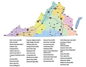
Those parks include (click park name for specific info):
 

In addition, the National Park Service is discouraging unnecessary travel in and to western North Carolina. Limiting travel helps prioritize making vital infrastructure repairs in the communities hit hardest by Helene.  Many roads continue to be closed due to unsafe conditions.
Most programs at all state parks across North Carolina have been cancelled, also through Oct. 31, 2024.
 
For the latest updates click here:
 

 Virginia State Park Closures 

Due to Hurricane Helene, some Virginia State Parks are also closed or partially closed. 

Last updated by Virginia DCR: Oct. 9, 2024. 10:00 a.m.

Grayson Highlands

The park is open. The equestrian trails are expected to open Oct. 15.

Due to road closures on US-58, the only access to the park for the foreseeable future is via Rt. 600 from Chilhowie Exit 35, from Interstate 81. 

Please be aware that this route includes two sections of long, straight pulls of significant grade that may be difficult for vehicles towing large campers.

The park is under a boil water notice for all water sources in the park pending additional testing.

The Mount Rogers National Recreation Area is currently under a Temporary Closure (PDF) until Oct. 1, 2025 or until terminated by an Authorized Forest Service official, whichever comes first.

With this order, access to the MRNRA for backpackers and equestrian use through Grayson Highlands is prohibited and reservations for the Overnight Backpackers Lot will be unavailable until the closure is lifted.


New River Trail:

PARTIALLY CLOSED. Sections of the park are open. Campgrounds will be closed through Feb. 28, 2025.

 View a trail guide with closures marked. (PDF)


Claytor Lake

All launch areas on the lake are closed due to excessive debris. Launching kayaks or other small watercraft from shore, as well as swimming and fishing are also not possible due to the debris along the park shoreline.

To get up to date info on all Virginia State Park closures,  Click here.

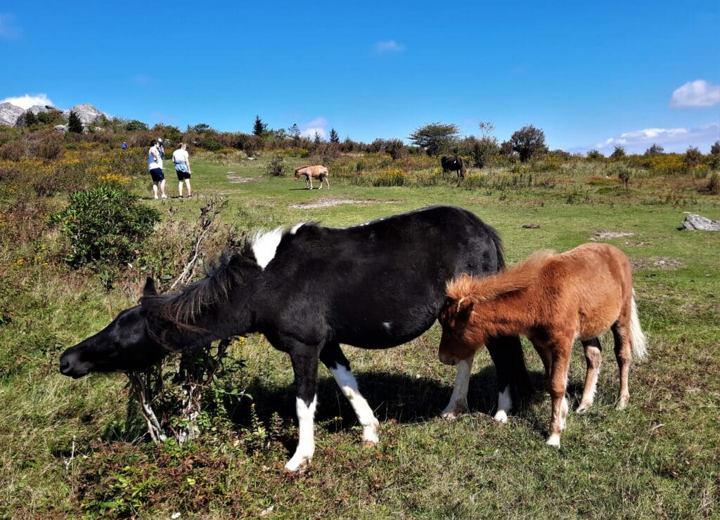
Ponies at Grayson Highlands State Park.
 National Park Closures  
 
Some of our nearby National Parks are or were closed or partially closed through an abundance of caution in the days immediately following Hurricane Helene.
 
Many have now partially or entirely re-opened and are encouraging visitors to come and bring their tourist dollars and other donations, as the towns need revenue from visitors more than ever to help rebuild!
 
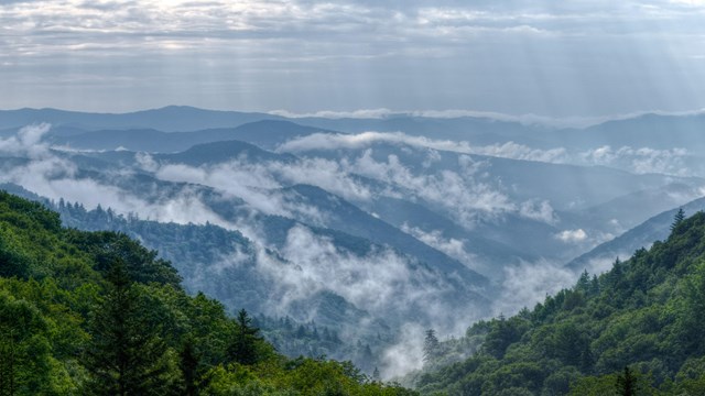
Mists rise from the mountains after a summer rain.

Great Smoky Mountains National Park
If you’re planning to visit Gatlinburg and the Smokies,  the TN side of the National Park was largely unaffected (other than the Hartford area near Davenport gap on the AT), and the NPS are saying the whole Park is open, with the exception of some Alerts they’ve posted to their site (listed below).
 
I haven’t seen what the trail itself looks like there, but I’m still planning to hike the Park in late October, with Gatlinburg as my base.  I’ll report back on conditions via the IRW Facebook page.
 
The community there is EXTREMELY tourism dependent, and your business will be greatly appreciated.
 
They say there are donation centers set up in the area if you want to help when you come.  I plan to load up my car and drop it off when I get to town.  The locals there will help get it where it needs to go.
 
Click this link to learn about up to date trail and road conditions:  www.nps.gov/grsm/planyourvisit/conditions.htm
 
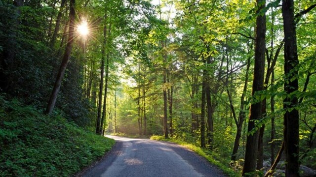
A gravel road surrounded by bright green trees with sun shining through the canopy
 
Alerts as of Oct 15:
 
      • Balsam Mountain, Cataloochee, and Big Creek areas closed
      • Foothills Parkway East closed
      • Lakeview Drive closed

Trail Advisory

Alert 4, Severity closure, Trail Advisory

Several trails in the park are temporarily closed. Please check the “Trail and Backcountry Closures, Warnings & Cautions” section of the Current Road, Facility, Trail & Backcountry Updates page for further details.
 
A straight stretch of Skyline Drive bordered by trees ablaze in fall colors.

Shenandoah National Park

As of Oct 4, all trails closures in Shenandoah National Park have been lifted!
 
In case of any confusion, Shenandoah National Park is fully open and operating under normal conditions.
 
Keep updated with park closures and weather conditions by  visiting their alerts and conditions page on our website.
 
 
damascus-at-sign

Appalachian Trail (AT)

If you are planning a section hike, day hike or thru hike on the AT, please be aware of current conditions in the area where you are planning to go.
 
Dangerous conditions exist with thousands of trees potentially down, increasing chance of injury exponentially.  The likelihood of rescue is also far more difficult and will severely tax local rescue efforts already with their hands full.
 
 
The Appalachian Trail Conservancy is a private nonprofit and doesn’t have the authority to close sections of the A.T. However, for the reasons above, they are urging hikers to avoid the entire A.T. from Springer Mountain to Rockfish Gap (NOBO miles 0.0 to 864.6), regardless of formal closures.
 
Latest Status from the ATC website:
 

Current Conditions 

10/11/2024, Updated 8:20 a.m.  

The ATC, National Park Service (NPS), and U.S. Forest Service (USFS) have updated guidance for A.T. hikers based on initial, limited assessments. 

10/11/24 Update: The Blue Ridge Parkway and parkway lands in Virginia from Milepost 0 to 198 reopen today. This includes the A.T. on parkway lands between Black Horse Gap and Rockfish Gap.

Visitors should be aware that trail assessments have not been completed in all areas and caution should be exercised when hiking.

Additionally, they may find fewer services than normal as many parkway employees are assisting with operations in North Carolina, where the impacts of the storm were far more severe. Areas closed due to construction prior to the storm will remain closed. 

Go to the Appalachian Trail Conservancy website to see detailed updated information.
 

 State Trails  

We are lucky to have a number of statewide trails in North Carolina.  Some of them have been partially damaged by Hurricane Helene.

Blue Ridge Parkway

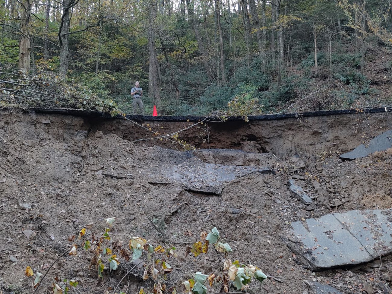
Man standing on a road with the surface partially collapsed
Road washout on the Blue Ridge Parkway at Milepost 345
 

The Blue Ridge Parkway from milepost 0 to milepost 198 in Virginia (which closed due to impacts from Hurricane Helene) reopened at 8 a.m. on Friday, October 11.

The National Park Service hopes to reopen the remainder of the parkway in Virginia within the next two weeks.

“Due to the hard work of the Blue Ridge Parkway crews, we are able to open nearly 200 miles of the Blue Ridge Parkway in Virginia,” said Tracy Swartout, superintendent of the Blue Ridge Parkway. “While we celebrate this achievement, we also recognize that significant and, in some areas, long-term work remains in North Carolina. We are committed to restoring all sections of the parkway to the highest standards of safety and accessibility for our visitors.”

Visitors should be aware that trail assessments have not been completed in all areas and caution should be exercised when hiking. Additionally, they may find fewer services than normal as many employees are assisting with operations in North Carolina, where the impacts of the storm were far more severe. Areas closed due to construction prior to the storm will remain closed.

The entire length of the Blue Ridge Parkway in North Carolina remains closed as crews continue emergency stabilization and damage assessments following Hurricane Helene.

Updates will be posted on the Blue Ridge Parkway website at www.nps.gov/blri .
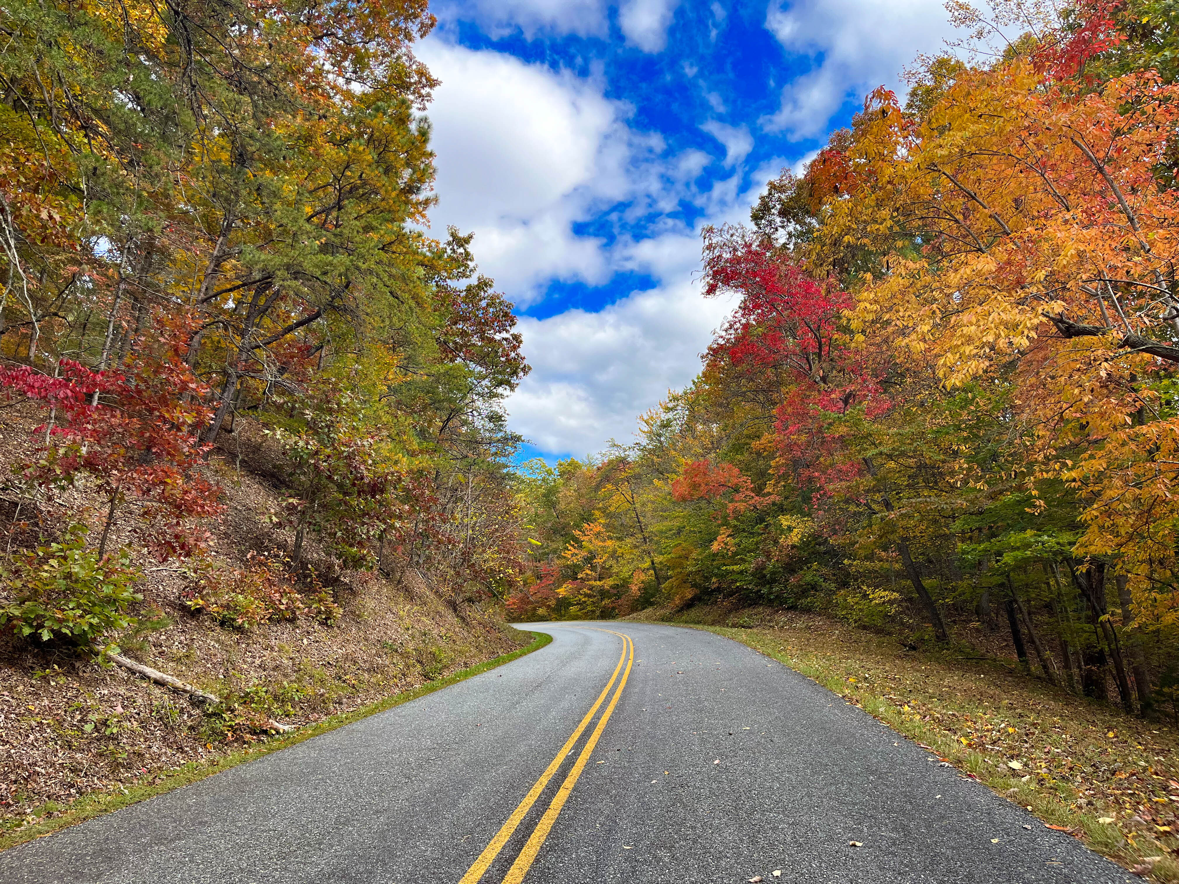
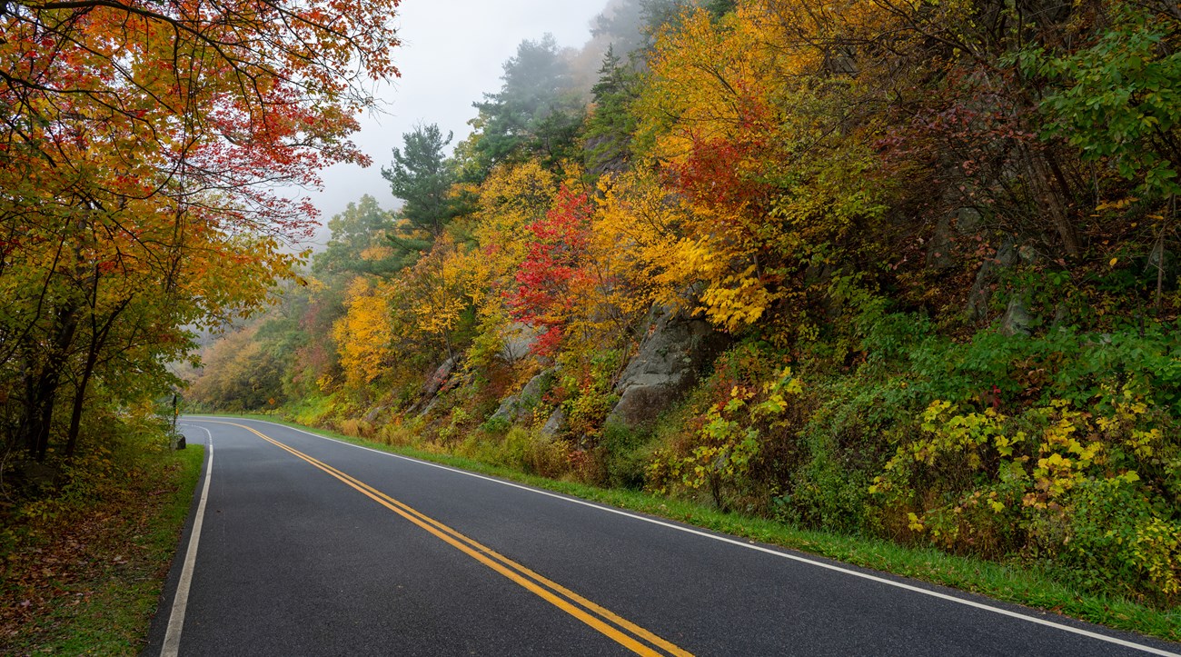
Two lane road lined with trees in the fall.
Blue Ridge Parkway lined with colorful trees in the Fall.

Mountains to Sea Trail (MST)

The following update, as of October 4, comes from the Friends of the Mountains to Sea Trail:

“The MST from Kuwohi (Clingman’s Dome) through Stone Mountain State Park should be considered closed and highly dangerous.”
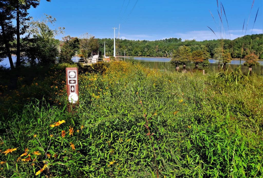
MST Trail blaze in Falls Lake

“In the coming days and weeks, we will be surveying the trail and assessing damage, but trail restoration is a very low priority in light of the humanitarian crisis facing western North Carolina, and it is likely that sections of the trail will remain closed for a significant length of time.

Many of us are searching for ways to help. The State has created a North Carolina Disaster Relief Fund and is accepting financial donations here.

If you live outside the affected area, many places are hosting supply drop sites that you can find online or through social media.”

Please note, authorities are asking people from outside the impacted areas to not travel there and put additional strain on the limited resources available.

Click to See MST Segment Guide Updates
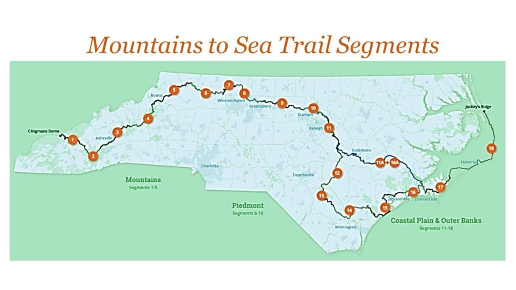
The length of the MST across North Carolina.

 ROAD CLOSURES 

There are a lot of road closures in and around the area affected by Hurricane Helene, including some of the bigger highways.   
 
Scenes like this are heartbreaking and also prevalent across WNC following #HeleneNC.
Scenes like this on the BRP are heartbreaking and also prevalent across WNC following #HeleneNC.
 
The Blue Ridge Parkway is not a NCDOT-maintained road, but it is representative of the ongoing road dangers in the area.
 
Go to DriveNC.gov  and view the entire State for up to date recommendations.
 
Check your route before you go, and plan for longer driving times.
 
As of Oct 12 the NC DOT said:
 
ESSENTIAL TRAVEL ONLY
TO AREAS IMPACTED BY HURRICANE HELENE
Road conditions may still be hazardous in the affected area.  Ongoing response efforts remain the priority, and non-essential traffic hinders recovery. 
 
Expect excessive traffic delays in the affected area due to emergency response activities.
 
Travel between western North Carolina and Tennessee is extremely limited, especially for trucks greater than 30 feet long.  I-40 and I-26 are closed at the TN/NC line.  The estimated repair time for I-40 is currently unknown.


Status of Parks, trails and roads are changing daily. 
 
Please check back and click on the provided links for the most up to date info before you travel!


To Get New Idratherwalk Posts
sent directly to your inbox (how convenient!) Click this Button


Have a Kids’ Day of Adventure at Raven Rock State Park

Most recently updated January 18th, 2022

Estimated Reading Time: 12 minutes

Raven Rock State Park, a North Carolina state park, was a favorite destination when my daughter was in grade school.

Walking along the Campbell Creek Loop.

Located near Lillington, North Carolina, it covers 4810 acres along the banks of the Cape Fear River.

We would go on our own, or with another single Mom friend who also had young kids, and make a day of it.

The kids loved the access to the Cape Fear River at the Fish Traps rapids, and scrambling on tree roots and rocks on the trail to the massive Raven Rock.

The trails were short enough that we hardly ever had to carry them back to the trailhead – a big plus, since neither of us were all that much bigger than the kids 🙂

I haven’t had much reason lately to make the 50-minute drive to Raven Rock, since my daughter (though still pretty short) has been out of grade school for much longer than a decade now – and I usually like longer trails.

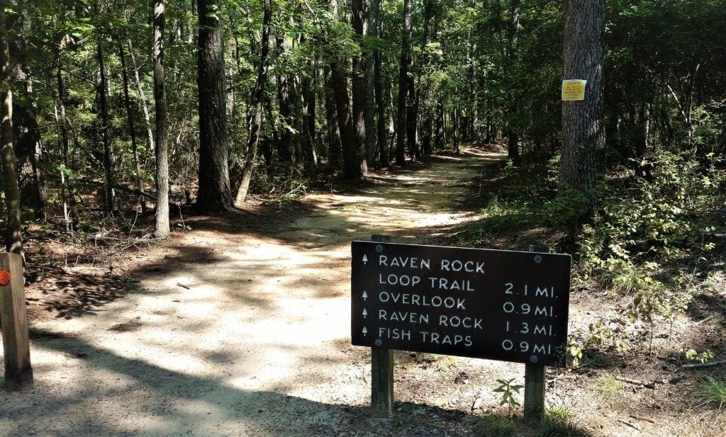
Trailhead sign at the Raven Rock loop.

I’d also lost touch with my friend, and though we’d comment on social media now and then, hadn’t really talked for at least ten years – no reason, just the kids got older and we had drifted apart.

Then, when I went to wish her a happy birthday, I found that she’d recently passed away.

So I decided to take a trip down to Raven Rock, walk the trails, and remember my friend.

Some things had changed, but the park is still a good place to go for a walk – with your kids or on your own.    🙂

Continue reading Have a Kids’ Day of Adventure at Raven Rock State Park