Most recently updated February 25th, 2023
– It’s Week 6 of our training! Are we there yet?
If you’re like me, you’re getting tired of this training routine and are ready to move on to something else – hopefully something, you know, easier…
But don’t do it! Keep going, just for a couple of weeks longer.

And with that encouragement… on to my Week 6 Training report!
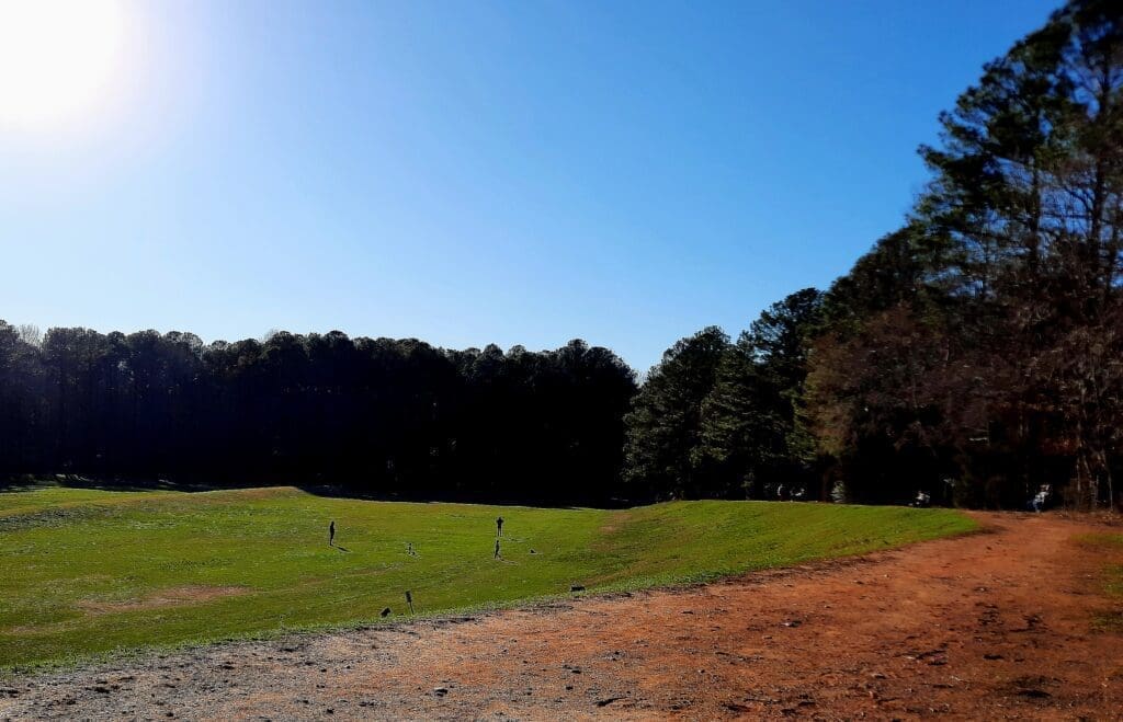
Monday was a beautiful day, so I joined Lenore and a good group of hikers for what I thought was going to be a pretty flat 7-ish mile hike in Umstead State Park on the Multi-Use trails.
With that in mind, I loaded my pack with 15lbs extra to make it a strength-training day.
 But in a mid-hike surprise twist, Lenore handed the reins over to Michael.
We ended up tromping through a less-traveled section of the woods, fording streams and climbing mud banks before we were through!
It turned out to be an 8.25 mile hike in all.
It was so much fun, I hardly noticed the extra weight in my pack 🙂
Tuesday was a kickboxing and upper body weights day in my home gym – despite the wonderful sunny Spring-like weather outside.
This is because Tuesday was also “refrigerator day” and I was trapped there until my new fridge was delivered and the old one removed.
But it was also Valentine’s Day and That Man and the puppy came to my rescue, just moments after the fridge business was over.
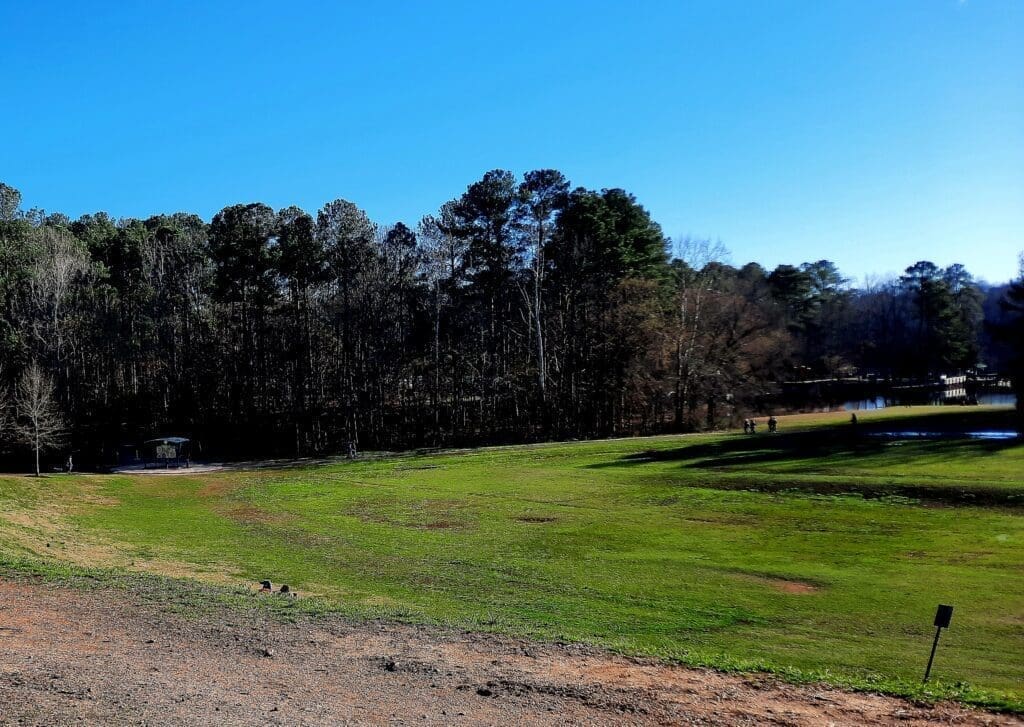
We had just enough daylight left to have a picnic and take a nice 3 mile walk in Bond Park!
Wednesday was supposed to be my “rest” day, but it was another nice NOT rainy day and I couldn’t stand it!
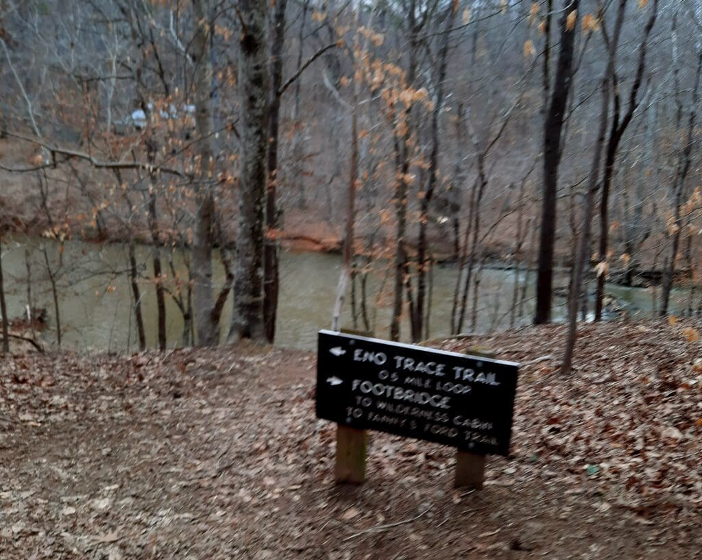
So after some yoga, I loaded 15lbs extra weight (and a snack lunch) into my pack, and set off to explore a bushwack at Eno River State Park.
A “bushwack” is when there’s no official trail blazed from one point to the other, so you’re just using landmarks or info from other hikers to find your way.
This particular bushwack was an out-and-back from the Cole Mill Road trail access to the Pleasant Green Road trail access in Eno River State Park – about 6 miles in all.
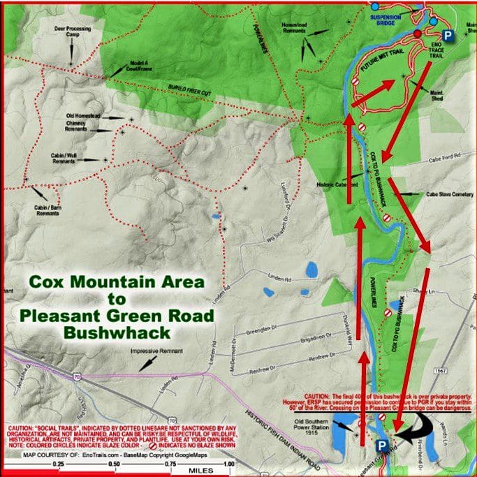
Aside from looking for a passable hiking route between the two access points, I was also hoping the find the old Cabe Ford in the river, and the old slave cemetery back in the woods behind the powerline cut.
Cole Mill to Pleasant Green Road Bushwack
I was fortunate to have some guidance from the Eno.com website to get me started on finding a route.
Starting from the Cole Mill Road Loop Parking area, I took the Eno Trace Trail, staying close to the river until it turned uphill to the left.
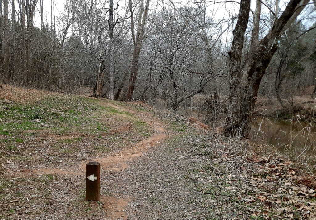
At that point, I left the established trail and followed the river bank downriver.
There was still a trail to follow, but it was un-blazed.
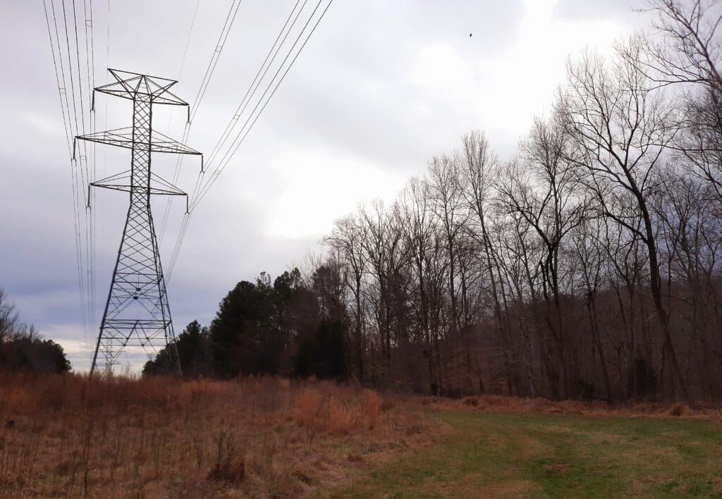
I followed the trail south under the powerlines until it turned left away from the river.
I had to cross a small creek – fortunately someone had placed stepping stones to make it easier.
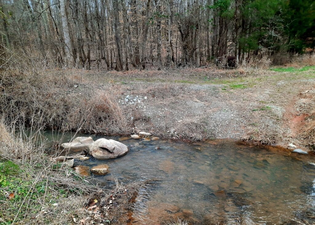
After a while I came to the remnants of the old Cabe Ford in the river.
I knew from the map that the the historic cemetery for the slaves of the Cabe family was nearby – supposedly just a a few hundred yards away from the river.
I poked around, but I didn’t see anything, so continued to follow the river.
After a bit, the trail turned back into the forest, and the way became less obvious and not so well-used.
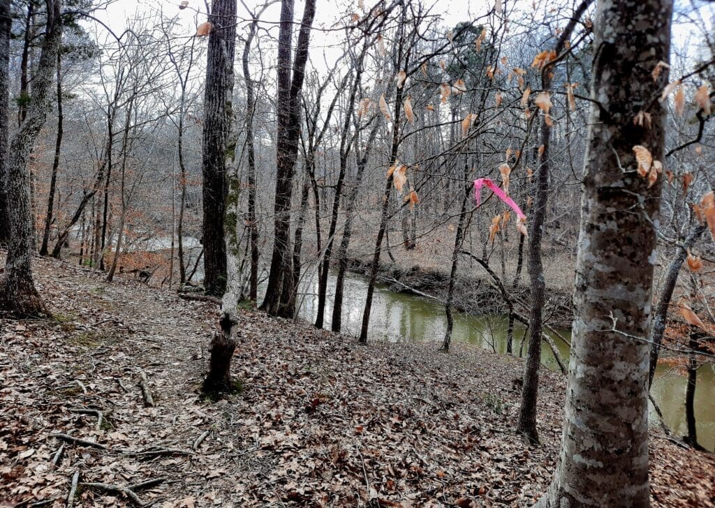
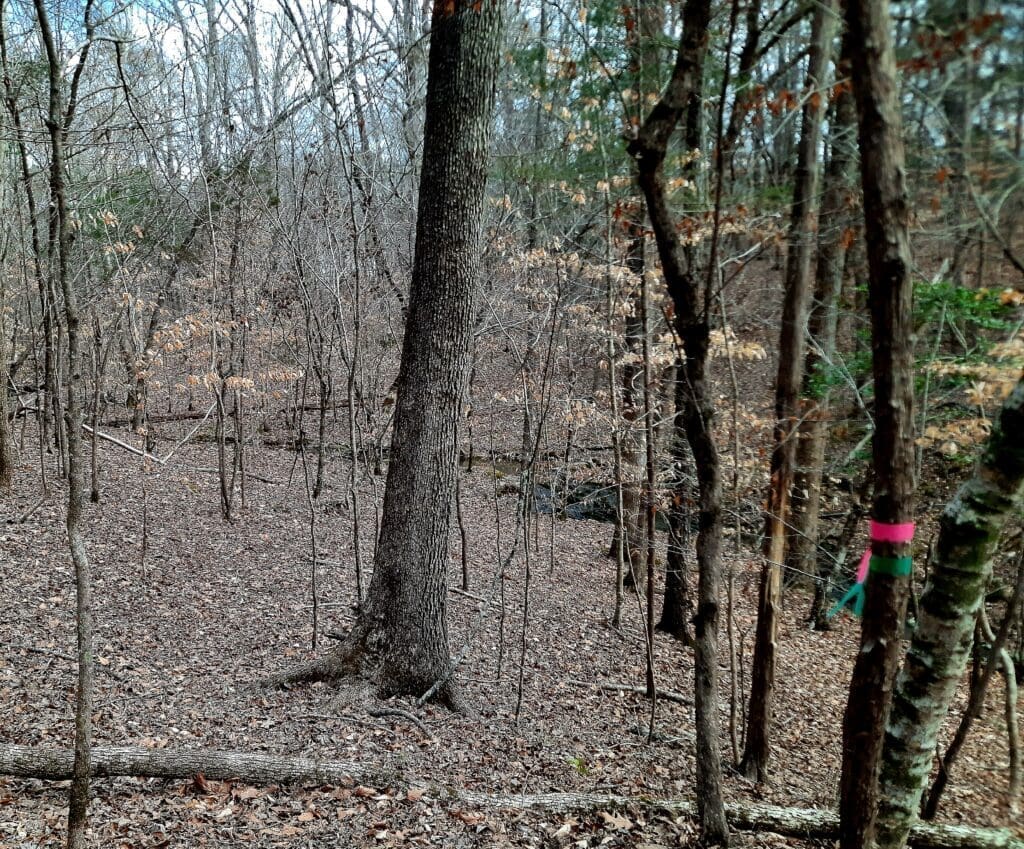
Then I noticed the pink ribbons tied at intervals to the trees….
At first, I thought it was just some random surveyor’s marks, and I thought they’d stop after a couple of ribbons. But they kept going!
And not only did they keep going, but now there were both pink AND green ribbons tied to the trees.
I’d had my suspicions before, but now I knew for certain – it was Bushwack Fairies! 🙂
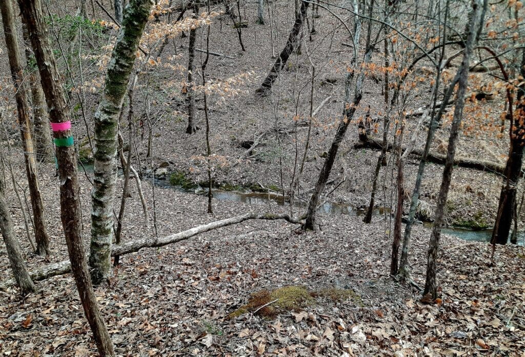
And thank goodness for the Bushwack Fairies, because the way became more and more obscure – especially hidden under fallen leaves – so I just followed the ribbons.
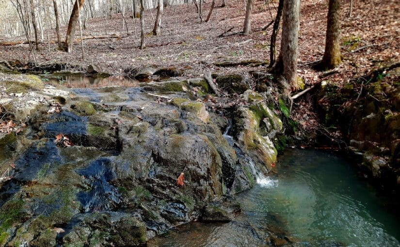
After a while, I had to cross a small creek, but couldn’t find a good place, so I followed it up on one side and came to another larger creek, with some little waterfalls.
This would be a good spot to take a break and have a snack on a sunny day.
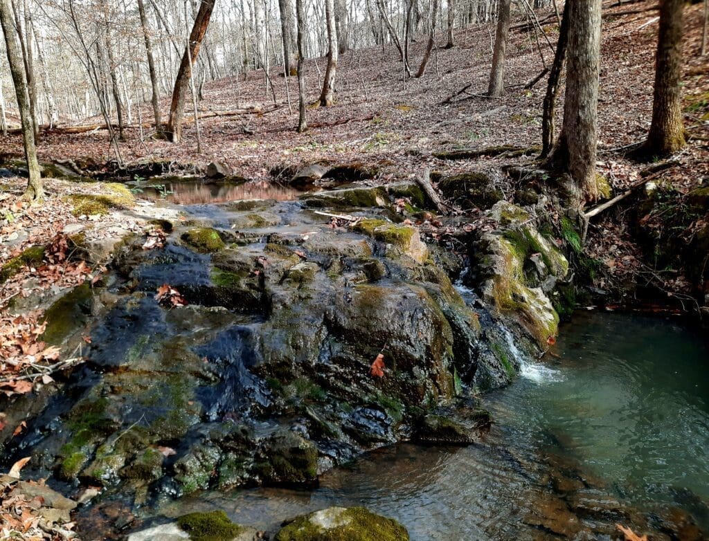
This was a pretty large creek with a series of waterfalls upstream adding to the water flow.
I crossed the creek on the rocks and kept going, staying on the high ridge and following the pink and green ribbons when I could see them.
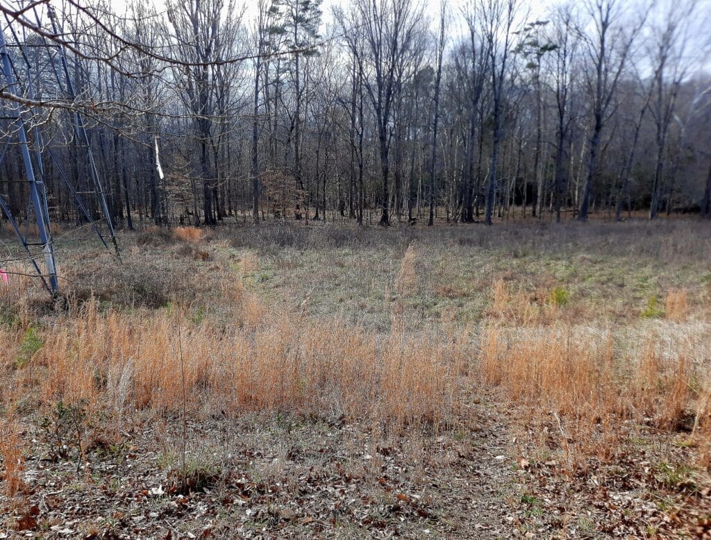
I passed a house with a pond just outside the State Park lines, then emerged from the woods to the powerline cut again.
The trail goes back into the woods and follows the river.
Along the way, I saw some unexpected waterfalls on the other side!
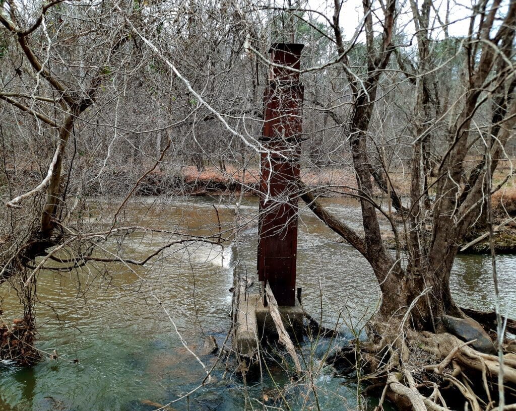
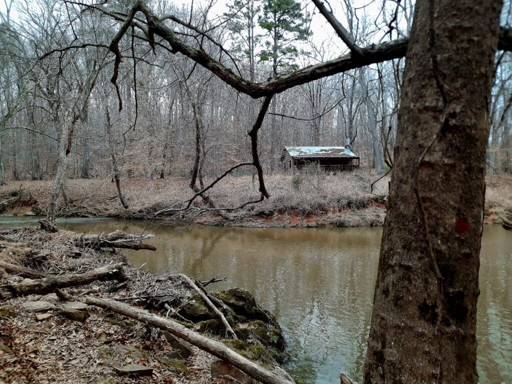
Eventually, you end up going through some scrub brush along the river to a point where you approach some old farm buildings.
Emerging from the bushes you can see the Pleasant Green Road Parking area on the other side of the river.
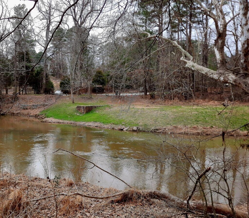
About a quarter mile further down, the trail ends at the bridge on Pleasant Green road. This is where you would cross the river to actually get to the Pleasant Green Road parking.
But since the bridge and road were under construction, and there were a lot of cars backed up, I decided that seeing it from across the river was good enough!
I went back down the trail the way I came, with no surprises.
But when I got back to the woods near the powercut, I decided to try again to find the Cabe slave cemetery.
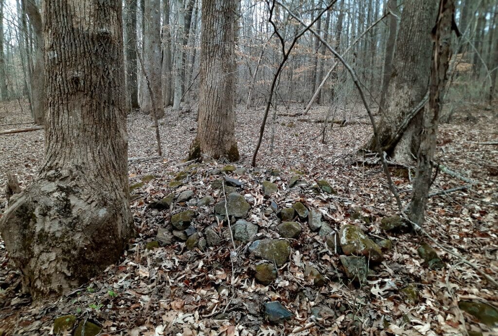
I found remnants of stone walls in the cemetery location shown on the map.
I don’t know for sure that these were part of the cemetery, but there were no other ruins that I could see nearby.
I retraced my steps back to the parking lot at Cole Mill, then got in the traffic line behind the flag guys on the Pleasant Green bridge 😉
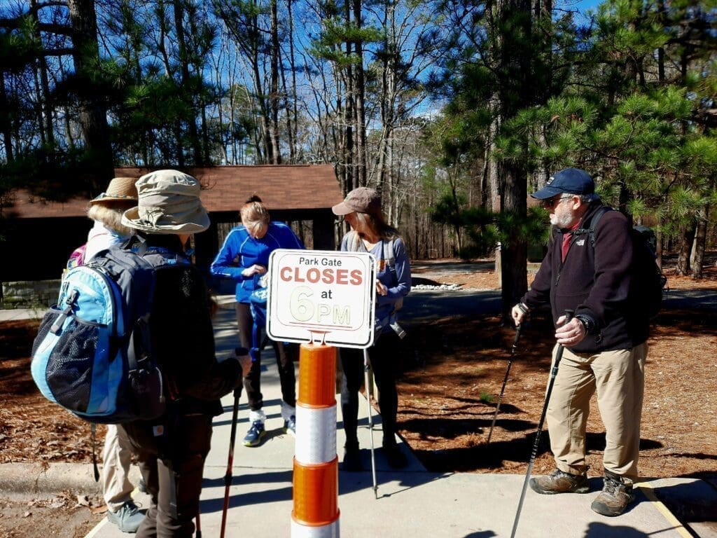
Thursday started with a balmy 9.3 mile hike on the MST at Falls Lake with a great group of hikers!
This hike is one of my favorite sections of the MST, because it’s long enough to know you’ve had a hike, and has some interesting features along the way – including the friendly horses in trail- adjacent corrals.
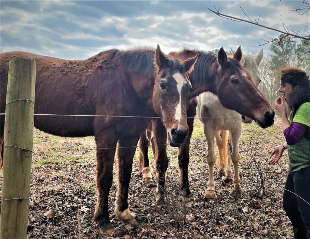
Sometimes they ignore me, but this time I was worried I didn’t have enough apple to go around! I’ll bring more next time 🙂
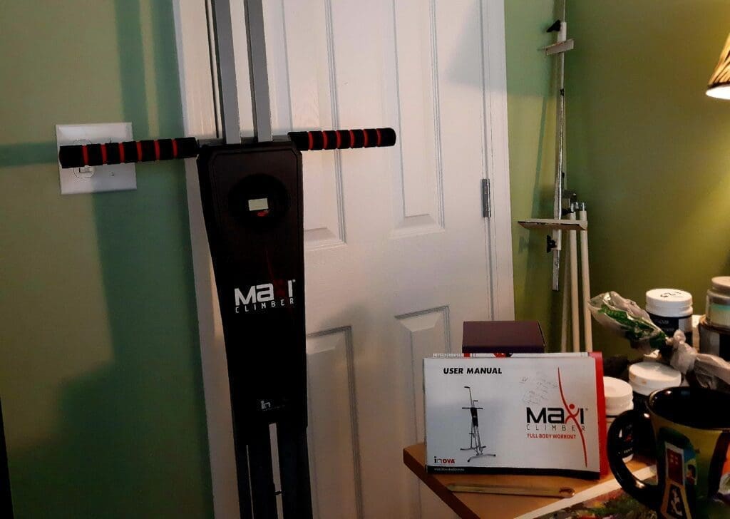
Friday I finally did take a rest day, and just did some yoga…but I also put together my new Vertical Climber machine and tried it out for about 30 minutes.

I got the machine because I really need to get more training in really steep vertical gain hikes.
The hike I’m training for has several miles of almost straight vertical climbing up rock faces – almost as steep as cliff climbing.
CLICK HERE to see purchase details for the Vertical Climber.
Saturday was a rainy day, so I did a treadmill climb in my home gym with 10lbs on my back.
I did 2 miles in 35 mins with 1000ft vert gain, then another 2 miles in 30 mins with 700ft elev loss.
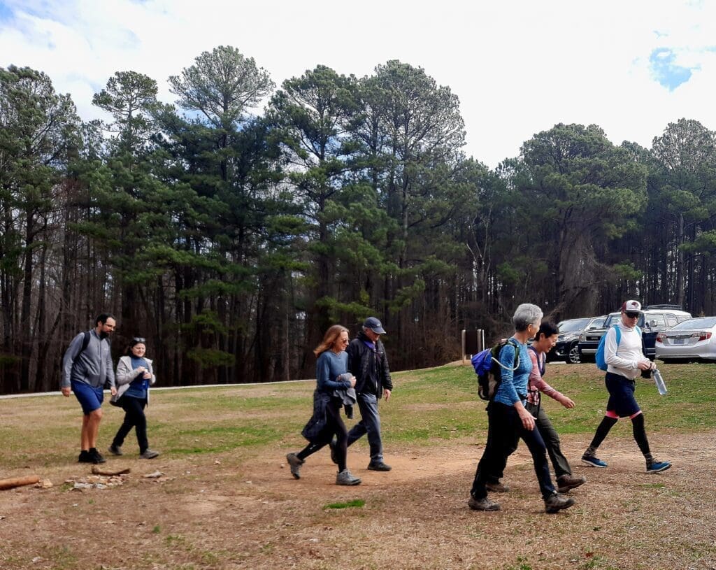
Sunday I led a great group of hikers in what ended up around 9 miles at Umstead State Park.
It was a long hike but a fast one, with an average pace of 3.7 mph.
Next up: Week 7!! Let’s make it a good one 🙂
TAKEAWAY LESSON: Don’t give up if you’re getting bored or worn out in the middle of the program – change it up, make it fun, or take a rest day – but keep on going!
We’re winding down with this year’s 8-week hike training, but you can get started and do it on your own whenever you want!
Take a look at my 8 Weeks to Awesome Training Plan post, if you want to see what this hike training is all about.
To Track Your “Awesome” Progress at Home Click Here!

You’ll get instructions and three printable trackers:
-
- Your Hike Plan Worksheet
- Daily & Weekly Workouts
- Weekly Meals tracker
Happy training! LJ
I hope you’ve found my Training Log ramblings to be helpful- or at least amusing! 🙂
To see more of them go to my Training Log. Thanks for stopping by – see you next time! LJ

LJ has spent much of her free time as a single Mom – and now as an empty-nester – hiking in the US and around the world. She shares lessons learned from adventures both local and in exotic locations, and tips on how to be active with asthma, plus travel, gear, and hike planning advice for parents hiking with kids and beginners of all ages. Read more on the About page.