Walk or Run on Stroller-Friendly Routes in Bond Park
Most recently updated June 21st, 2023
Bond Park and Umstead State Park in Cary, NC are a couple of local places that I go to hike, walk and run that are easy to get to and always deliver a really good experience.
Minimum driving, maximum time on the trail is what I’m usually looking for.
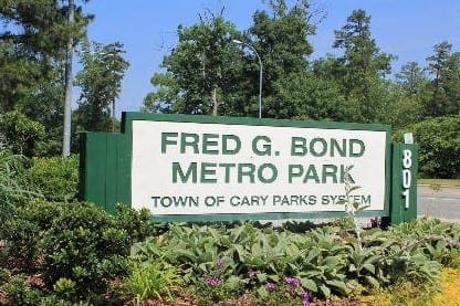
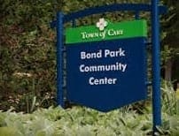
Entry sign at Bond Park in Cary, NC
I’ve been using the trails and other park amenities both on my own and with my kids since I first moved to the area in 1996.
Like all of us, the park has changed over time and also – I hope like all of us – has improved with age as well.
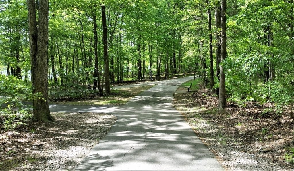
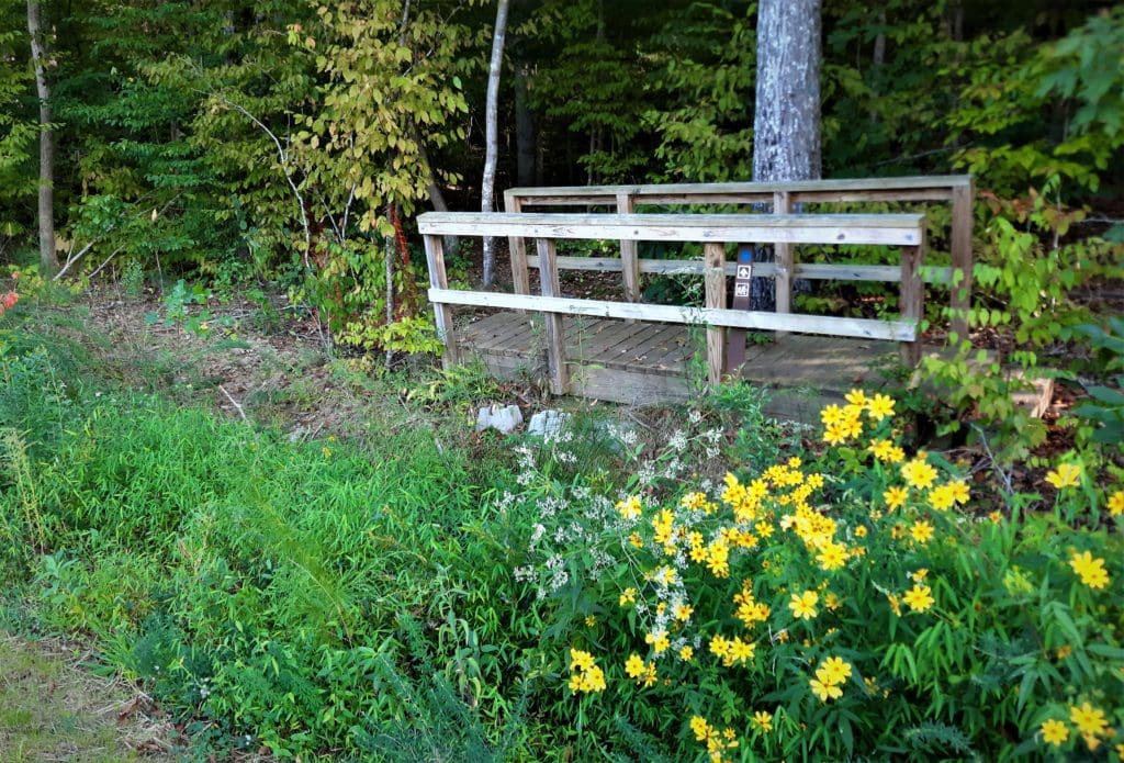
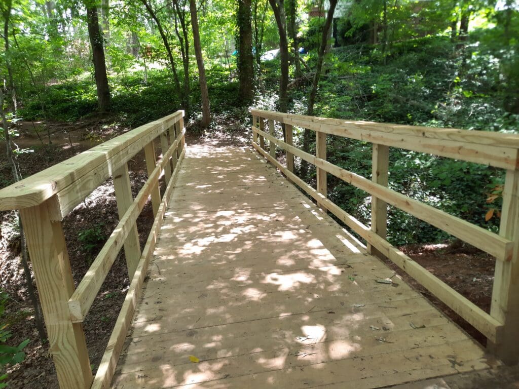
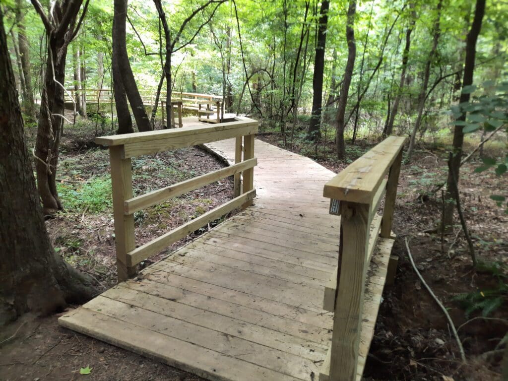
Actually, I recently took an afternoon break to walk Bond Park’s Lake Trail, and found significant improvements to all of the the walkways and bridges along the way!
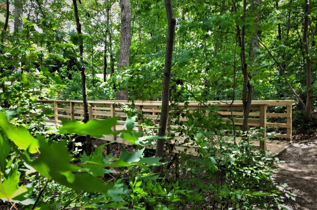
Updated bridge on the Lake Trail in Bond Park.
Read on to learn about the Lake Trail and other trails and combined routes inside Bond Park.
Some of my posts contain affiliate links. If you make a purchase through an affiliate link, I will receive a small payment at no additional cost to you. I do not get paid for recommendations, all opinions on this site are my own. See full Disclosure page here.
If you’re new to the Cary area – especially central Cary, Bond Park is for sure one of your best bets for outdoor family activities.
Here’s a short list of other local parks to try, and each has their own personality!
FAVORITE LOCAL PARKS
Downtown Cary Park’s iconic central fountain in winter time.
Cary Parks and Rec, along with our County and State park administration, has done a great job making sure I can find what I’m looking for close to home.
This new urban park, with a festive lighted fountain at the center, is a community gathering place that also provides a destination for downtown urban walks.
Major improvements are being made to the Downtown Cary Park, but construction should be completed sometime later this year.
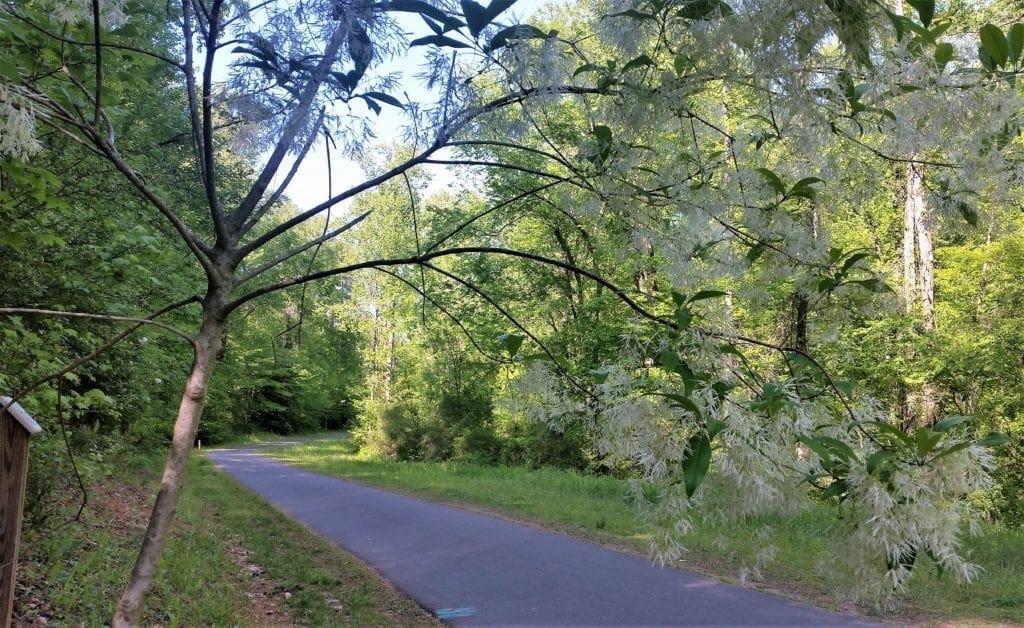
Flowering tree along the Capital Area greenway in Raleigh.
But more about that another time….
Bond Park is the one I want to share with you today.
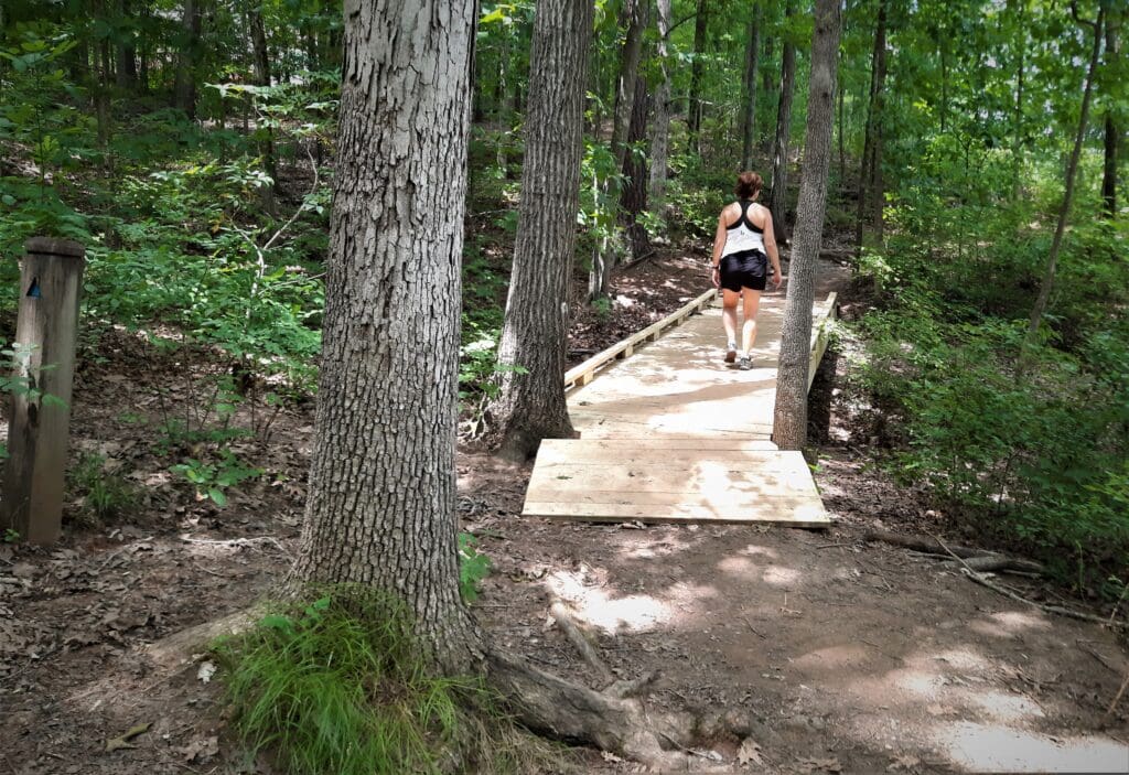
Walker on the Lake Trail.
CAVEAT
The running/walking routes I include are filled with detail from my personal experience that I hope will be useful to you if you want to try them out.
Normally I try to entertain AND inform, but this particular post leans heavily to the informational side. At the least, I’ll try not to be boring! 🙂
I give an overview of the park below, followed by three detailed walking/running routes you can follow, and one mega-route for a longer adventure.
NOTE: Two of the routes I share are baby jogger and stroller-friendly.
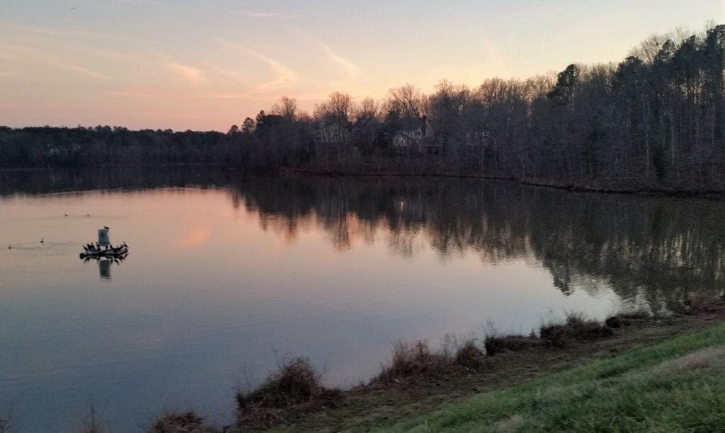
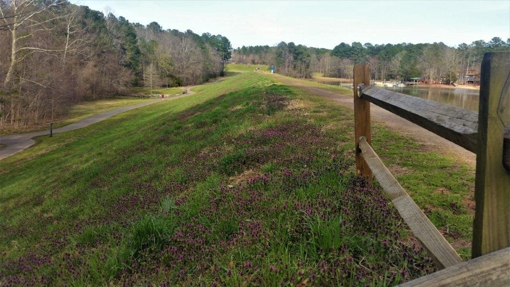
The Lake Trail goes along the top of the burm at Bond Lake.
BOND PARK OVERVIEW
Fred G. Bond Metro Park, located off of High House Road, is Cary, NC’s largest and most popular metro park.
At 310 acres, it’s one of the largest municipal parks in Wake County.
The park design includes natural woods, a lake, several ball fields and also open fields for flying kites, playing with your dog or just hanging out.
These features allow for a variety of recreation, including jogging and biking on the greenways, and boating or fishing at Bond Lake.
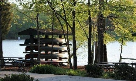
You can rent a canoe at Bond Park.
The park holds several rentable picnic shelters, a playground for kids, and is home to Town of Cary events throughout the year.
It also houses the 350-seat Sertoma Amphitheatre for outdoor musical and theater events. (Reservations are available to Cary residents only. )
Basketball, other gym sports, and art and other classes are available in the Community center. There is also a Senior Center on site.
Bond Park Community Center houses classes and special events.
Kid friendly and dog friendly, you can see why Bond Park is a favorite place to go for Cary locals, and not-so-locals.
Bond Park provides a natural setting that’s not as untouched as the nearby Umstead Park, but the park design still highlights natural beauty over man-made additions.
BOND PARK TRAILS
The park’s smaller (than Umstead) scale, more abundant conveniences and amenities – like snow cones, a jungle gym, and rental boats – make it a great place for families with young children.
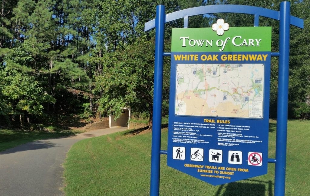
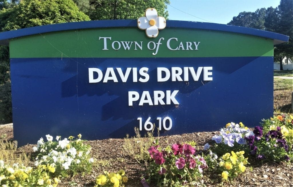
White Oak Greenway between Bond Park and Davis Drive Park.
The park trails, too, are more family-friendly than those at Umstead: while there are some natural trails, many of the trails are paved for bikes and strollers – and the trails are individually less than 3 miles in length.
Back in December of 2003, the Town Council approved the Parks, Recreation and Cultural Resources Facilities Master Plan. The proposed greenway system included over 170 miles of trails.
One of the main recommendations of the 2003 greenway plan was to develop Bond Park as a “hub” of the greenway system due to its central location.
An extended improved walkway on the Lake Trail.
Since the plan’s approval, many of the new trails have been implemented and old ones connected to other local trails and greenways.
You can see a detailed description of the main hiking trails inside Bond Park here.
There are more than 4 miles of paved and natural hiking and running trails inside the park.
Like the Umstead trail combinations that begin in the State Park and go beyond it’s borders, a Bond Park trail can be just the beginning of your journey, if you wish it to be.
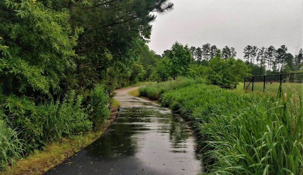
The Lake Trail Loop isn’t very long, but it’s a nice natural trail that hugs the lakeshore.
Unfortunately, in the past, that’s meant that the trail could get very muddy after rain. But not any more!!
I recently walked the Lake Trail and found all of the bridges and walkways have been improved – and more have been added.
Play
This means you can hike the Lake Trail alone (or in combo with other trails) and not be too worried about mud 🙂
Another improved bridge in Bond Park.
TRAIL COMBINATION ROUTES
Though the longest “official” Bond Park hiking trail is less than 3 miles long, I routinely run a loop route that is 4-5 miles or more of combined natural trails and paved greenways.
My route may vary depending on weather: the back half of the Lake Trail can get muddy after a hard rain, and some of the natural trails can develop puddles as well.
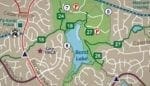
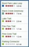
Legend 6. Bond Park Lake Loop Trail
7. Bond Park Paw Paw Loop Trail 8. Bond Park Pine Cone Loop 18. White Oak Creek Greenway 24. Crabtree Creek Greenway 26. Oxxford Hunt Greenway 27. Black Creek Greenway
Below are descriptions of a few of my combined trail/greenway routes, and estimated lengths. I’ve tried to include helpful landmarks and features along the way.
There’s usually no trouble finding parking, and trail access points are on both sides of the lot.
You can refill bottles at the water fountain and use the restrooms before you head out.
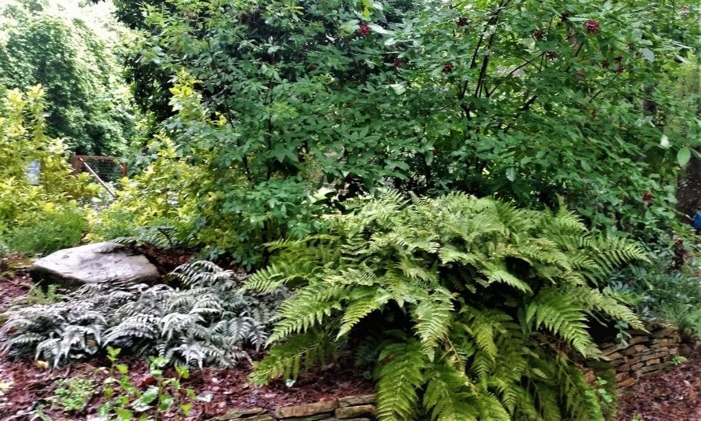
Lush foliage in the garden at Bond Par’s composting center.
The Routes
Routes 1&2 use some natural trails, so would not be good with stroller or after a hard rain.
Route 3 and the longer Black Creek Greenway routes would be great for pushing a stroller or baby-jogger.
Trail closed near Black Creek Greenway due to the ongoing construction project.
NOTE:The Crabtree Creek Sewer Rehabilitation project continues to impact the Black Creek Greenway. Please check the Town of Cary website for updates on progress and trail closures.
1) LJ’s Sunny Route (with natural trails)
Starting from the Community Center parking lot, take the trail access at the bottom right corner of the lot (as you face the building).
There’s a kiosk near the access point. The entrance is paved with red brick.
See highlights of this route in the video below:
Play
Go into the entrance and take a left onto the natural trail. This is the Pine Cone Loop Trail. Follow the trail up the hill, and you’ll see two trails going off to your right.
Turn right on the furthest trail up the hill, and follow it down through the woods to the main road into the park. Cross the road to the other side.
When you’ve crossed the park road, there will be a short bit of tar pavement and a vertical post on the other side, then the trail will turn to gravel and continue up a hill, and then down another hill.
Greenway sign near the tunnel that goes under Cary Parkway.
When you come to the next paved trail, take a left. This is the Black Creek Greenway. Follow the greenway. After a bit you’ll go up a short steep hill.
At the top of the hill you can go straight or take a right to go around a small lake.
I wasn’t able to find out what it’s called, so I just call it “No Name” Lake.
Play
Take the right turn and follow the greenway around to a residential street – Castalia Drive. (Don’t cross the street to the next greenway section at this point.) Stay on the same side of the street and follow the path around so you’re facing back where you just came from.
This is the turn in your loop for the way back. Head back down the greenway, going back the way you came.
When you come to the Pine Cone Loop natural trail, take a right onto the trail. Follow the trail back up and across the park road, and back through the woods until you reach a T in the trail.
To the left, the trail goes back to the entrance where you came in. To the right, the trail continues around the back of the Community Center. Take the right turn.
Sign on the Lake Trail.
Follow the natural trail, you’ll cross a sidewalk, go back into the woods and up a hill to a T.
Take the right turn and cross another park road into the woods on the other side. you’ll come out and cross another park road.
Take a right on the path across the street.
The path runs parallel to the road and then turns left into the woods. Keep to the farthest right path (to the left is a path back towards the Community Center, and a middle path goes to a Ropes Course). This is the Paw Paw Loop Trail.
Follow the trail to the edge of the woods. The trail gets a little gravelly, and then ends at a paved greenway T. This is the White Oak Creek Greenway.
Take a right on this paved greenway, and follow it to the broad stairs up the hill (on your left). Go up the stairs.
Play
From here, you can go left and take the path along the top of the lake burm, back down to the paved path around the kiosk and up the hill on the right side of the open field.
Cross the street back to the Community Center parking lot.
This route is 4-5 miles long.
2) The Longer Sunny Route
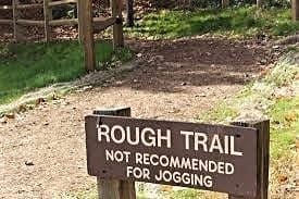
For a longer route, take a right at the top of the stairs into the woods on the Lake Loop Trail. This rougher natural trail goes around Bond Lake and comes out on Oxxford Hunt Greenway.
If you take a left on the greenway, you can follow it back to the boathouse parking lot and beyond to the foot of the hill by the kiosk.
Go up the hill and cross the street back to the Community Center parking lot. This route is 5-6.5 miles long.
3) LJ’s Stroller-Friendly Route
(This route is all on paved surfaces.) Starting from the Community Center parking lot, take the trail access at the bottom right corner of the lot (as you face the building). There is a kiosk near the access point. The entrance is paved with red brick.
Go into the entrance and take a right onto the red brick path. Cross the road to the other side.
Follow the paved path down the hill, and you’ll see two paved trails: one goes to your left, the other goes off to your right, past the kiosk.
View of Bond Lake from the Lake Trail burm.
Take the paved trail to the right and around behind the grassy burm. This is the White Oak Creek Greenway. you’ll reach a right turn on the paved path, take it to stay on the White Oak Creek Greenway.
Keep going; you’ll cross a small plank bridge and see picnic tables and archery targets to the right of the trail (they belong to the Cary YMCA).
You’ll eventually come to a tunnel that goes underneath Cary Parkway. Go through the tunnel – you’re still on the White Oak Creek Greenway.
When you emerge from the tunnel, you’ll continue on the paved path past a playground on your right and over two small plank bridges until you come to the kiosk at MacArthur Drive.
This is your turnaround point. Go back the way you came.
This route is 4-5 miles long.
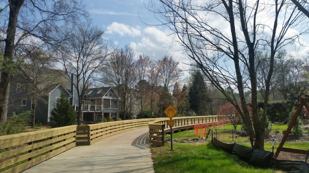
New raised boardwalk section from MacArthur Drive to Davis Drive Park.
ADD ON:
To tack a couple of miles on to this route, keep going across MacArthur Drive to the new boardwalk connector trail.
The raised boardwalk will take you through a neighborhood, under a tunnel and into Davis Drive Park.
You can extend this route to Davis Drive Park.
You can turn around here and retrace your steps, or continue on and eventually reach the American Tobacco Trail.
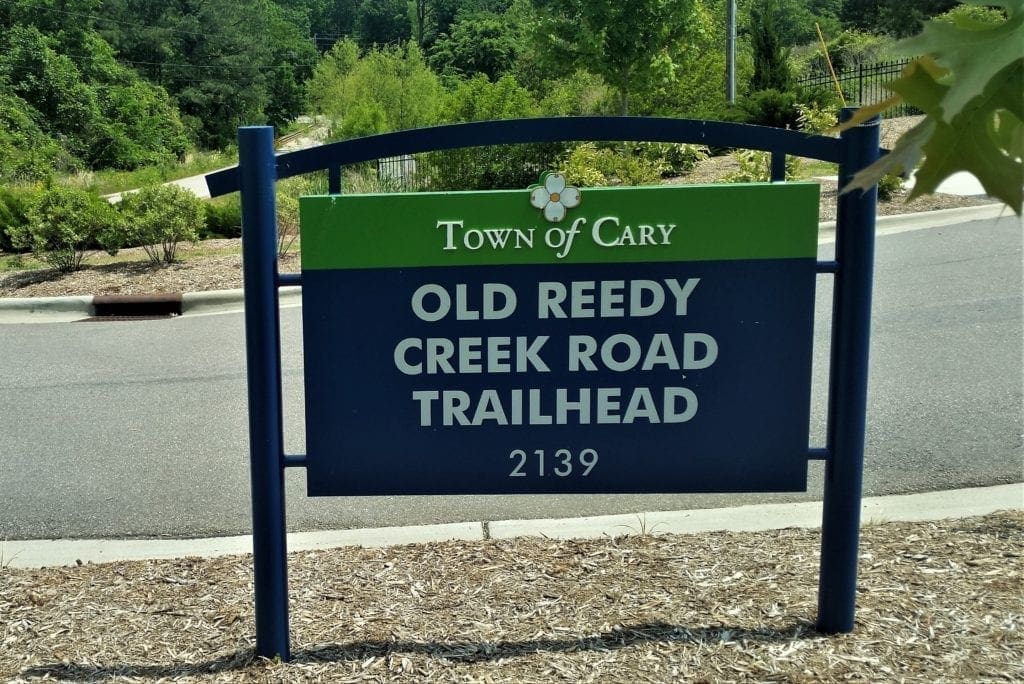
If you want a much longer route to hike or bike, you could start on the Black Creek Greenway in Bond Park, and take it all the way to the Old Reedy Creek Trailhead on the edge of Lake Crabtree County Park.
Entry sign at the Old Reedy Creek Road Trailhead.
NOTE: this route is not recommended for children due to its length and occasional proximity to traffic.
To get started, follow the Sunny Route (as above) until you reach Castalia Drive, and (instead of turning around) cross the street to the next section of the Black Creek Greenway.
Follow it around until you reach the corner of High House Road and Maynard. Cross High House Road and go down the right side of Maynard until you reach the next section of the Black Creek Greenway.
Follow the greenway until you reach Carrousel Lane. Cross the street to pick up the greenway that follows alongside Maynard Road.
Wait for the light, then Chapel Hill Road and follow the greenway through the tunnel. You’ll pass the Cary Dog Park on the left and come out in Godbold Park. (See video below for this section.)
Play
Use the pedestrian crosswalk to cross Maynard Road, then go right to take the greenway all the way to W. Dynasty Ave. Cross the street and turn right to go down the hill. you’ll turn left to get on to the next section of the Black Green Greenway.
Walk or bike for another 2.5 miles to get to the Old Reedy Creek trailhead.
This route would be about 13 miles one way.
For such a long way, I would recommend biking rather than walking.
The whole route is paved, and – though you have to cross streets a few times – you never have to ride or walk in the street.
But Wait, there’s more!
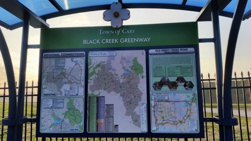
Kiosk at Old Reedy Creek trailhead.
If you wish, you can keep going from the Old Reedy Creek Trailhead across the old bridge into Umstead State Park on the multi-use trail and travel across the park all the way to the NCMA Park and the Capital Area Greenways into Raleigh.
For more local hiking and biking options, click here to see the complete map from the Town of Cary website of all the different trails, bike paths, and greenways in town.
Ok, now I’m tired of writing about it and need to get out and move around! So many parks! 🙂
Greenway at Davis Drive Park.
I hope you find this post useful and have a great time at Bond Park!
For more articles about local, State and National Parks, see the Hiking Destinationspage.
If you have any questions drop me a line at idratherwalkblog@gmail.com and I will respond as quickly as I can.
Thanks for stopping by – see you next time! LJ
To Get New Idratherwalk Posts sent directly to your inbox (how convenient!) Click this Button
LJ has spent much of her free time as a single Mom – and now as an empty-nester – hiking in the US and around the world. She shares lessons learned from adventures both local and in exotic locations, and tips on how to be active with asthma, plus travel, gear, and hike planning advice for parents hiking with kids and beginners of all ages. Read more on the About page.
Published by
LJ
LJ has spent much of her free time as a single Mom - and now as an empty-nester - hiking in the US and around the world. She shares lessons learned from adventures both local and in exotic locations, and tips on how to be active with asthma, plus travel, gear, and hike planning advice for parents hiking with kids and beginners of all ages. Read more on the About page.
View all posts by LJ
Do you dream of a great hiking trip but aren’t sure where to go?
Need some practical tips on finding amazing trails locally and at adventure travel destinations?
I have a few ideas that might be perfect for you 🙂
Sign up to get new Idratherwalk.com articles in your inbox every month!


 You can see a detailed description of the main hiking trails inside Bond Park here.