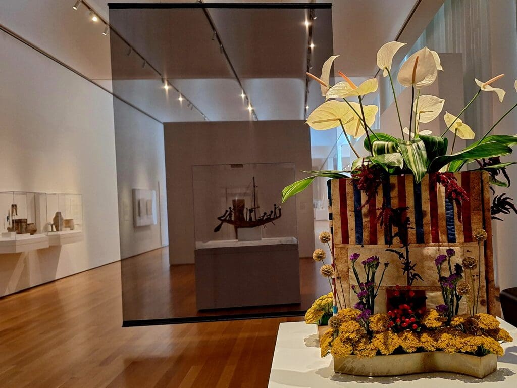
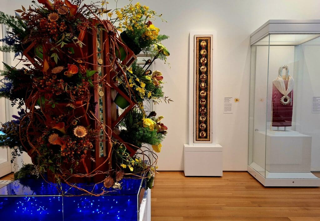
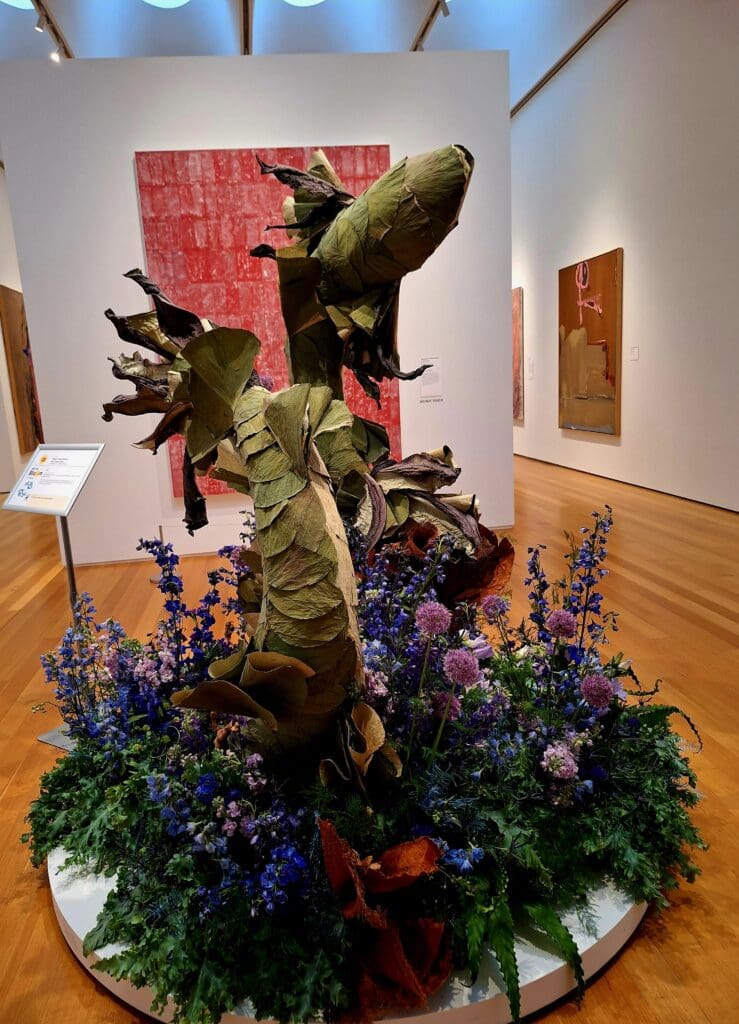
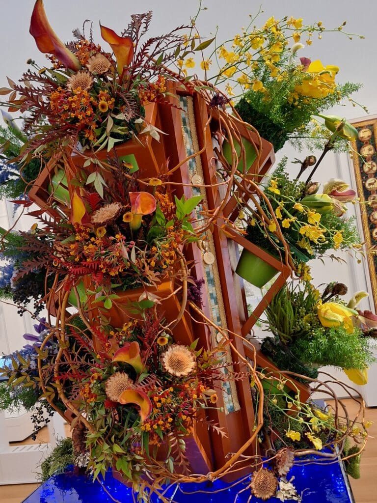
Below is a gallery of snaps I took at the media preview for the “Art in Bloom 2026” exhibit at the North Carolina Museum of Art.
Exhibit from Art in Bloom 2026
I’ve put the Gallery on a different page than my main article, for release after the show is over, so I don’t spoil it for people going to the exhibit.
“Art in Bloom” is an annual fundraiser at the North Carolina Museum of Art, taking place March 18-22, 2026.
Beautiful florals at Art in Bloom
More than 50 floral designers from across North Carolina and beyond will interpret artwork and objects in the NCMA’s People’s Collection during this five-day festival of florals.
This year’s theme, “Written in the Stars”, is reflected in 14 gallery installations inspired by the zodiac’s astrological signs and their various meanings.
I was lucky enough to be invited to a media “sneak preview” of the exhibit before it opened. And I have to say, if you can find a way to get there – do it!!
Opening remarks at the Art in Bloom media preview.
As the NCMA’s largest annual fundraiser, Art in Bloom supports the museum’s public programming, annual exhibitions and the NCMA Foundation, Inc.
(PNC Bank returns as the founding presenting sponsor of Art in Bloom.)
The five-day event also includes floral workshops, lectures and programs as well as special extended hours and expanded food options.
The North Carolina Museum of Art’s collection spans more than 5,000 years, from antiquity to the present, making the institution one of the premier art museums in the South.
The NCMA collection provides educational, aesthetic, intellectual and cultural experiences for the citizens of North Carolina and beyond.
The museum is located at 2110 Blue Ridge Rd. in Raleigh and is home to the People’s Collection.
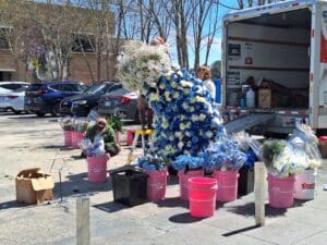
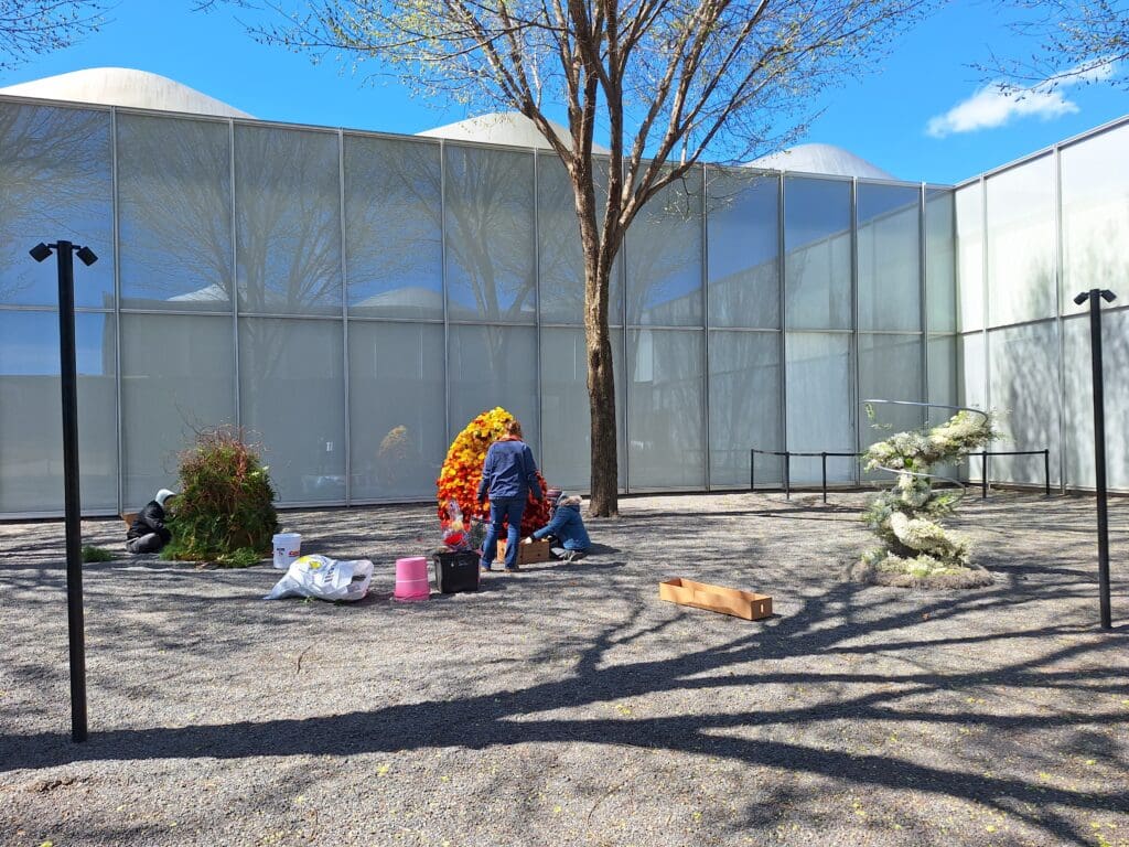
Last minute touches before the show!
Just a word about parking at the NCMA during Art in Bloom – even if you’re just there to go to the park – it will be terrible!
If you can park at a nearby location, and walk in, it will be much better for you ! 🙂
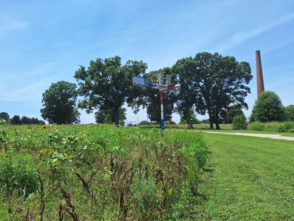
About the NCMA Art Park
The 164-acre Museum Park showcases the connection between art and nature through site-specific works of environmental art.
Whirligig sculpture and remaining smokestack in NCMA Art Park
The museum park offers changing special exhibitions, classes, lectures, family activities, films and concerts.
Until just recently, due to Hurricane Helene and flooding from Chantal, numerous National and State Parks have been closed in W North Carolina and parts of southern Virginia.
But within the past couple of weeks, some roadways and bridges have been restored – but only partly and with slower speed limits. That’s great news! But many detours are still in place. It may still take up to a year to make some repairs.
For your safety – as well as the safety of Park staff and emergency response workers – please don’t attempt to access roads or parks that have been closed.
NOTE: In the past few weeks, new flooding and wildfires have also impacted the area. Please check for conditions before you travel to W North Carolina!!
I’ve listed some info below, and links to the latest info updates for your hike and travel planning.
Happy trails – LJ
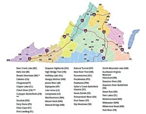
NC State Park Info
Some North Carolina state parks West of I-77 have opened or partially opened now, but some have been re-damaged. Please check before you go.
Some affected parks are listed below. Click park name for specific info:
The National Park Service is discouraging unnecessary travel in and to western North Carolina unless the area has been declared open and safe. Many roads continue to be closed due to unsafe conditions.
To get up to date info on all Virginia State Park statuses, Click here.
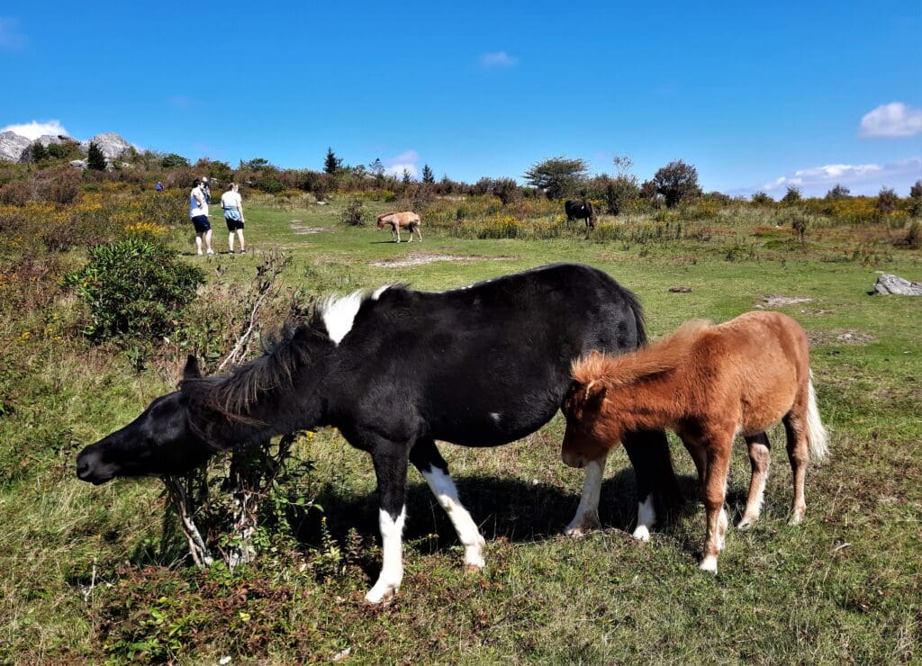
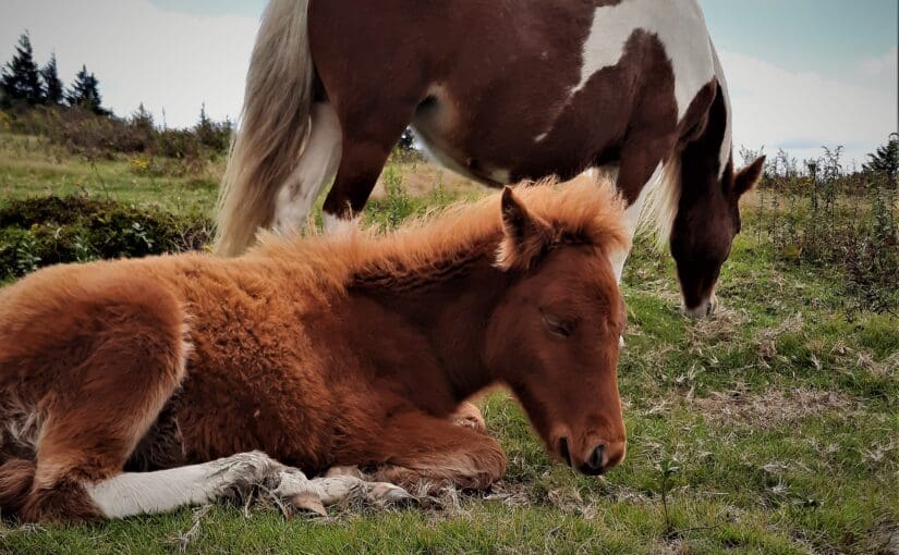
Ponies at Grayson Highlands State Park.
National Park Info
Some of our nearby National Parks are or were closed or partially closed through an abundance of caution in the days immediately following Hurricane Helene.
Sadly, some have had to close again due to recent flooding or wildfires.
That said, many have re-opened and are encouraging visitors to come and bring their tourist dollars and other donations, as the towns need revenue from visitors more than ever to help rebuild! Check before you go.
Great Smoky Mountains National Park
If you’re planning to visit Gatlinburg and the Smokies, the TN side of the National Park was largely unaffected (other than the Hartford area near Davenport gap on the AT), and the NPS are saying the whole Park is open, with the exception of some Alerts they’ve posted to their site (listed below).
The community there is EXTREMELY tourism dependent, and your business will be greatly appreciated.
Several trails in the park are temporarily closed. Please check the “Trail and Backcountry Closures, Warnings & Cautions” section of the Current Road, Facility, Trail & Backcountry Updates page for further details.
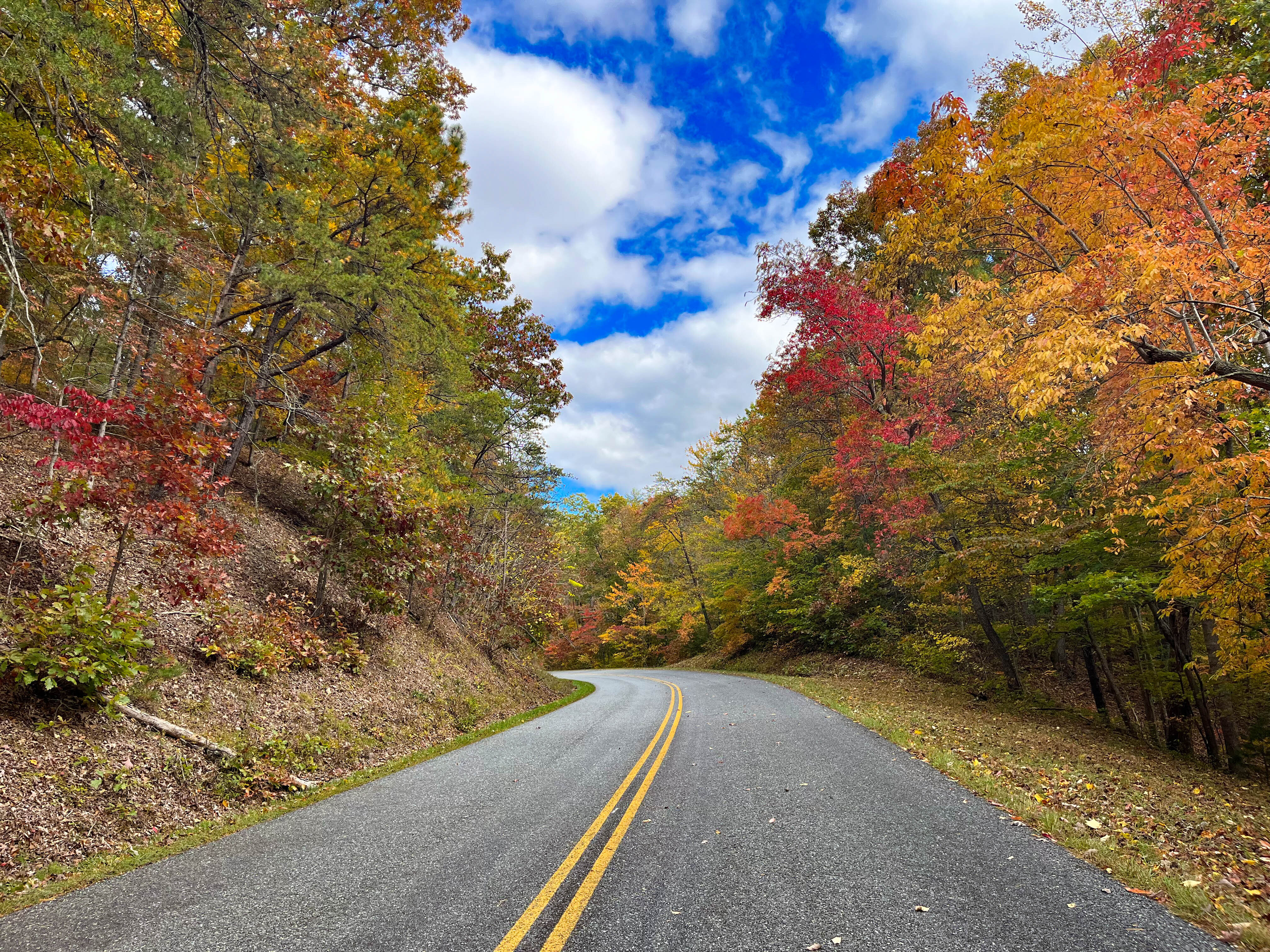
A straight stretch of Skyline Drive bordered by trees ablaze in fall colors.
Shenandoah National Park
In case of any confusion, Shenandoah National Park is fully open and operating under normal conditions.
Keep updated with park closures and weather conditions by visiting their alerts and conditions page on our website.
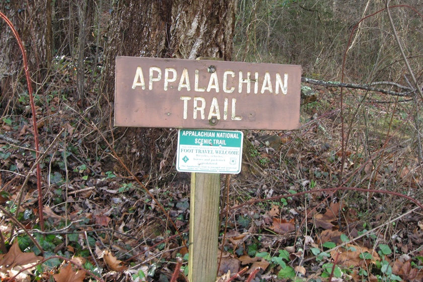
If you are planning a section hike, day hike or thru hike on the AT, please be aware of current conditions in the area where you are planning to go.
Dangerous conditions exist with thousands of trees potentially down, increasing chance of injury exponentially. The likelihood of rescue is also far more difficult and will severely tax local rescue efforts already with their hands full.
The Appalachian Trail Conservancy is a private nonprofit and doesn’t have the authority to close sections of the A.T. However, for the reasons above, they are urging hikers to avoid the entire A.T. from Springer Mountain to Rockfish Gap (NOBO miles 0.0 to 864.6), regardless of formal closures.
Latest Status from the ATC website:
Current Conditions
The ATC, National Park Service (NPS), and U.S. Forest Service (USFS) have updated guidance for A.T. hikers based on initial, limited assessments.
Visitors should be aware that trail assessments have not been completed in all areas and caution should be exercised when hiking.
We are lucky to have a number of statewide trails in North Carolina. Some of them have been partially damaged by Hurricane Helene.
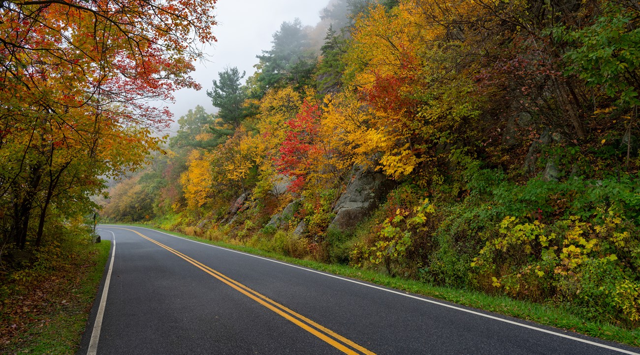
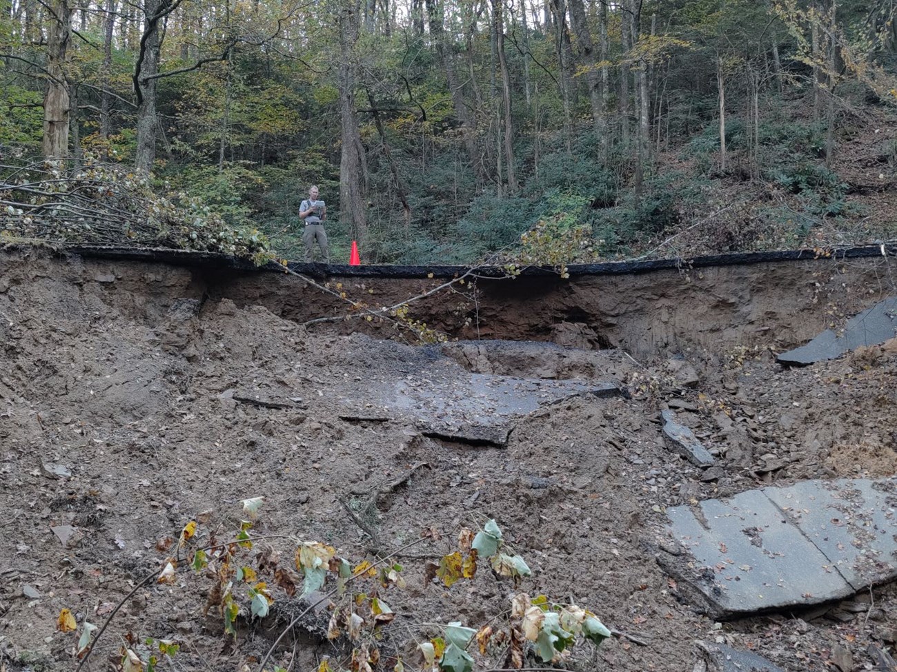
Blue Ridge Parkway
Road washout on the Blue Ridge Parkway at Milepost 345
Portions of the Blue Ridge Parkway may still be closed or may have been re-closed due to recent flooding and wildfires.
Visitors should be aware that trail assessments have not been completed in all areas and caution should be exercised when hiking.
Updates will be posted on the Blue Ridge Parkway website at www.nps.gov/blri .
Blue Ridge Parkway lined with colorful trees in the Fall.
Mountains to Sea Trail (MST)
The following update, as of October 4, 2024 comes from the Friends of the Mountains to Sea Trail:
“The MST from Kuwohi (Clingman’s Dome) through Stone Mountain State Park should be considered closed and highly dangerous.”
MST Trail blaze in Falls Lake
“In the coming days and weeks, we will be surveying the trail and assessing damage, but trail restoration is a very low priority in light of the humanitarian crisis facing western North Carolina, and it is likely that sections of the trail will remain closed for a significant length of time.“
There have been a lot of road closures around the area affected by Hurricane Helene and flooding from Chantal including some of the bigger highways.
Go to DriveNC.gov and view the entire State for up to date recommendations.
Check your route before you go, and plan for longer driving times.
Travel between western North Carolina and Tennessee is much improved, but still inaccessible and slower in spots. The estimated full repair time for I-40 is currently unknown.
The Grayson Highlands Park is right on the edge of the areas of North Carolina and Virginia that were hardest hit by Hurricane Helene.
That said, the Park is open (with some restrictions) and many of the surrounding communities are open for business and could really use your vacation dollars to help rebuild!
Go to my Hurricane Helene page to get the latest updates on the latest Park, Trail and road repairs.
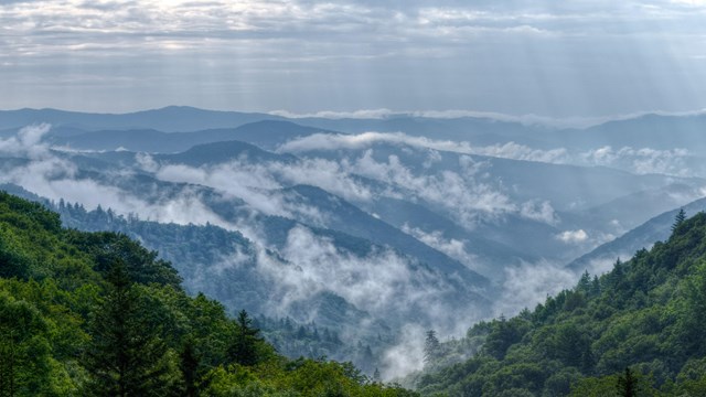
Smoky Mountains get their name from the mist that settles in the valleys.
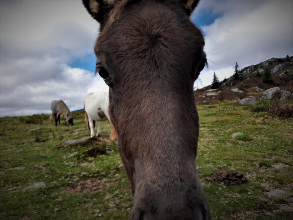
Grayson Highlands State Park in Virginia is a great place to go hiking and look for wild ponies!
I was lucky enough to spend a few days there in September a few years ago.
The Park covers 4800-acres, and is adjacent to Virginia’s highest peak at an elevation of 5,729 feet, Mount Rogers.
You’ll find camping, picnicking, overnight horse stables, a visitor center, hiking trails, and access to the Appalachian Trail at Grayson Highlands.
But the ponies were the REAL attraction for me 🙂
A young pony being friendly.
The mountain balds are inhabited by a herd of ~120 ponies that run wild within the confines of the Park.
They’re not at all shy, so you get a lot of chances to see them.
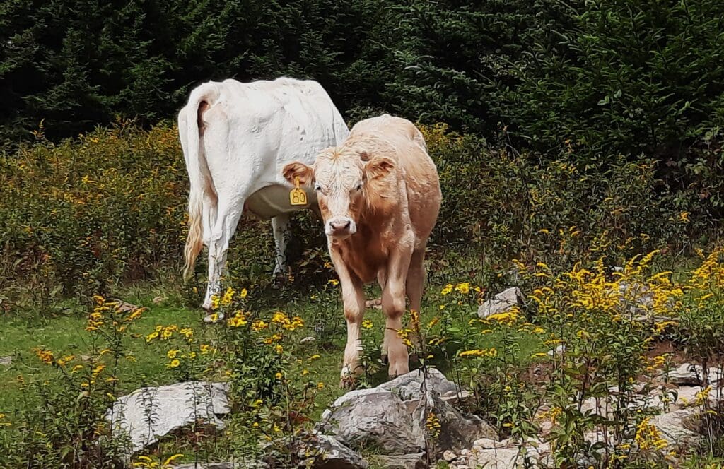
Grayson Highlands is home to other wildlife, too.
Visitors might also see black bear, bobcat, red fox, ruffed grouse, deer, and wild turkeys – and also longhorn cattle!
These cattle were blocking the trailhead, and also adorable 🙂
Read on to learn about the park and area history, hiking trails, and all of those wild ponies just waiting for you to visit!
Myrtle Beach, South Carolina is a favorite Summer family vacation spot!
Located in the center of the 60-mile long stretch of beach known as “The Grand Strand”, it’s one of the major tourist destinations in the entire country, attracting over 20M visitors each year.
Myrtle Beach Spring Break
Spring Break reveler at Myrtle Beach 🙂
Myrtle Beach is also a notorious Spring Break destination, but it’s not what you think!
The Spring Break crowd in Myrtle typically has adult supervision and isn’t the crazy College break scene like you get in Fort Lauderdale.
So Myrtle Beach is a good choice for both adult travelers and families with school-aged children on Easter break.
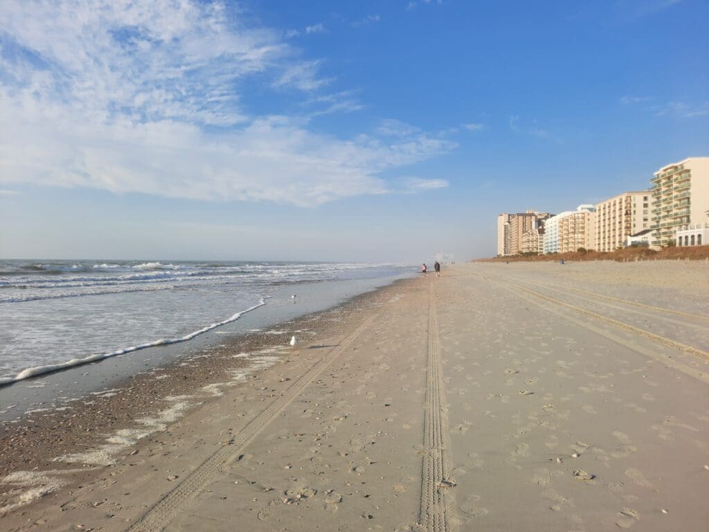
Winter at the Beach
I usually go to Myrtle in the off-season, because it’s both less crowded and less expensive then.
North Myrtle Beach in February.
And I like the beach in the Winter, because you can walk by the water for miles without suffering heat stroke 😉
That said, more things are open in the Summer season, when more people are around.
Read on to learn about fun activities I’ve found in every season – including the beach – that work for adult travelers and families, too.
The Great Channels are right on the edge of the areas of North Carolina and Virginia that were hardest hit by Hurricane Helene.
That said, the Park is open (with some restrictions) and many of the surrounding communities are open for business and could really use your Fall vacation dollars to help rebuild!
Go to my Hurricane Helene page to get the latest updates on the latest Park, Trail and road repairs.
Smoky Mountains get their name from the mist that settles in the valleys.
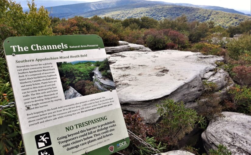
I finally got to explore the Great Channels on Brumley Mountain, Virginia earlier this Fall after obsessing over it for nearly a year!
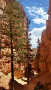
On the Navajo Trail in Bryce Canyon, Utah
The Great Channels sit at the summit of a mountain, and features a maze of slot canyons similar to those you might find in the parks in Utah or Arizona.
But the Great Channels formation is a surprise geologic gem hidden in southwest Virginia!
Anyway, last year, while planning a hiking trip to Grayson Highlands State Park (more on that later), I stumbled across an article about the Great Channels.
“Stumbled” is probably not the best word for a hiker to use, but you know what I mean 😉
I made some new friends at Grayson Highlands State Park.
The Channels are a series of deep crevices worn into prehistoric sandstone outcrops, where you can walk down into the maze-like network of crevices and explore.
You can also climb up on top of the Channels to get a stunning 360 view of the surrounding mountains!
Read on to learn how you can hike to the Great Channels, too.
The Blue Ridge Parkway runs through or very near areas of North Carolina and Virginia that were hardest hit by Hurricane Helene.
The North Carolina section of the Blue Ridge Parkway is closed, along with many other NC State Parks. That said, the Virginia side of the BRP and many surrounding communities are open for business and could really use your Fall vacation dollars to help rebuild!
Go to my Hurricane Helene page to get the latest updates on the latest area Park, Trail and road repairs.
Smoky Mountains get their name from the mist that settles in the valleys.
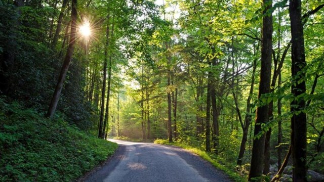
I’ve been driving the Blue Ridge Parkway (BRP) in North Carolina and Virginia to get between places for more than 25 years.
But, I have to admit – until the last couple of years – I have completely neglected Blue Ridge Parkway hikes!
Then last year, a hiking friend introduced me to the Rock Castle Gorge trail near Rocky Knob on the BRP. Ever since then I’ve kept an eye peeled for new Parkway hikes I could try.
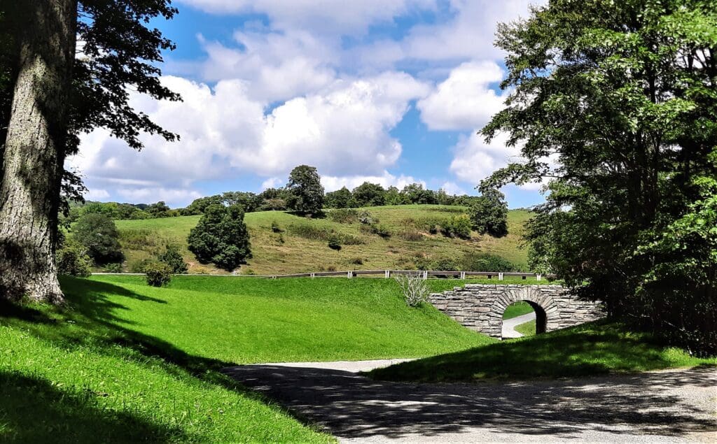
Tunnel beneath the BRP on a carriage road at Moses Cone Memorial Park.
And this summer… I found some! 🙂
This past season, I hiked some trails in and around Grandfather Mountain State Park (more on that later) and found myself driving the Parkway more than once to get from my lodgings in Banner Elk, NC to nearby trailheads and attractions.
One afternoon I finished a hike earlier than planned, and spotted Moses Cone Memorial Park on the way back.
It was a beautiful day, and I still had a couple of hours until sundown so I stopped to check it out.
Hike the carriage roads to the Flat Top Observation Tower.
I found beautiful grounds with 25 miles of hikes along old carriage roads, including a 5-mile RT hike to the Flat Rock Observation Tower!
Read on to learn more about the Flat Top Tower hike in Moses Cone Memorial Park and all of the other beautiful bridle and hiking trails you can experience there, too.
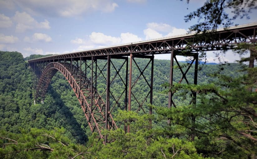
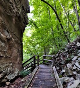
New River Gorge National Park and Preserve in West Virginia is our nation’s 63rd – and newest – National Park.
Rock wall along the Rend Trail in the Thurmond area.
The park encompasses over 70,000 acres of land along 53 miles of the New River from Bluestone Dam to Hawk’s Nest Lake.
In spite of it’s name, the New River is one of the oldest rivers on Earth, and has carved the deepest and longest river gorge in the Appalachian Mountains – dropping 750 feet over 50 miles!
More than a million people visit the gorge each year to kayak, canoe, and fish in the river or hike, bike, and camp on the land.
For the past few years, I’ve been one of them!
Each Summer, my family has a reunion in Indiana over the July 4th holiday.
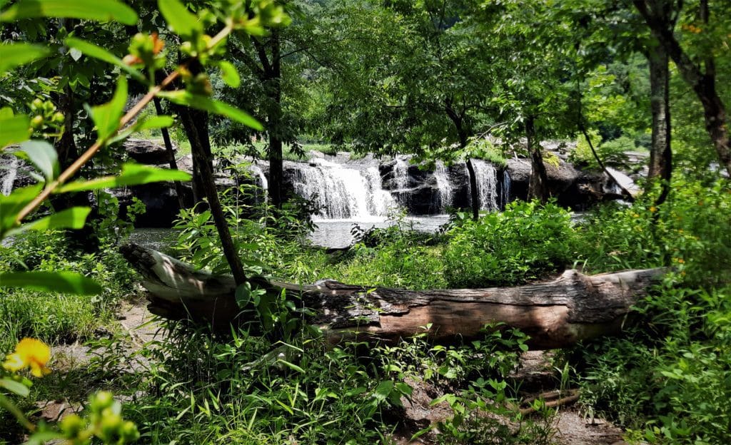
One of the smaller Falls at Sandstone Falls in the Park.
It’s a long drive, so on the return trip I’ve stopped at New River Gorge National Park to break up the drive and check it out.
The first year, I only had a day at the Park, but this time I scheduled 4 whole days! I was NOT disappointed 🙂
Read on to find out about the hikes I found there, and how you can go, too!
The Shenandoah National Park is right on the edge of the areas of North Carolina and Virginia that were hardest hit by Hurricane Helene.
That said, the Park is open and many of the surrounding communities are open for business and could really use your Fall vacation dollars to help rebuild!
Go to my Hurricane Helene page to get the latest updates on the latest Park, Trail and road repairs.
Smoky Mountains get their name from the mist that settles in the valleys.
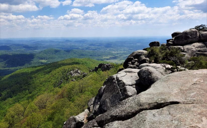
I made the journey to Shenandoah National Park in Virginia again last Spring, specifically to (finally!) hike the iconic Old Rag summit hike.
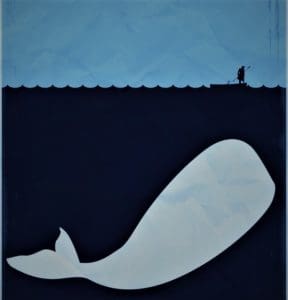
Until this year, Old Rag was my Moby Hike – the one that got away!
It was the hike that got away – my Moby Hike!
I’ve had plans to hike Old Rag for the past three years – but each attempt was thwarted by weather or logistics.
So I went back to try again – and I’m so glad I did!
It was a perfect-weather weekday in May before all of the families started their Summer vacations, so there were other hikers on the trail, but the place wasn’t over-run.
There’s a long rock scramble to the mountain’s summit that works better with some teamwork – especially if you’re a little bit vertically challenged, like I am 🙂
I conquered Old Rag, then I found a couple of other rock-scrambly hikes in Shenandoah that were a little less daunting to do the next day.
Read on to learn how you can hike Old Rag, and those other hikes too!
Or if you prefer video, take a look at the Shenandoah playlist on IRW YouTube.
The Mountains to Sea Trail (MST) runs through or very near areas of North Carolina that were hardest hit by Hurricane Helene.
The Falls Lake section of the MST is open, along with many other NC State Parks and trails in the Eastern part of the State. That said, Parks and the MST on the Western side of the State have been damaged and may be inaccessible.
Go to my Hurricane Helene page to get the latest updates on the latest area Park, Trail and road repairs before you travel.
Smoky Mountains get their name from the mist that settles in the valleys.
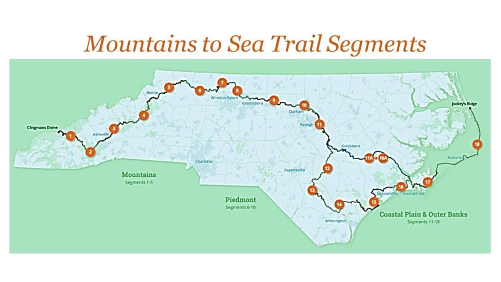
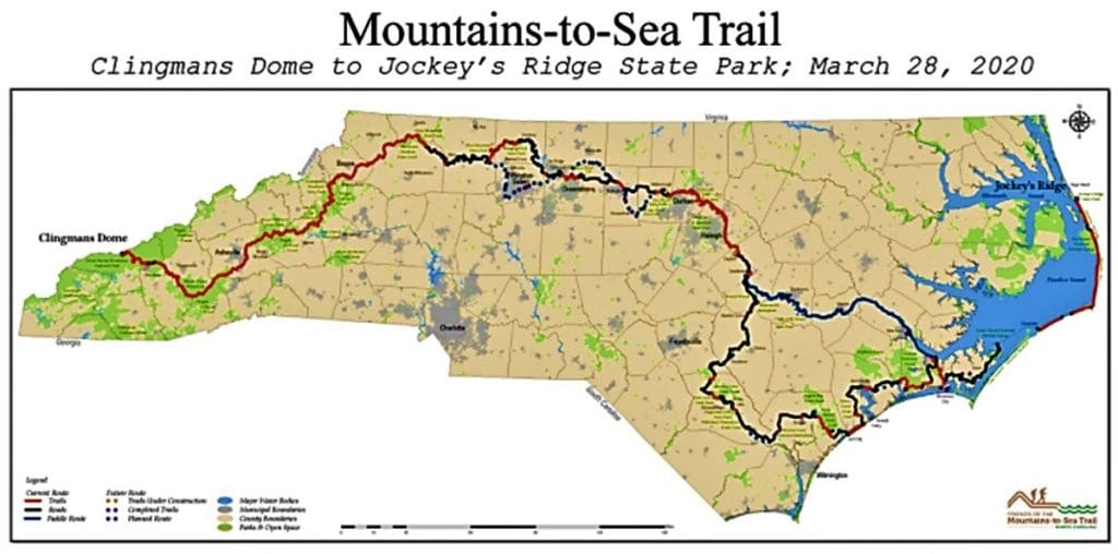
The Mountains-to-Sea-Trail (MST) is a simple hiking trail that spans almost 1200 miles across North Carolina, from the Great Smoky Mountains in the West to the Outer Banks on the East Coast.
Even though I’ve known about the MST for a good while, I didn’t really start hiking it on purpose until this past year.
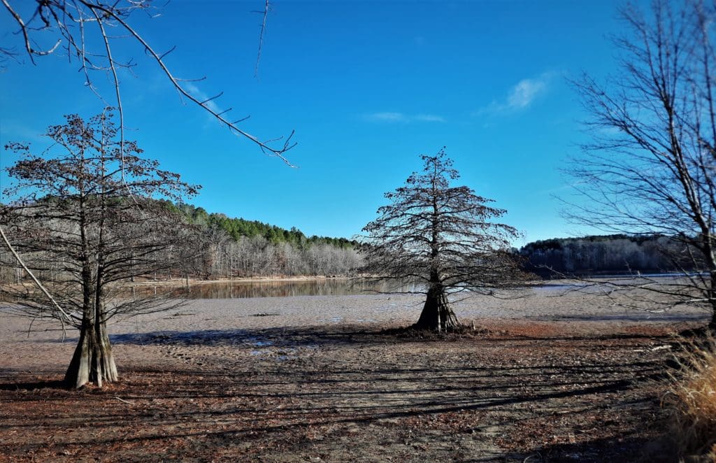
MST Day Hike #22 in Winter.
Lately more and more people have been moving to my local area, and the easy-to-get-to hiking trails have become really crowded – especially on the weekends.
So I’ve had to look a little bit farther away for new trails – and that’s how I started paying more attention to the MST.
As of January 2019, 669 miles of the trail were completed, and even more have been done since then.
The MST across North Carolina.
That’s just over half of the planned MST miles that are now completed in multiple segments across the state!
With temporary routes (for the unfinished parts of the MST) on backroads and bicycle paths, hikers can now follow the MST all the way across North Carolina.
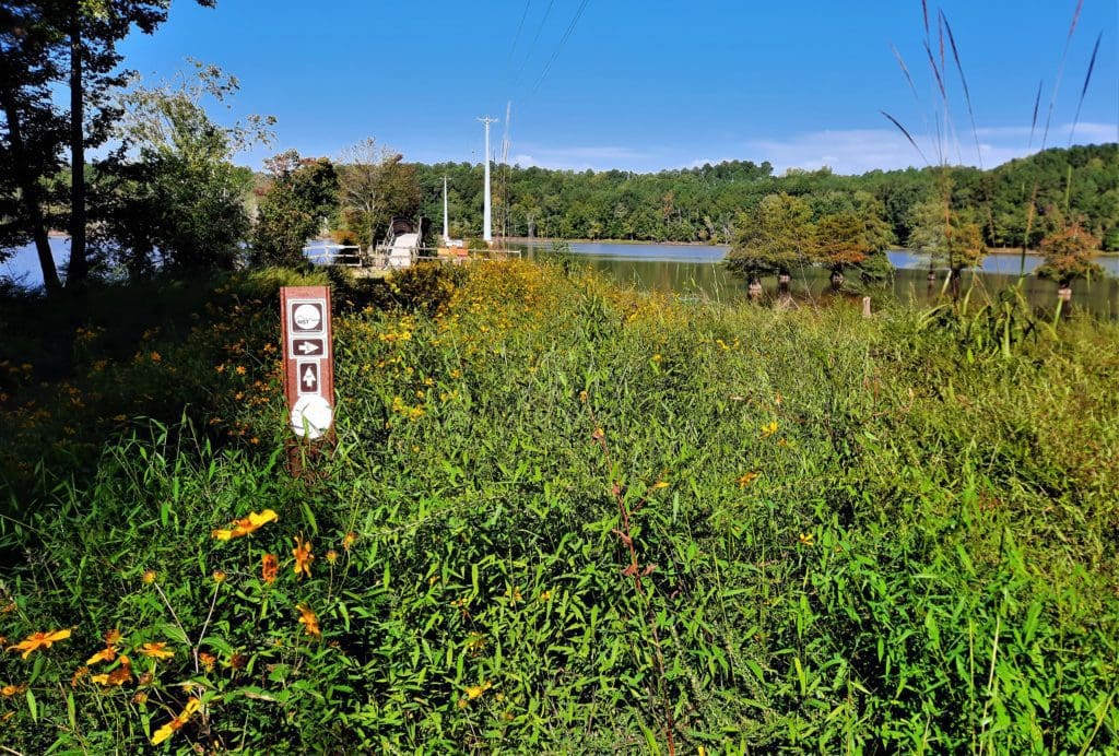
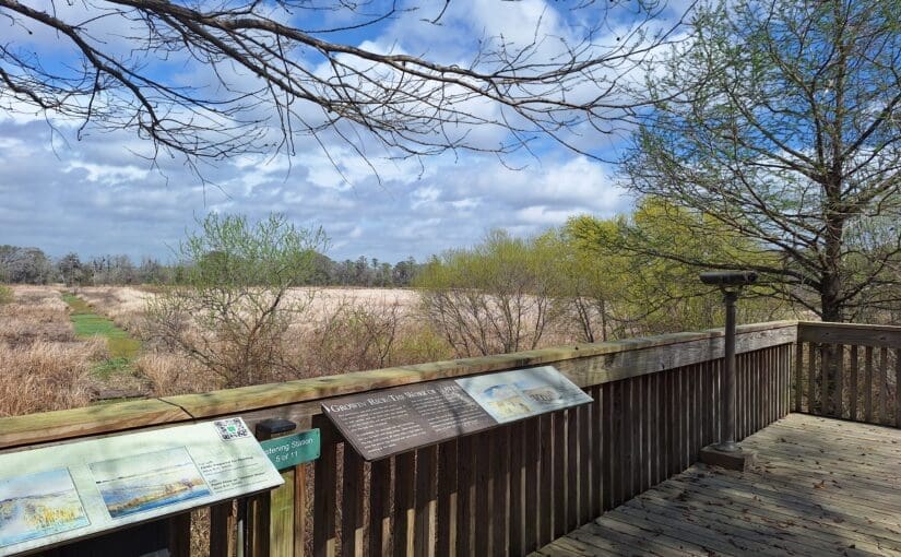
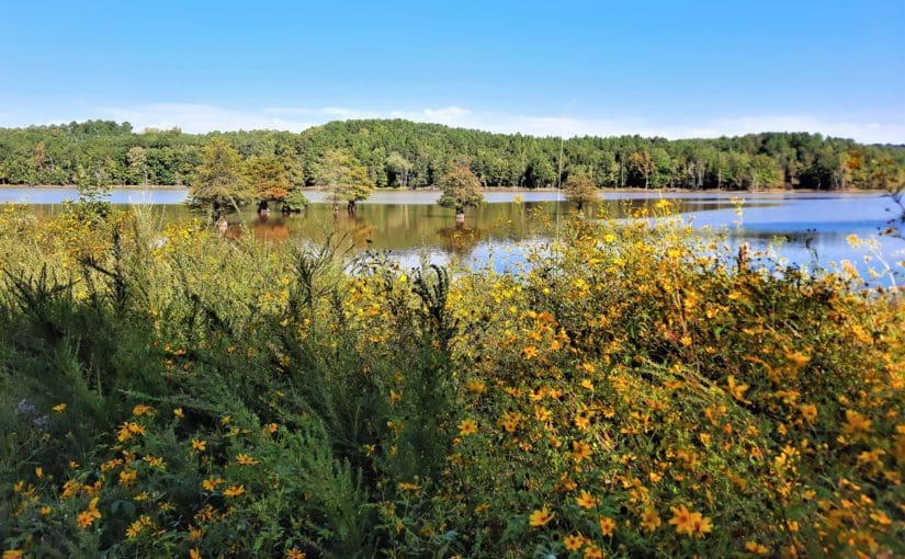
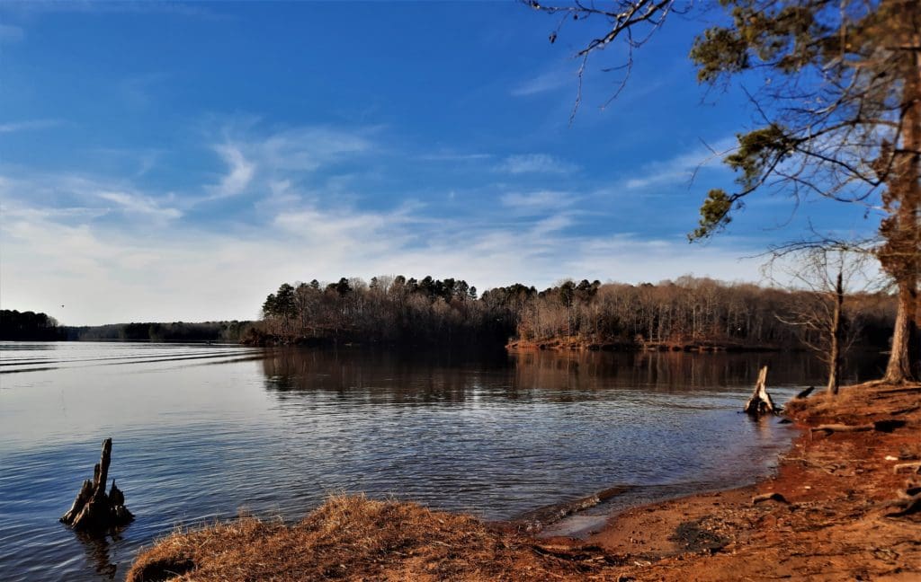
One of the longest finished segments goes ~60 miles along the Southern shore of Falls Lake, just to the North of Raleigh near Wake Forest.
View of Falls Lake from the trail.
Even 60 miles (out of 1200) is an epic hike to most of us – but never fear!
You can hike smaller sections of the MST to make it an overnight backpacking trip, a day trip, or even just a few hours on the trail.
Today, I’ll tell you about the MST, and how you can hike my favorite local MST section (so far): MST Day Hike #22 at Rolling View in Falls Lake Recreation Area.