Most recently updated January 18th, 2022
Estimated Reading Time: 12 minutes
Raven Rock State Park, a North Carolina state park, was a favorite destination when my daughter was in grade school.
Located near Lillington, North Carolina, it covers 4810 acres along the banks of the Cape Fear River.
We would go on our own, or with another single Mom friend who also had young kids, and make a day of it.
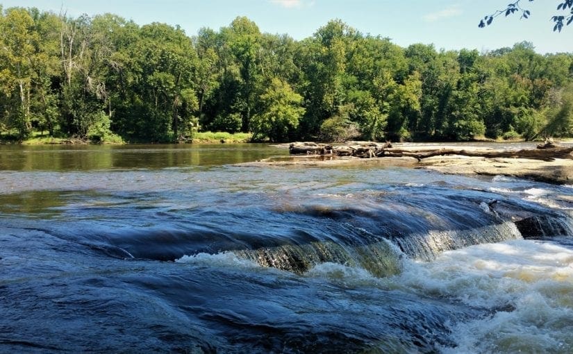
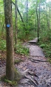
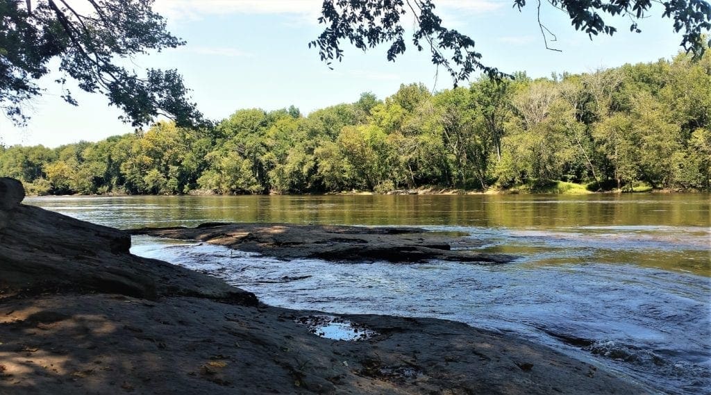
The kids loved the access to the Cape Fear River at the Fish Traps rapids, and scrambling on tree roots and rocks on the trail to the massive Raven Rock.
The trails were short enough that we hardly ever had to carry them back to the trailhead – a big plus, since neither of us were all that much bigger than the kids 🙂
I haven’t had much reason lately to make the 50-minute drive to Raven Rock, since my daughter (though still pretty short) has been out of grade school for much longer than a decade now – and I usually like longer trails.
I’d also lost touch with my friend, and though we’d comment on social media now and then, hadn’t really talked for at least ten years – no reason, just the kids got older and we had drifted apart.
Then, when I went to wish her a happy birthday, I found that she’d recently passed away.
So I decided to take a trip down to Raven Rock, walk the trails, and remember my friend.
Some things had changed, but the park is still a good place to go for a walk – with your kids or on your own. 🙂
Some of my posts contain affiliate links. If you make a purchase through an affiliate link, I will receive a small payment at no additional cost to you. As an Amazon Associate, and other marketing affiliations, I earn from qualifying purchases. See full Disclosure page here.
Note: As of September 14, all park facilities are open. COVID-19 Phase 2.5 mandates for face coverings and social distancing should be observed inside the Visitor’s Center.
Park History
Raven Rock State Park sits along the “fall zone” – an area where the hard, resistant rocks of the foothills give way to the softer rocks and sediments of the coastal plain.
The underlying rocks of the area were formed more than 400 million years ago by intense heat and pressure.
Through the ages, flowing waters and swirling winds gradually eroded the land, carving and sculpting Raven Rock.
The rock was originally found by an early settler named Gilbert Patterson who found refuge there when his canoe capsized nearby.
He’d sailed alone in his canoe to get to his new plantation, and on the way back crashed along the rocks in the Cape Fear River.
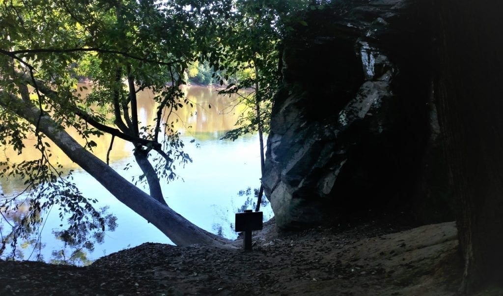
He was stranded for three days, and eventually dragged himself to a massive rock towering over him – which became known as Patterson Rock.
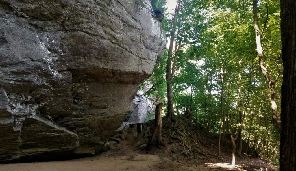
The immense rock rises to 150 feet tall and stretches for more than a mile along the Cape Fear River.
In 1854, its name was changed to Raven Rock, inspired by the ravens that used to roost on the rock’s ledges.
In 1965, interest grew in preserving the area as a state park, and local citizens organized support for the project.
Walter Johnson, a Goldsboro resident, described the beauty of Raven Rock in a letter to the Governor, along with his belief that it should be made a state park.
Simultaneously, local support for the acquisition of Raven Rock was being organized by Dr. Robert Soots, a Campbell College professor.
After hearing about the possibility of the land being sold to either a mining or paper company, Dr. Soots accelerated his efforts by presenting a proposal to the Harnett County Board of Commissioners, recommending that Raven Rock be preserved as a state park.
Establishing the State Park
The Board supported the proposal, and on October 28, 1968, Dr. Soots appeared before the State Parks Committee to present the Raven Rock proposal again.
The project was unanimously endorsed, and the Division of State Parks was directed to initiate a feasibility study.
In 1969, following months of hard work, the passage and adoption of North Carolina Senate Bill 495 established Raven Rock and 3000 surrounding acres near Lillington as a State Park.
Next, the Bill was referred to the committee on Conservation and Development, who gave it unanimous support and sent the Bill to the Committee on Appropriations.
The required land was in eight separately owned tracts on the south side of the river, and ten on the north side.
The first parcel of land was purchased and the deed was submitted to the Governor on March 23, 1970, during a celebration ceremony held in Raleigh.
This was the first tract of land purchased with State funds to establish a State Park since 1915.
Additional tracts have been donated and purchased since then, bringing the park to its present size of 4694 acres.

Lillington History
Lillington is located near the geographic center of Harnett County, NC.
The town was originally called Harnett Court House, but was re-named for John Alexander Lillington in 1874.
A post office called “Lillington” has also been in operation since 1874.
John Alexander Lillington (c. 1725–1786), was a Patriot officer from North Carolina in the American Revolutionary War, notably fighting in the Battle of Moore’s Creek Bridge in 1776 and serving as brigadier general in the state militia.
Park Trails
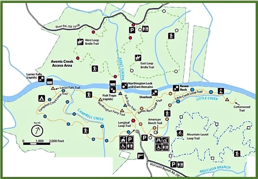
Raven Rock offers a variety of trails for all ages and abilities. You can travel them on foot, on mountain bike, or on horseback.
Hiking Trails
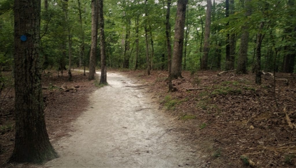
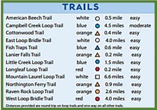
There are more than 12 miles of hiking trails at the park for hikers of all fitness levels – though, there are no “strenuous” or “difficult” rated hikes in the park.
In fact, there’s only one “moderate” rated hike, the Campbell Creek Trail, and at 4.5 miles, it’s also by far the longest hiking trail in the park.
The rest of the hiking trails are much shorter and rated as “easy”. This is part of what makes this park so great for kids!
The majority of the hiking trails are short enough for even smaller kids, and most of them have great destinations and features along the way.
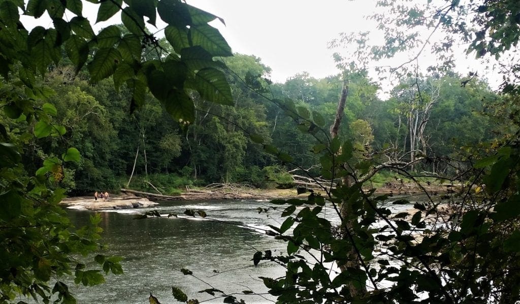
The river itself is a great draw, and there are two sets of rapids in the Cape Fear River inside the park.
You can see the Fish Traps Rapids (class 1) on the Fish Traps trail, and Lanier Falls Rapids (class 2) on the Lanier Falls trail off of the Campbell Creek Loop.
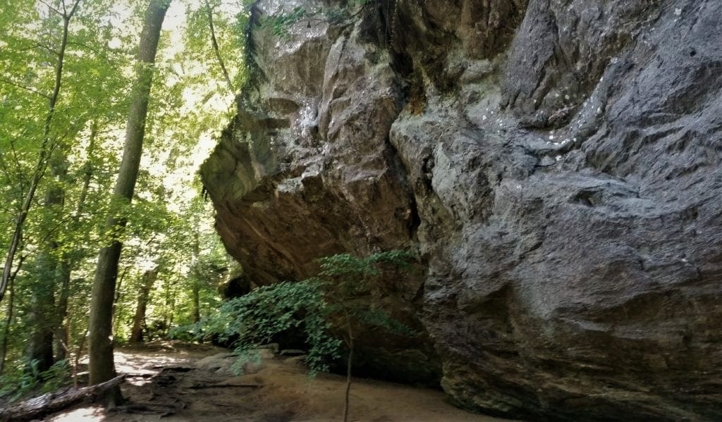
Of course, the biggest draw and most distinctive feature is Raven Rock itself.
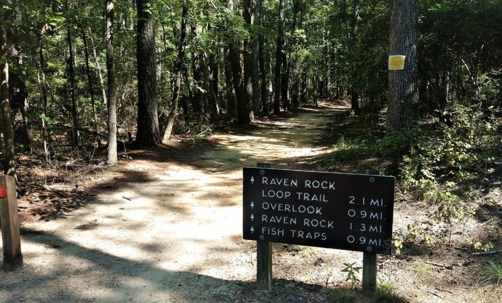
Raven Rock Loop Trail
The Raven Rock Loop trail is one of my favorites – and was my daughter’s favorite when she was little.
The Raven Rock Loop splits off in two directions, for a combined 2.6 mile loop.
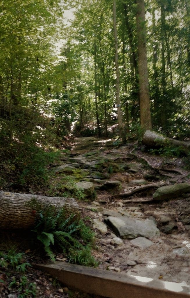
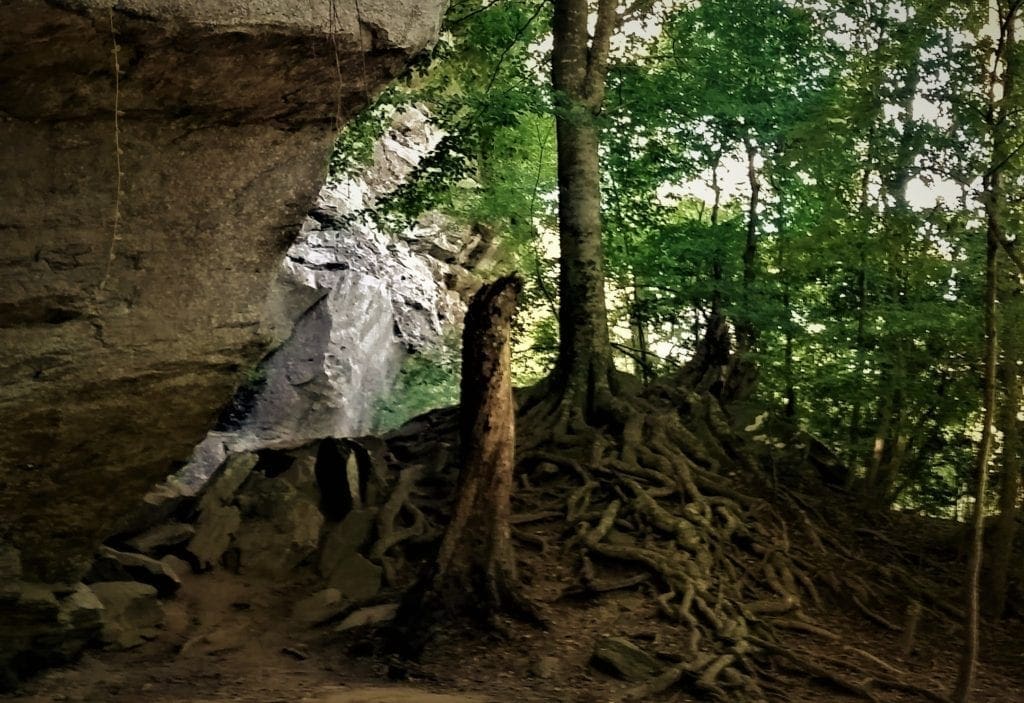
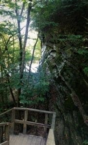
You can trek down the 136 stairs to Raven Rock, a 150-foot high and one mile long rock formation with the Cape Fear River at its base.
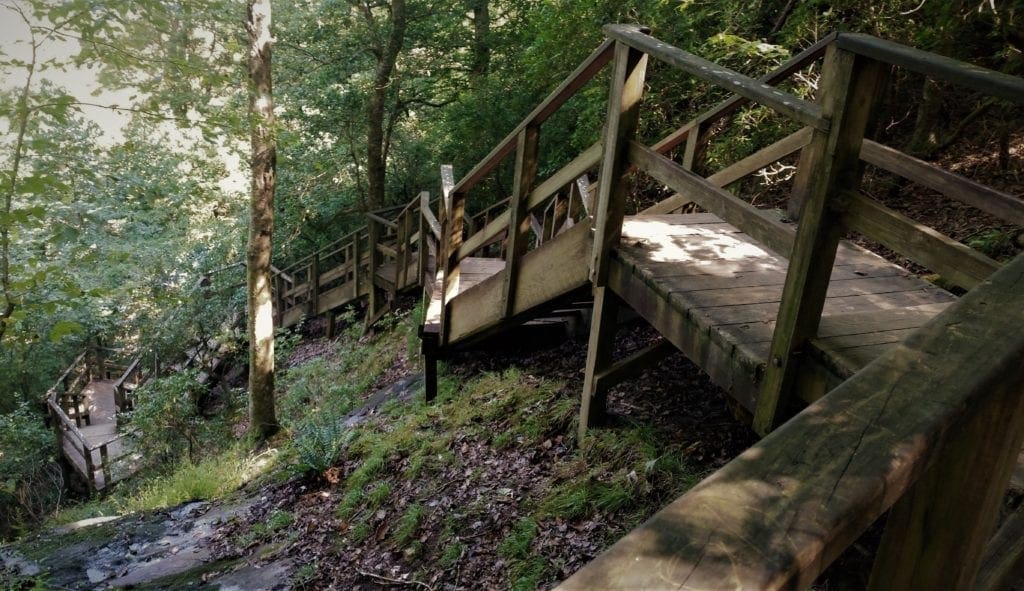
The rock is a favorite place for kids to explore, and climb on tree roots and the rock itself.
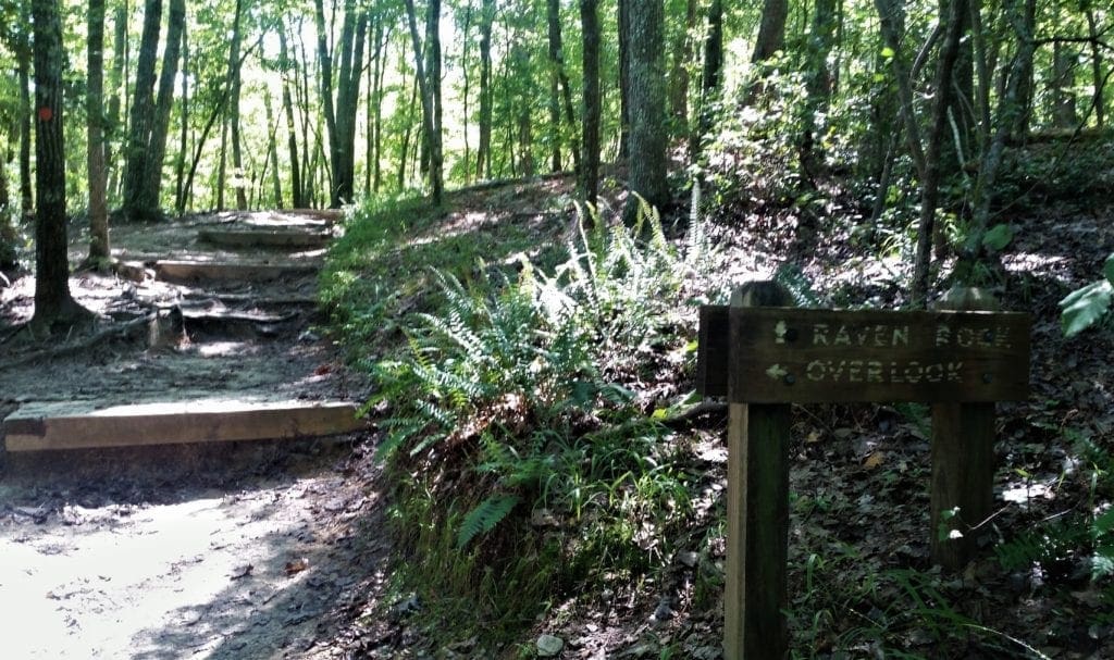
The other side of the trail loop leads to the Overlook, a small man-made stone structure high above the Cape Fear River.
It gives a clear view of both the river and the undeveloped woodlands.
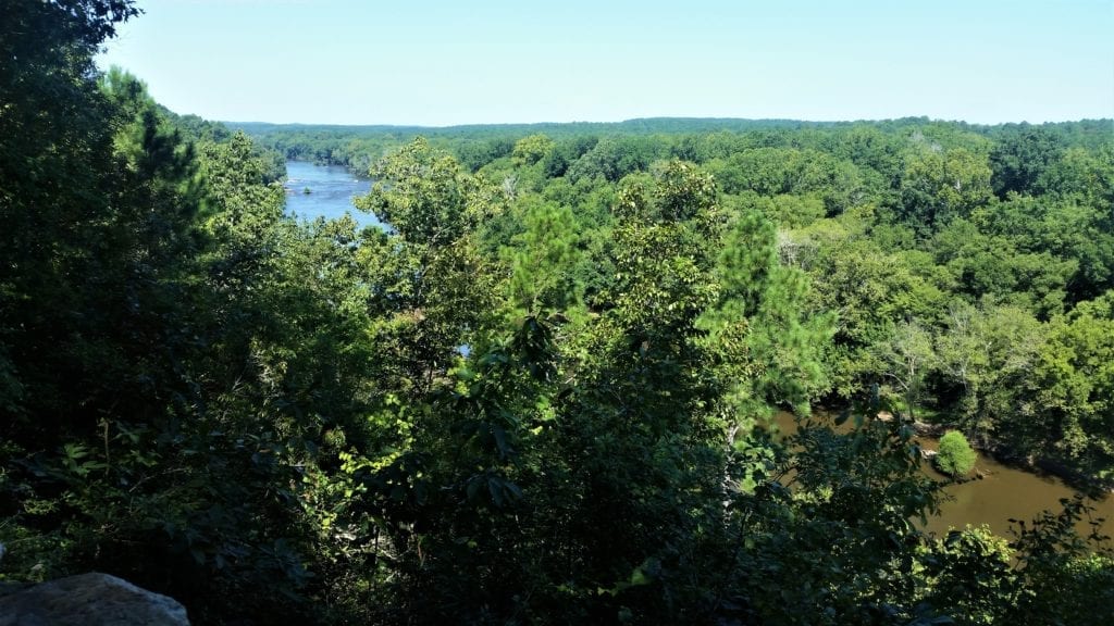
Keep in mind, you’ve got to climb back up those stairs again on your way back 🙂
Fish Traps Trail
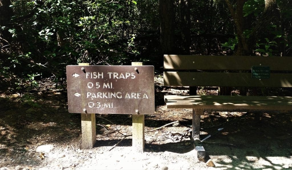
The Fish Traps Trail is a very short trail, only .6 miles one way.
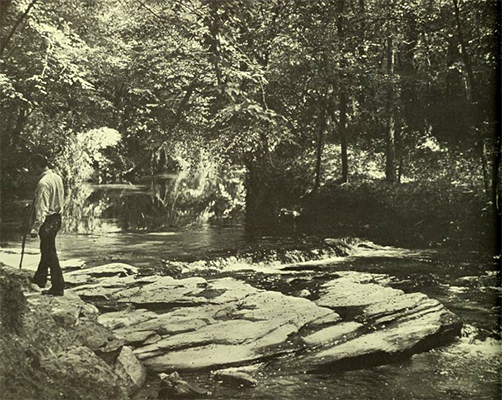
It takes you down to the river’s edge, where you can play on some rocks – but swimming is not allowed.
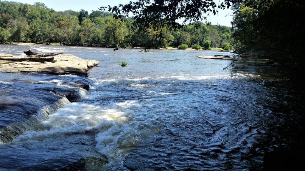
There are some beautiful rapids here, and you can see the remnants of the old lock and dam.
There are some big steps up and it gets a little steep on the way back, so be prepared to give your little ones some extra help!
Campbell Creek Loop Trail
At 4.5 miles, the Campbell Creek Loop Trail is the longest hiker-only trail in the park (the bridle trails and bike trail are the only longer trails.)
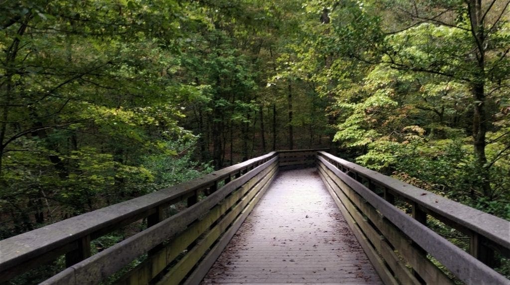
This trail starts just to the left of the Visitor’s Center, and shortly after you cross the creek the first time you can choose which direction to hike the loop.
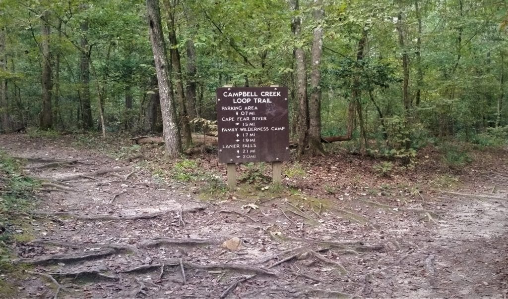
The trail’s got a little bit of elevation gain, so that and the length are what give it a moderate rating.
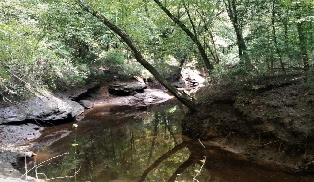
This is a lovely hike along Campbell Creek for much of the way, with soft white sand underfoot and shaded by the hardwood forest.
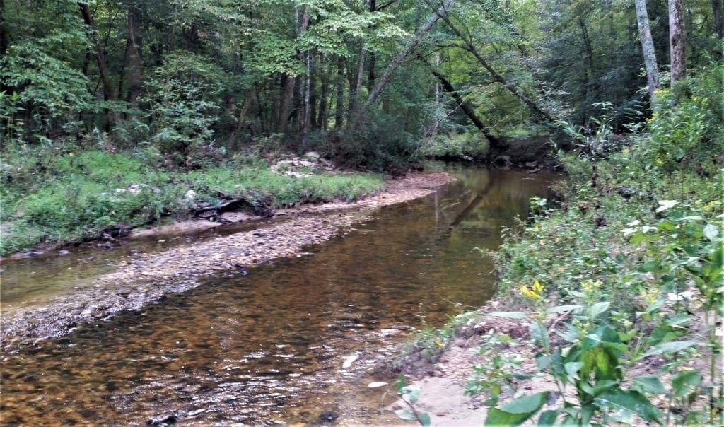
The Lanier Falls trail (very short) branches off from this one.
You can get a view, but the trail stops before you get to the river’s edge – and social trails that continue down are very steep and muddy, so hike at your own risk!
Allow 2-3 hours for this trail if you’re a slower hiker or have small children. You can do it in 1.5 hours if you have a faster pace.
The Northington Ferry Trail
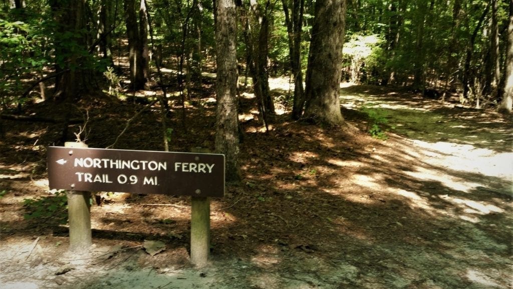
Northington Ferry Trail – an easy .9 mile one way – is accessed from the Raven Rock Trail. It’s a nice addition if you’re looking to add some length to your Raven Rock hike.
The trail is named after the Northingtons, a prominent family that owned and lived on the park land long ago.
Locks and dams were built along the river to facilitate navigation by boat, and Raven Rock became an important landmark for river pilots.
A road that stretched from Raleigh to Fayetteville crossed the Cape Fear River via the Northington Ferry and served as the area’s major transportation route.
After a hurricane destroyed the locks and dams in 1859, the structures were not replaced because railroads had eliminated the need for river travel.
The remnants of the Northington lock and dam can still be seen in the park, from the Fish Traps Trail.
Early Park Settlers
The Siouan and Tuscarora Indians hunted the Raven Rock area until European settlers arrived in the mid-1700s.

After the war of 1711–1713 (known as the Tuscarora War) against English colonists and their Indian allies, most of the surviving Tuscarora left North Carolina and migrated north to Pennsylvania and New York.
The first European settlers were primarily hunters and trappers who were searching for high country similar to their native country, Scotland.
Later, families like the Northingtons built stores, mills and quarries. Many of the woodlands were farmed, and as the forests returned, much of the land was harvested for timber.
The Northingtons operated a general store, a river ferry system, and the lock and dam located at Fish Traps.
Northington Family History
Jesse Northington was born July 10, 1761 in Surrey County, Virginia.
The name Northington was pronounced and frequently spelled “Norrington” in the early days in the Colonies.
The Virginia family was probably an offshoot of an English family called “Norwenton”.
Around 1774, shortly after Jesse’s mother died (around 1770) and his father had remarried, the family left Virginia and migrated to North Carolina.
They settled in Cumberland County, in the part that became Harnett County, in 1855.
Jesse, as well as his father and his brothers, bought quite a large portion of the land along the Cape Fear River.
At one point, the family owned about 6000 acres a few miles west of the present-day town of Lillington. Much of what was their land is now inside the Raven Rock State Park.
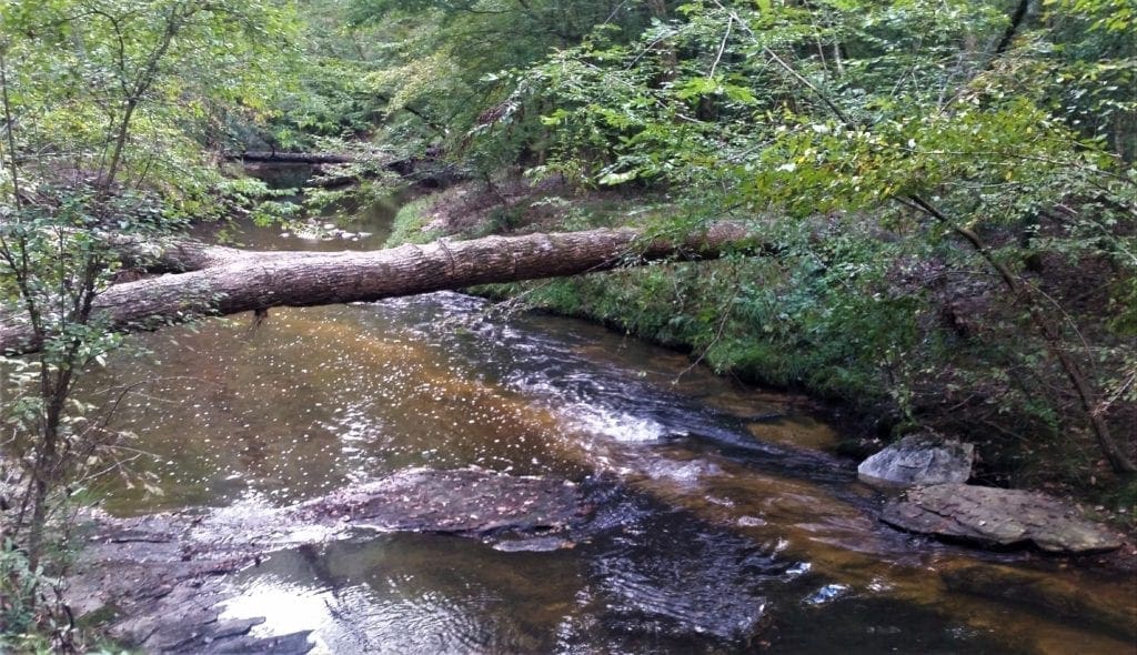
Jesse’s portion was mainly along Campbell Creek, and between Campbell Creek and Cedar Creek. (The present-day “Campbell Creek Loop Trail” is located on this land.)
The family established the Northington Ferry, at the mouth of Campbell Creek, as well as the Northington Lock & Dam, which was a way to cross the river.
Like his father, Jesse also owned a store on his plantation, as well as a mill.
Jesse, his brother Samuel, and their father Samuel Sr., fought in the Revolutionary War as part of the Wilmington Militia.
Around 1785, Jesse married Anne Pope, and they had at least nine children: Levi, Allen, Anne, James, Jesse Jr., Christaney, William, Martha, and Phyllis.

Jesse wrote his will on May 26, 1825, and died two years later.
He was buried on his plantation, on land now contained within Raven Rock State Park. His restored headstone can be seen in the woods, just off the walking trail.
Riding Trails
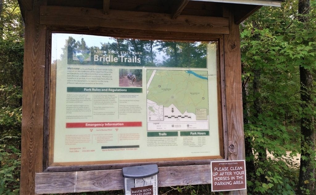
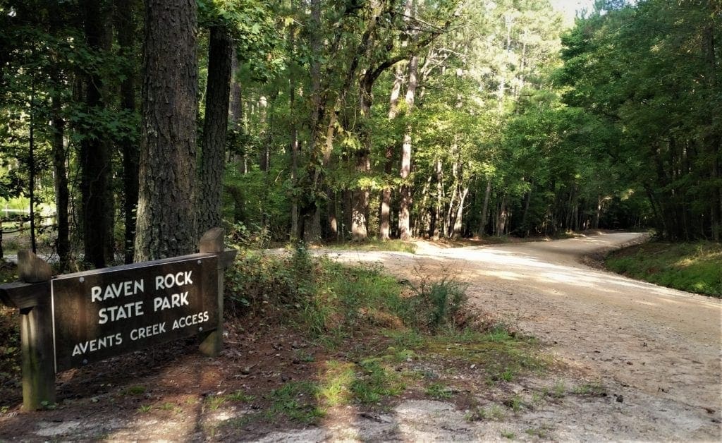
Raven Rock State Park has 8 miles of beautiful bridle trails, on the north side of the Cape Fear River, that you can hike or ride. Bridle trail parking is at the Avents Ferry park access.
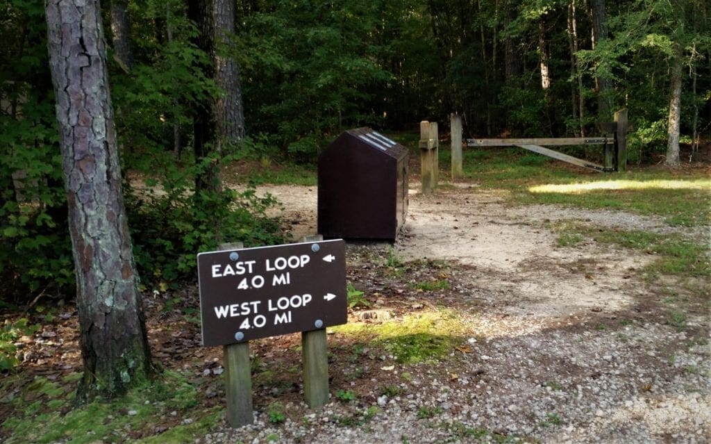
There are two loop trails, with Avent Creek running through the West Loop Bridle Trail. Each trail is around 4 miles in length and you can combine them for an 8 mile hike or ride.
I went to hike the bridle trails on a different day, and arrived early in the morning.
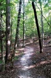
The trails were very flat, and soft with mainly sand and pine needles underfoot.
There were a couple of creek crossings, but no real features – so good for a nice trail ride, but not a very exciting hike 🙂
NOTE: A vault toilet and picnic tables are available at the trailhead parking lot.
Biking Trail
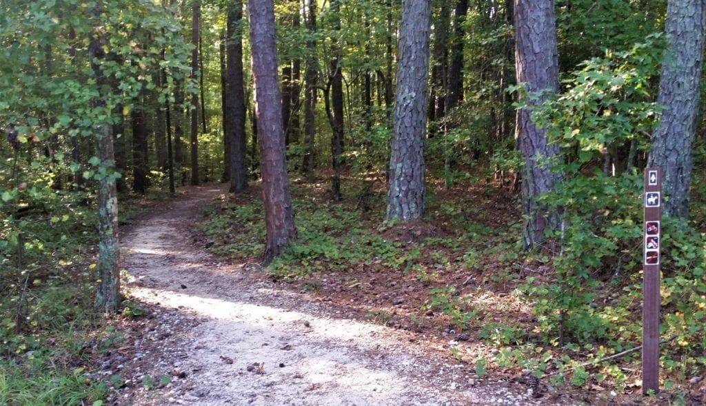
The Mountain Laurel Loop Trail, blazed with white squares, is open to both bikers and hikers.
The 6.6 mile natural surface trail runs through a hardwood/pine forest, and was designed using sustainable alignment to avoid erosion.
NOTE: In the case of inclement weather, the trails will be closed to all users to prevent trail damage.
You can visit the Park’s website trails page, or call the park at 910-893-4888 before you visit.
Other Park Activities
In addition to all of the trails, the park offers a Visitor Center, picnic area, places for fishing and canoeing, and camp grounds.
Visitor Center
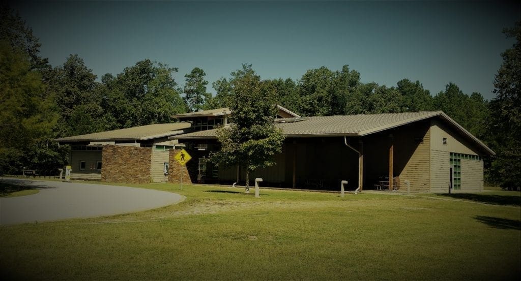
The park’s LEED-certified visitor center has classrooms, an interactive exhibit hall, amphitheater space, and a Native American projectile point display.
The Visitor Center also has free park maps, clean restrooms and staff who are happy to help you with any questions you may have.
The Center also has items for sale like water, Gatorade, snacks, t-shirts and hands, and souvenirs.
Picnic Shelter
The Picnic Shelter is located at the far end of the first parking lot, has 8 tables and will accommodate up to 50 people.
Electricity, water and restroom facilities are nearby.
Boating
The Cape Fear River runs through the middle of the park and can be accessed only by hiking trails. (There is no boat launch in the park.)
Camping
There are a number of camp sites available at Raven Rock; canoe-in, hike-in and group sites are all available. All of the Park’s sites are primitive camping sites; all supplies – including water – must be packed in to the sites.
Fishing
Fishing is permitted during posted park hours only. Game fish in the Park include largemouth bass, warmouth, bluegill, catfish and more.
Anglers must have a State fishing license.
Park Info
 Educational Programs
Hike with one of the Park staff as they introduce you to the plants an wildlife in Raven Rock State Park, and learn a little bit of its great history too.
For upcoming events, keep an eye out on the Park’s calendar.
Junior Ranger Program
Raven Rock State Park participates in training Junior Rangers so that they can teach their families and friends about the rules of the Park and how to take care of it.
Volunteer Opportunities
Raven Rock offers a variety of volunteer positions, from working with park grounds to assisting with events. Contact a the park at 910-893-4888 for more info. (Volunteers must be 18+ years of age or accompanied by a parent/guardian).
Location
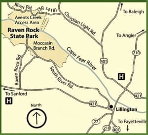
Raven Rock State Park is located on the Cape Fear River near Lillington, about an hour’s drive South from Raleigh.
Park Addresses
Visitor center –
3009 Raven Rock Road
Lillington, NC 27546
Moccasin Branch access –
778 Moccasin Branch Road
Lillington, NC 27546
Avents Ferry Access –
1580 River Road
Fuquay-Varina, NC 27526
Park Hours
Raven Rock State Park opens at 7am each day, and closes at either 9pm or 10pm depending on the season. Visitors Center hours are 8am-5pm each day.
I hope you and your kids will get out and have a great day outdoors at Raven Rock State Park!
For more ideas on where to take your kids in the Raleigh area , check out my Get Kids Outdoors page.
If you have any questions drop me an email and I’ll reply as soon as I can.
Thanks for stopping by – see you next time! LJ
To Get New Idratherwalk Posts
sent directly to your inbox (how convenient!) Click this Button
If you enjoyed this post, please share it:


LJ has spent much of her free time as a single Mom – and now as an empty-nester – hiking in the US and around the world. She shares lessons learned from adventures both local and in exotic locations, and tips on how to be active with asthma, plus travel, gear, and hike planning advice for parents hiking with kids and beginners of all ages. Read more on the About page.

