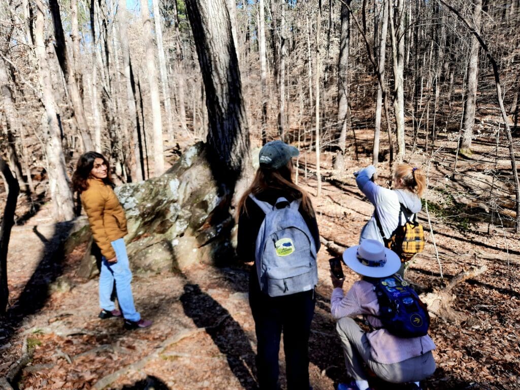
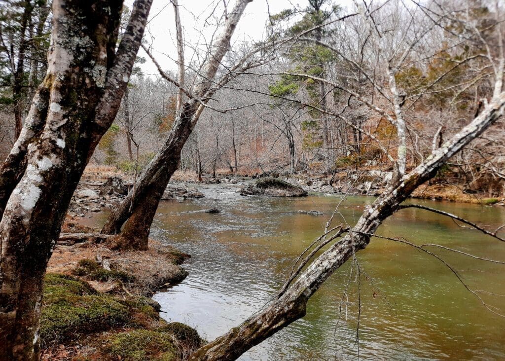
Thursday was a home workout and then a short 3 mile hike in the sunshine with That Man and the puppy at Blue Jay Point County Park.
The prettiest puppy at The Point in Blue Jay County Park.
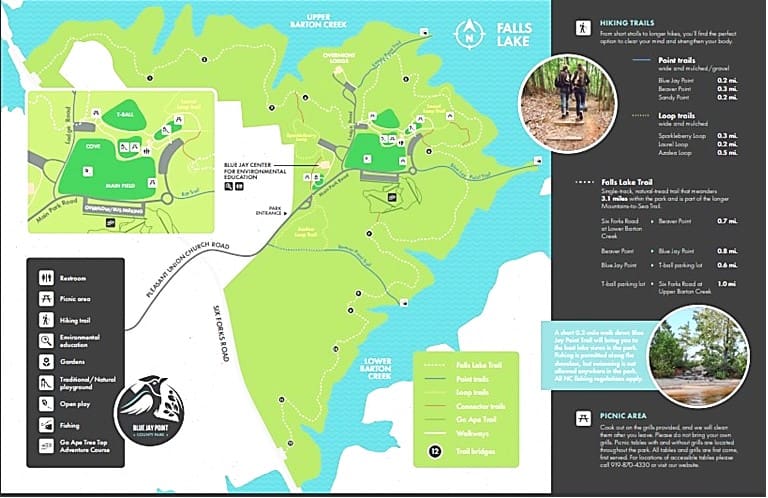
About Blue Jay County Park
Blue Jay Point County Park is a 236-acre park located in the northern part of Wake County.
There are five miles of trails inside the park boundaries. (For a trail map, see pages 3–4 of Blue Jay Point’s Park Brochure .)
The Azalea Loop Trail is an interpretive experience. At the trail head, you can pick up a seasonal Interpretive Guide that corresponds with 18 numbered posts along the half-mile trail.
Hikers seeking longer trails opportunities will find that Blue Jay’s Section VI of the Falls Lake Trail connects with North Carolina’s Mountains to Sea Trail, thus extending the hiking opportunities well beyond the boundaries of Blue Jay Point – Falls Lake Trail Map and Falls Lake Trail sections .
We hiked just a few miles on the MST before sunset made us call it a night.
Brochure map of Blue Jay County Park trails.
Friday I was back at Eno State Park, leading a 12 mile hike on the MST. It’s the longest hike I’ve led so far this year.
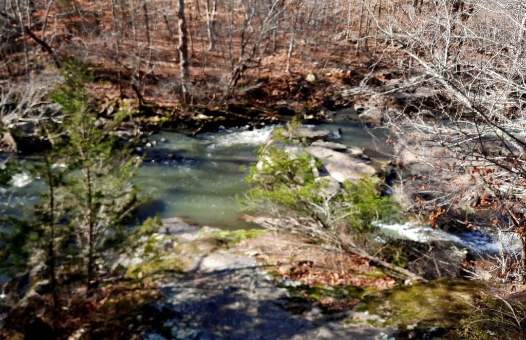
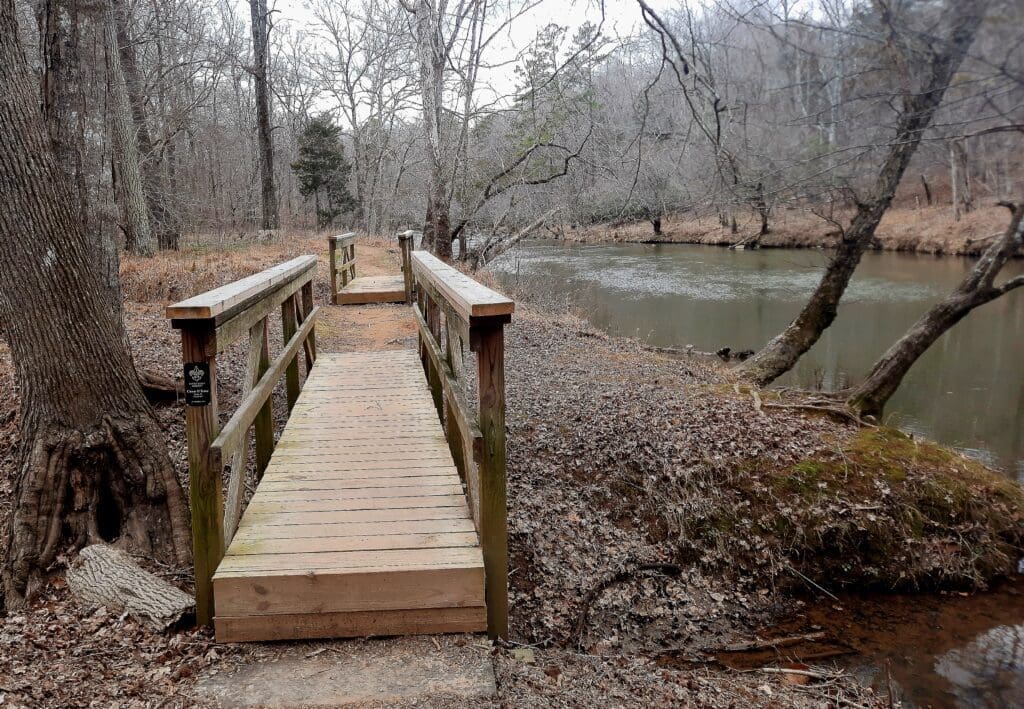
The Eno River from the Cabelands Trail.
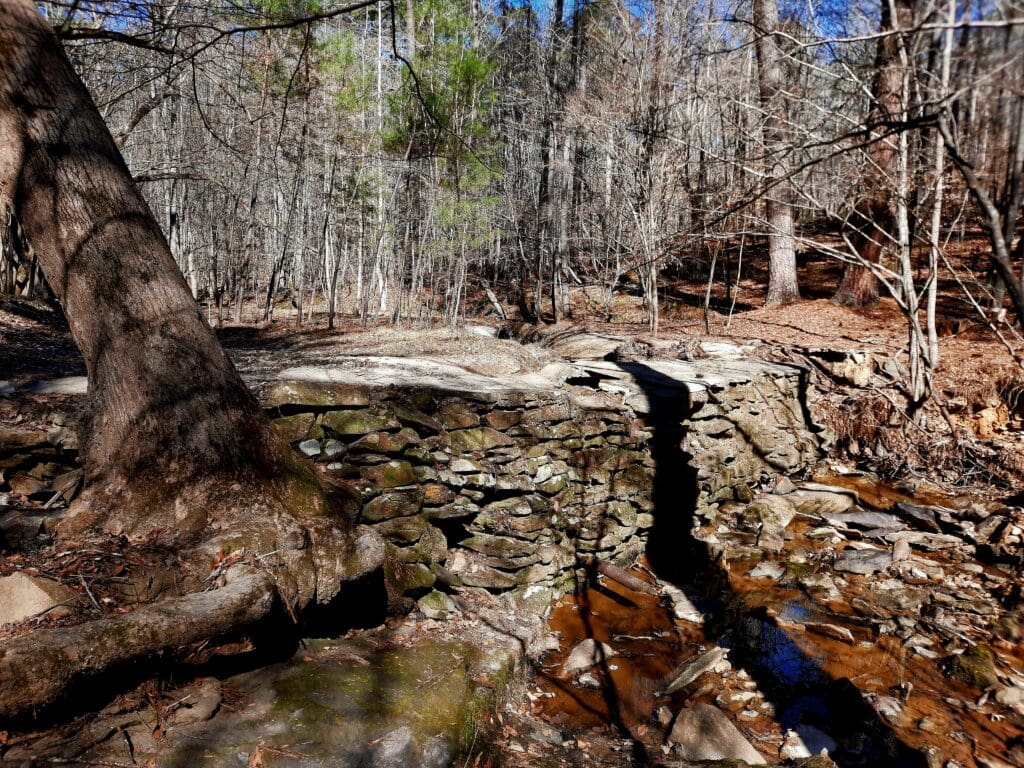
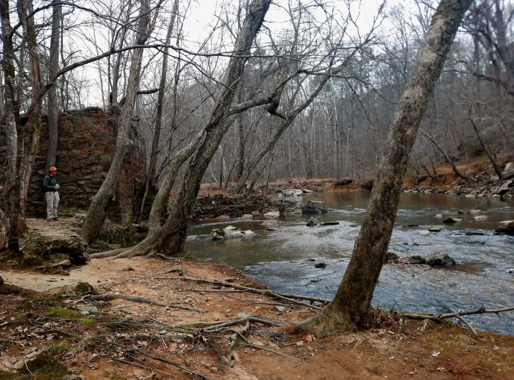
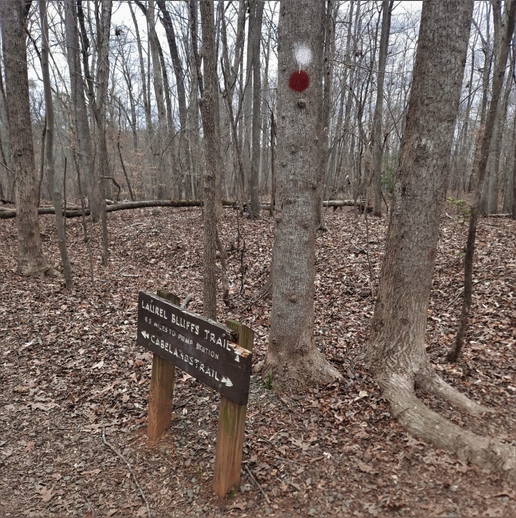
The route went from the Pleasant Green trailhead along the Laurel Bluffs trail, the Quarry Trail and to our resting spot and halfway point at the Pump Station ruins.
Play
The Pump Station used to provide water for the whole area until Falls Lake and Jordan Lake were created.
It was a great group, including someone who had never hiked that far before!
Saturday was meant to be a “rest” day, but didn’t quite turn out that way.
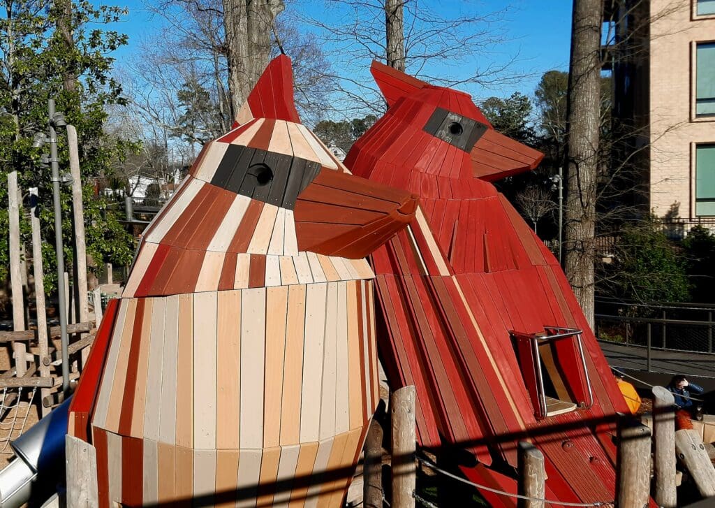
I did my yoga/Pilates routine, and took a quick 3 mile hike in the morning to DTC Park before the rain, thinking that would be it.
DTC Bird play structures.
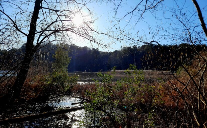
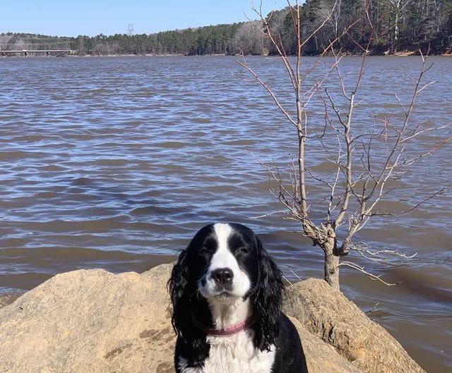
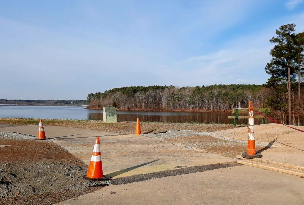
But later, the rain hadn’t materialized so we had time for another 3 miles in the woods at Falls Lake with That Man and our puppy friend.
And that’s a wrap for Week 5! 🙂
Next week, the weather forecast is….probably mostly wrong again!
But, no matter what, we know that:
You may have noticed that my hikes this week (the ones I was leading) were all pretty long.
Next week, hikes will be longer and I’ll also be adding more weight to my pack on the short ones.
Are you Ready????
View of the Eno from the Pump Station ruins
I hope you’ve found my Training Log ramblings to be helpful- or at least amusing! 🙂 To see more of them go to my Training Log.
– – Training Week 5 started with another nice day, but I decided to give my hiking boots a break and do kickboxing and upper body weights in my home gym.
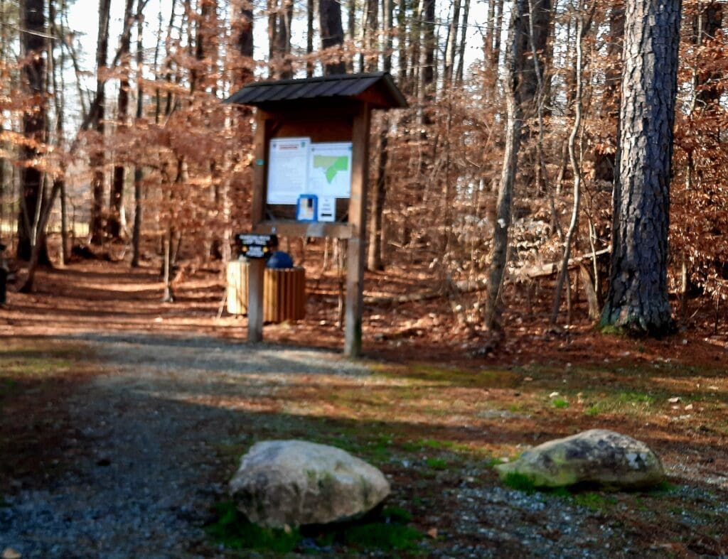
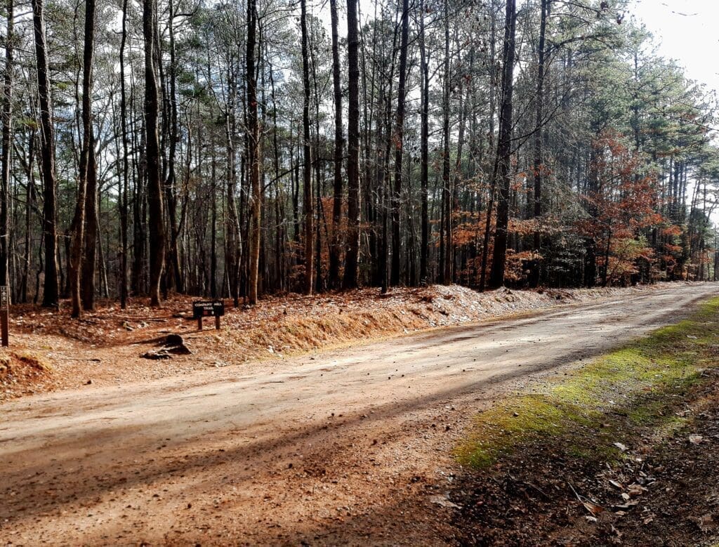
Trailhead at Rock Nut Hollow near Duke Forest.
Tuesday temps were going to be well above freezing and the sun came out again just in time for a short 5 mile hike at Rock Nut Hollow near Duke Forest.
Lenore led the hike with a great group of hikers!
View from the rock scramble.
It’s a scenic and fun route along the creek with a very steep (but mercifully short) hike up a “mountain” with a nice rock scramble on the return route.
Play
I hiked with 10 lbs of extra weight in my pack, and we went at a moderate pace.
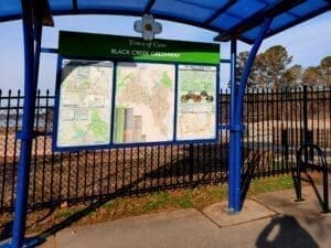
Kiosk on the Black Creek Greenway at Lake Crabtree.
Wednesday, still trying to avoid mud, I scheduled a hike at Lake Crabtree where half of the trail is on paved greenway.
The sun came out and it was a beautiful hike!
The natural trails were closed due to mud, but we went far enough to see the eagle’s nest at the pond across Aviation Parkway before turning back.
Some parts of the Black Creek Greenway are still closed due to construction.
In spite of ongoing construction on the Black Creek Greenway, Silvia and I were able to get some time on natural sections of the blue-blazed Lake Trail on the way back, and finished at about 6-6.5 miles.
Play
I carried 15 extra lbs on this hike, and I could really feel it in my legs afterwards!
In case you’re feeling proud of yourself (and you should!), I designed some Awesome T-Shirts to commemorate your training:
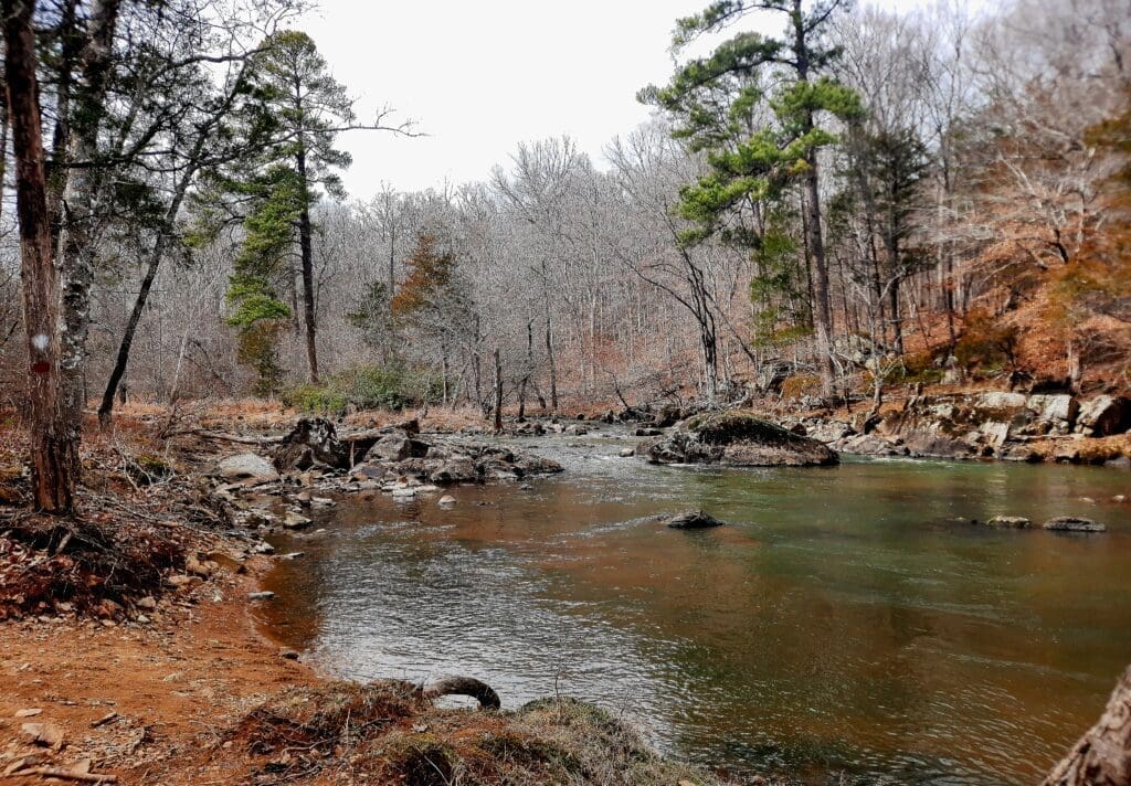
Thursday this week was the last day forecast to NOT have rain, so I took advantage to do some exploratory hiking at Eno River State Park.
View of the Eno River from the Cabelands Trail.
It was my “rest day” for the week, so I just did some yoga stretches before heading out, and the hike itself was only a few miles and not very fast.
Exploratory hiking is never a sure thing – it’s more about the discovery than the miles!
This time I started from the Cabelands trailhead on the Eno River.
Play
Who were the Cabes?
The area is called “Cabe Lands” because Barnaby Cabe and his family were settled there in the years prior to the American Revolution.
After America won her independance, the Cabes were patriots and loyal citizens, even representing Orange County in Congress and serving in the militia.
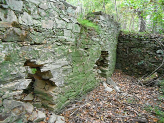
Remains of the Cabe Mill on the Eno River.
John Cabe built a grist mill on the Eno and owned many acres in the “Cabelands” area.
He eventually had 9 daughters (with three wives) and many of his daughters married other mill owners along the Eno River.
Portrait of the owners of Cole Mill, Anothy(sic) Cole and Susan Browning Cole. ca. 1875.
One of the daughters, Rachel, married John McCown and together they built what was to become known as Cole Mill – which is another major trailhead access further downriver in Eno River State Park.
In the hard times after the defeat of Culloden in 1746, family groups – even whole villages – left Scotland for America.
The shipping lists of 1776 show the McColes landing at Wilmington, NC – but we have no evidence that these early Coles ever made their way this far inland, though many other families did.
The Eno River from the Cabelands Trail.
Levi Cole, an older brother of Anthony Cole, said to have travelled from the English town of Leeds, appears to have been the earliest Cole in the Eno Valley.
After her first husband died, Rachel married Colonel Sims and together they owned and operated West Point Mill at Roxboro Road.
This mill is still in operation for demonstration purposes, and is the centerpiece for the West Point on the Eno park.
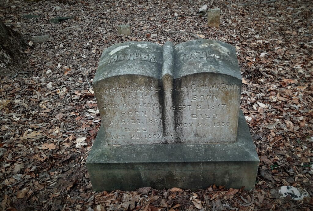
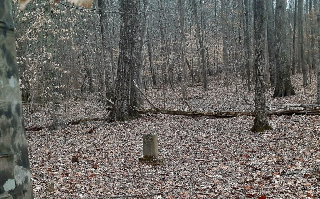
Grave markers of Elizabeth Arnold McCowan and John Cabe McCowen in the Cabe Cemetery.
In my explorations, I was looking specifically for an old cabin from the 1770’s and also the Cabe Cemetery.
But also in the area are the remnants of the Cabe Mill.
Following the Cabelands Trail from the official trailhead, blazed in red, the map shows a left-hand trail-split, marked by two red blazes.
I followed the red blazes for the Cabelands Trail.
The Cabelands Trail continues downhill to the Eno River – and this is the way I went.
Turning downriver, I followed the trail until just before the two wooden footbridges.
Off to the right through the trees, I could see the well-preserved stone foundations for the old mill.
Two footbridges beside the river cross the old mill race from the Cabe Mill.
I tromped around a bit, but couldn’t find a passable way to the mill ruins, so I continued on along the Cabelands trail beside the river.
Play
Back on the trail, I followed the trail up toward the bluffs, now looking for the old cabin and the cemetery.
As I followed the marked trail uphill, and noticed a long flat area of land overlooking the lowlands below.
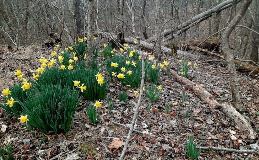
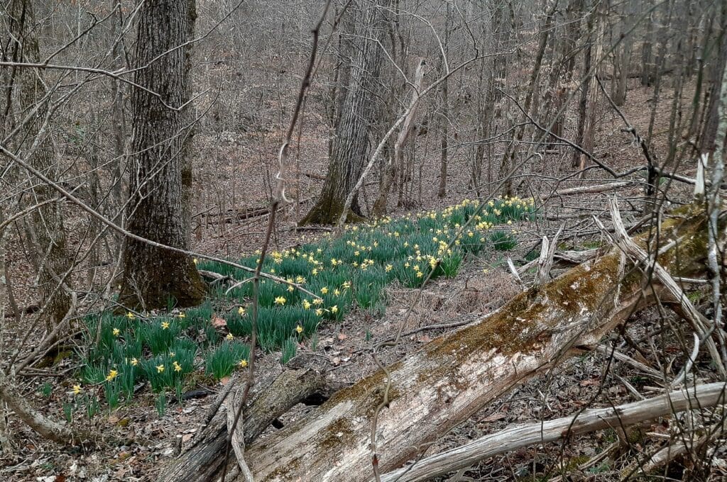
Daffodils cover the hillside where the old homestead used to be.
It turns out this was the site of the old John Cabe homestead, but nothing remains of the cabin.
Instead, only a field of daffodils appear in the Spring to mark the spot where Cabe’s daughters grew up playing in the yard.
Play
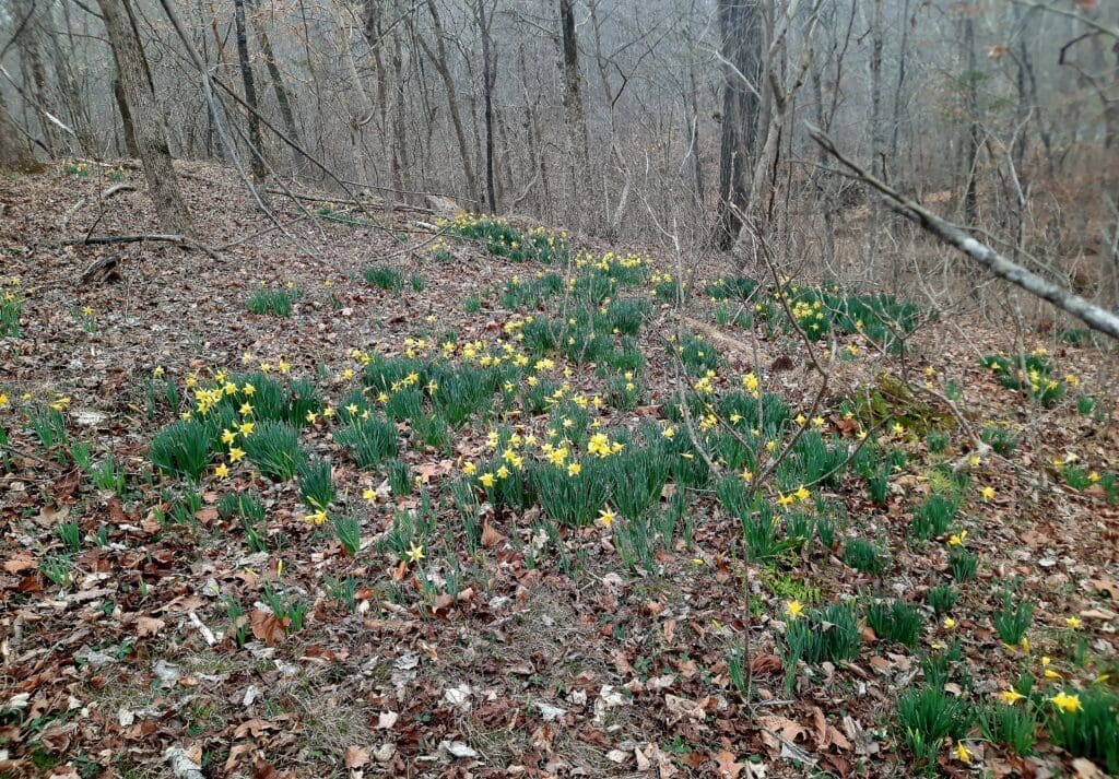
I (reluctantly) left the daffodil-covered hillside and went in search of the Cabe Cemetery.
The daffodils are everywhere!
I was just about to give up, when I saw what looked like an unmarked trail to the right of the “official” path.
Play
I followed that path straight to an area dotted with old headstones, some illegible and in disrepair, but some easy to read even after all of the years in the forest.
Marker in the Cabe Cemetery.
Friday I led an 8-mile hike that combined the Company Mill and part of the Sycamore Trail in Umstead State Park.
MUT intersection with the Company Mill Trail.
I only carried 5 lbs extra on this hike, and went for speed – rain was forecast to start again at noon, and some of us had meetings to get to as well.
We ended up going about 4 mph!
Play
Saturday the weather was pretty good all day, but I was waiting for some contractors at my house (which is another story!) so I had to settle for kickboxing and weights in my home gym.
Sunday I had posted an 8-10 mile hike, but it was forecast for 95% chance of cold rain (about 40 degrees) and 15-20mph gusting winds for the whole hike.
That really didn’t sound like much fun.
So I rescheduled the hike for next week, and spent a good long time hiking uphill indoors on my treadmill wearing 10lbs extra in a pack.
I hiked 3 miles with 1500ft elev gain in 45 mins, then another 2 miles in 35 mins descending 2162 ft. I’ll be ready for Mt Olympus in no time! 🙂
Next week, the weather forecast is much more normal.
Whatever that means around here…. But, no matter what, we know that:
Are you ready????
TAKEAWAY LESSON: The weather can have a big impact on your workout plans! Have a bad weather workout plan, check trail conditions before you head out, and don’t be afraid to wait for better conditions!
I hope you’ve found my Training Log ramblings to be helpful- or at least amusing! 🙂 To see more of them go to my Training Log.