Estimated Reading Time: 7 minutes
Week 9 Training is a bonus!
Mostly because when we last left our training in Week 8, I was trying to work myself back from total lameness.
And, actually, that’s going pretty well. 🙂
But, to save myself from myself, I didn’t post my usual weekend hikes on my Meetup.
Well, actually, it was to save myself from my regular hikers, who have grown to expect high-paced longer hikes from me – and I just can’t NOT do that when I’m with them!
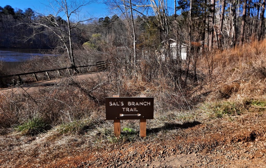
So, instead on Saturday I did some yoga, and then joined my friend Douglas for a shorter more moderately-paced hike on the Sal’s Branch Trail in Umstead State Park.
Sunday was a rainy day so I did the kickboxing (minus hi-impact) and upper body weights again.
Escape to the Beach
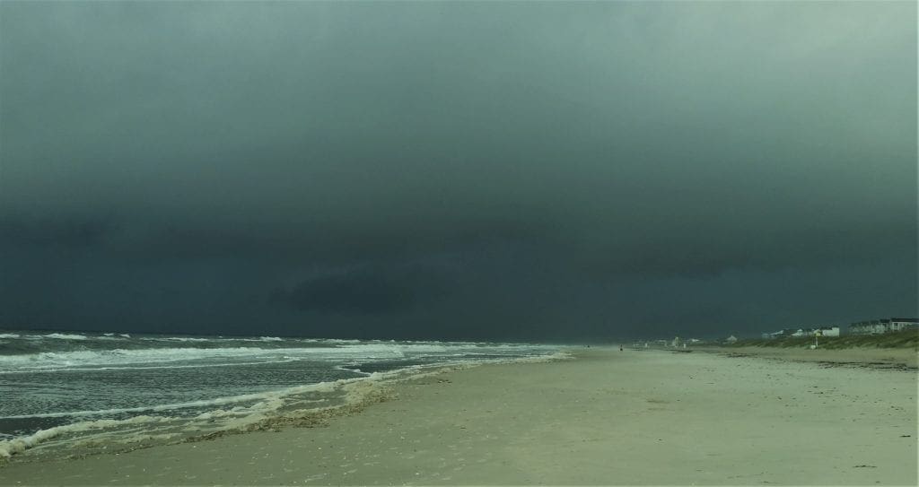
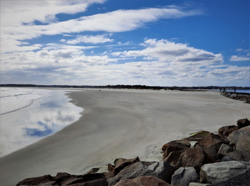
In an effort to do something fun, use some expiring hotel points – and still avoid hurting myself – I decided to take myself down the Coast to Myrtle Beach for a few days.
I like the beach in the Winter, when it’s less crowded and you can walk the beach for miles without suffering heat stroke 😉
This isn’t my first mid-Winter escape to the beach.
Last February (when it was raining like Noah was still afloat) I drove all the way to St. Augustine, FL then made my way back up with stops at Hilton Head, and a lovely weekend visit at St Simon’s Island.
In this part of the world, there are many beaches to choose from – and lots of hiking and walking opportunities at each one.
I’ve written about a few of them:
-
- Hiking Cannon’s Point Preserve on St Simon’s Island.
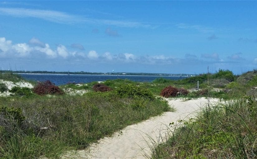
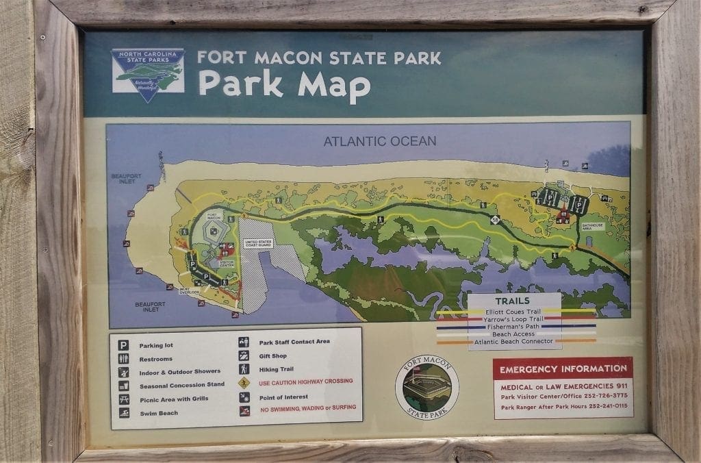
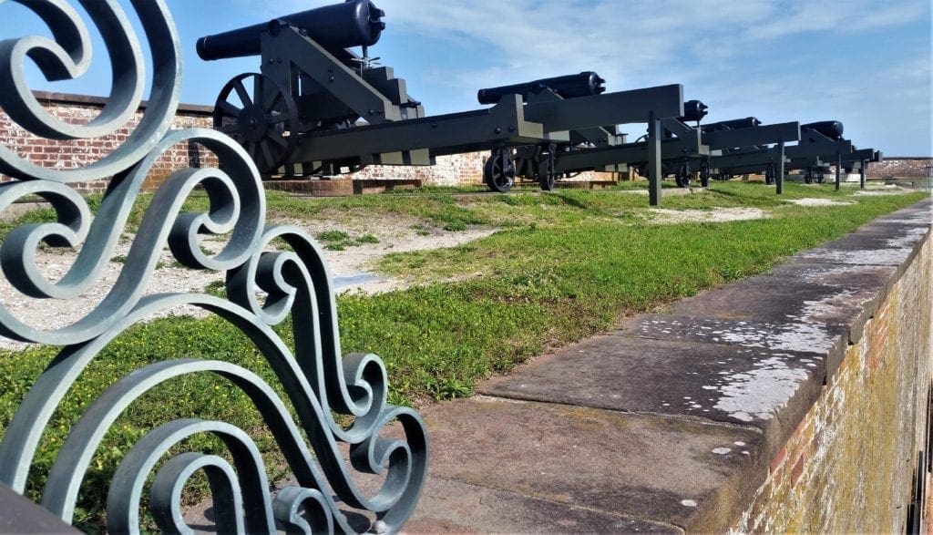
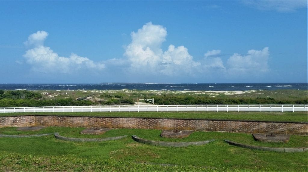
- Hiking the beach at Fort Macon State Park.
- Hiking the longest trail at First Landing State Park.
I’m sure I’ll also get around to writing something about walking and hiking around Myrtle Beach soon, too 🙂
Monday I did some more kickboxing and weights, then loaded the car and hit the road!
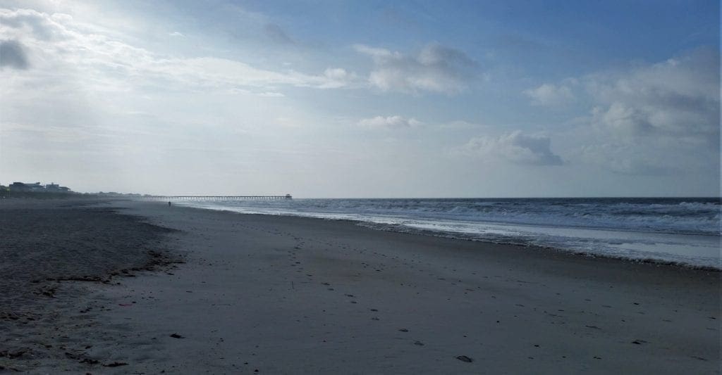
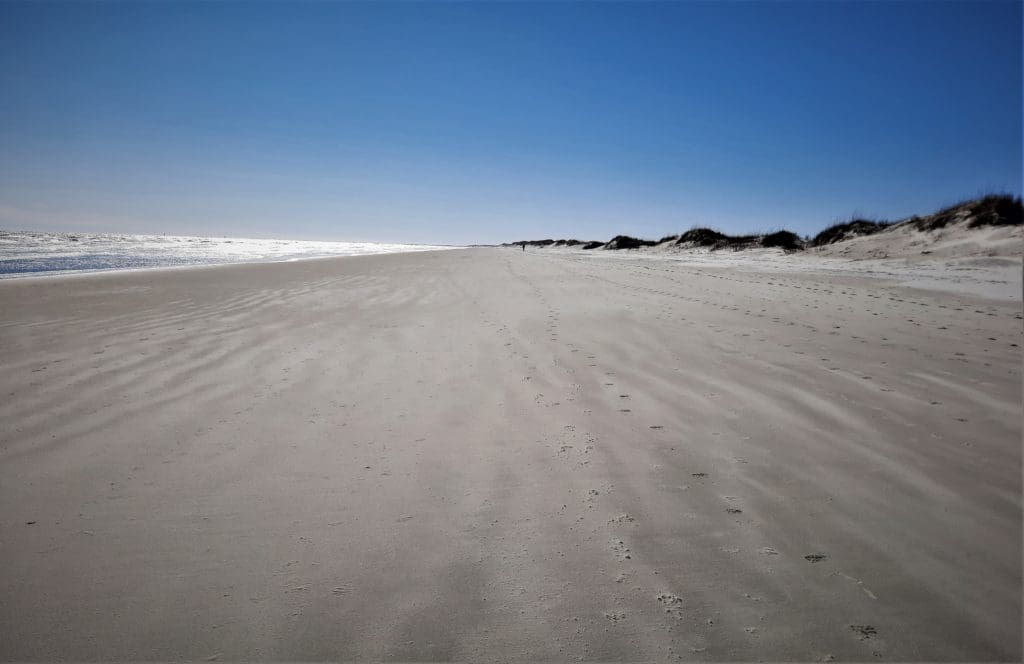
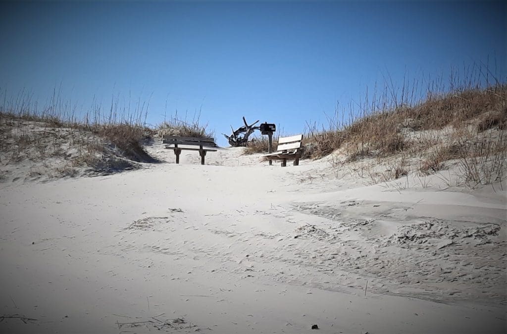
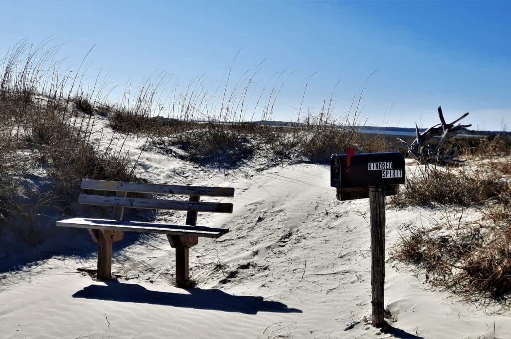
On the way down the coast, I stopped at Bird Island on Sunset Beach, home of the famous Kindred Spirit Mailbox.
At about 2.25 miles down the beach from the 39th Street public access, I did find the mailbox.
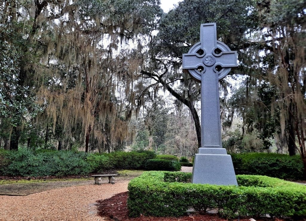
I also found a Memorial to one of the mailbox founders, and a couple of benches.
What’s the Kindred Spirit Mailbox?
For over 35 years, a small black mailbox printed with the words “Kindred Spirit” has stood in the dunes on the shore of Bird Island, an uninhabited island at the west end of Sunset Beach, NC.
The Mailbox first appeared in 1981 on a small sandspit near Tubbs Inlet between Sunset Beach and Ocean Isle.
For a many years, visitors had to wade across Mad Inlet to Bird Island at low tide to reach the mailbox, but since then several large hurricanes changed the location of the box and the island’s surrounding waterways.
Most stories say the mailbox was first put up after the Kindred Spirit saw a mirage of a mailbox on the shore during low tide.
This vision inspired them to plant a mailbox, with a communal notebook inside, so visitors could leave a message.
The mailbox caught on quickly, and many visitors used the mailbox to express their hopes and thoughts, even saving the island with their handwritten pleas.
Once a prime target for resort development, Bird Island is now a Nature Preserve operated by the State.
The original placement of the mailbox was done by Claudia Sailor -the Kindred Spirit – a woman from Hope Mills, NC.
She maintained the mailbox in secret along with Frank Nesmith (the mailbox co-founder) since its inception.
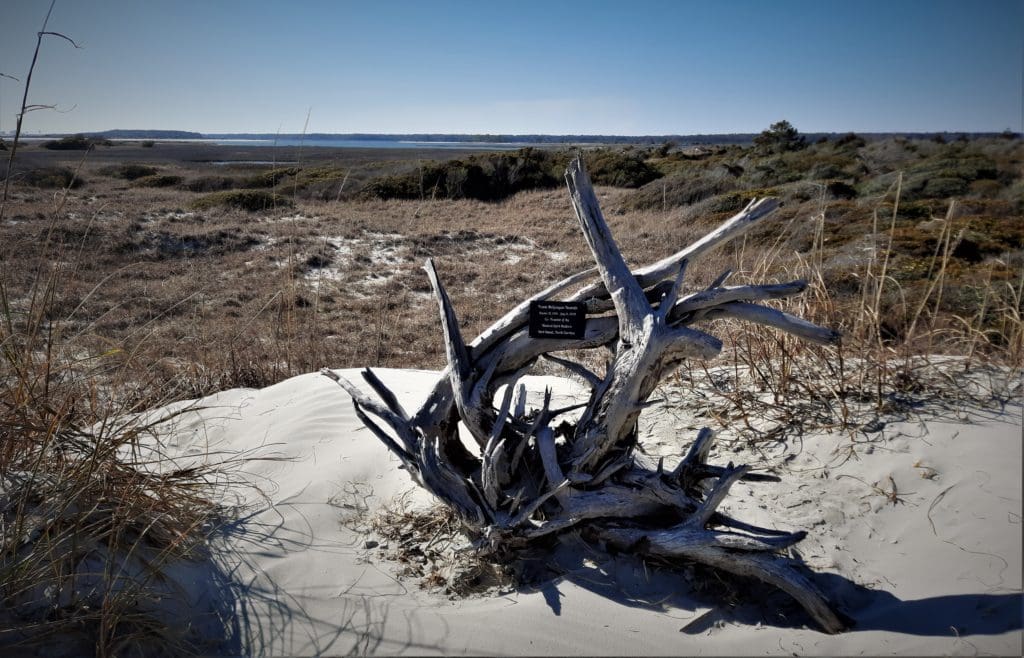
Sailor passed away in 2013, so local author Jacqueline DeGroot recruited a team of volunteers to help watch over the landmark.
Nesmith preserved Claudia’s life work by having the notebooks (over 30 years worth) accepted into UNCW’s William Madison Randall Library.
The collection now numbers over 500 journals, and is still growing! Each summer DeGroot brings the handwritten notes, prayers, and letters to UNCW to add to the collection.
Along with the messages that saved Bird Island, many of the personal thoughts and hopes left in the mailbox are now published on the Kindred Spirit’s website.
After a quick sit-down for some water (and nuts and berries) I continued the rest of the way down to the Point.
I didn’t write a note for the mailbox – THIS is my message!
It was only another .25 miles or so – then I turned around and made my way back to my car (for a total of ~5 miles beach hiking) and got to my lodgings just ahead of sundown.
Tuesday was supposed to be a cloudy, cold day, so I hadn’t planned any big excursions.
Luckily for me, it turned out to be another beautiful warmish sunny day!!
Bonus Good-Weather Day!!!
So after some yoga and breakfast, I hit the road again, this time to visit Lewis Ocean Bay Heritage Preserve.
Rumor had it (okay, it was Alltrails) that there was a 4 mile hike there that would be different than the beach.
Well, rumor – and Alltrails – had it wrong.
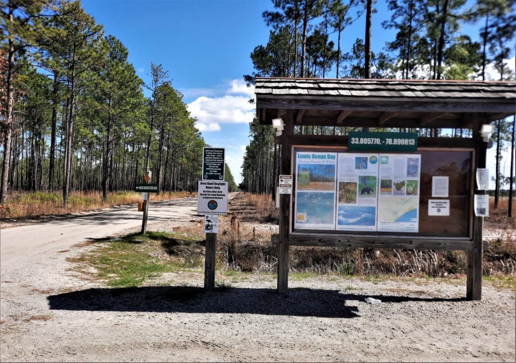
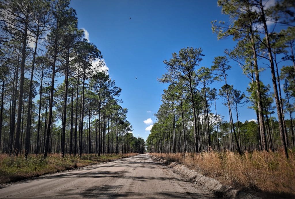
I showed up and went inside the park gate, and the road was just a simple dirt track cut out of the forest.
I kept driving to see if there was a Visitor’s Center or something, maybe some trailhead signs.
Nope. Finally after a few miles, I saw a white pickup parked along the road, so I pulled up and rolled down my window to talk to the folks inside.
The two young women (and their dogs) said that the place was basically a hunting preserve, and that you could walk the fire-breaks, but they’d just done that and found some bear scat.
Hmmmm. There HAD been a sign that said all visitors were required to wear Blaze Orange during deer hunting season…
But it was the bear scat that was the deal-breaker. I decided to head for Huntington Beach State Park instead.
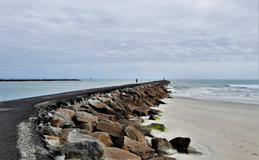
I first visited the Park on my last trip to the area about 6 months ago, so I already had a general idea of the layout.
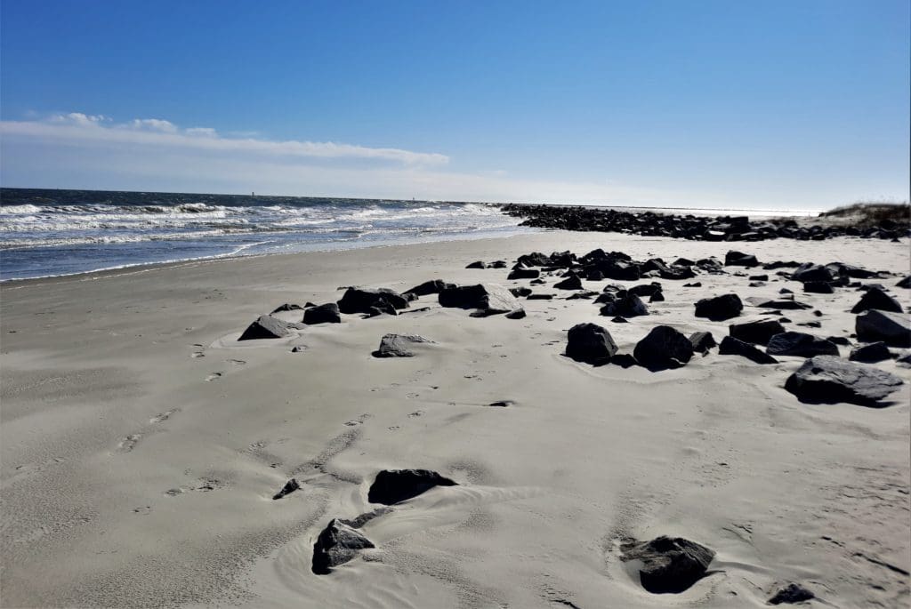
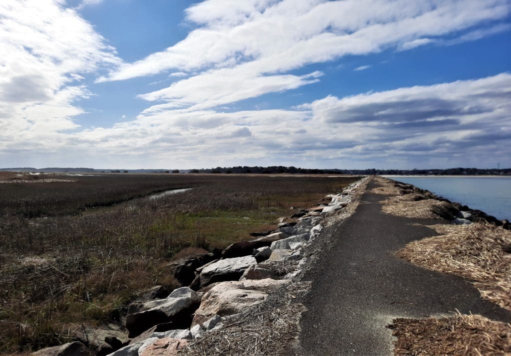
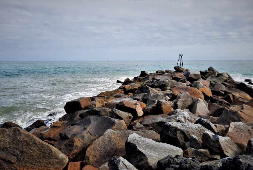
This time, I specifically wanted to do the hike to the Jetty, which is usually frequented more by Birders, but at ~ 6miles it’s also one of the longer available hikes in the area.
With all of the screwing around with the driving and not-hiking at the Preserve place, it was almost 2pm by the time I reached Huntington.
I was concerned I wouldn’t have time to finish the Jetty hike before they closed at 6pm – but I did it, and it was sooo worth it!
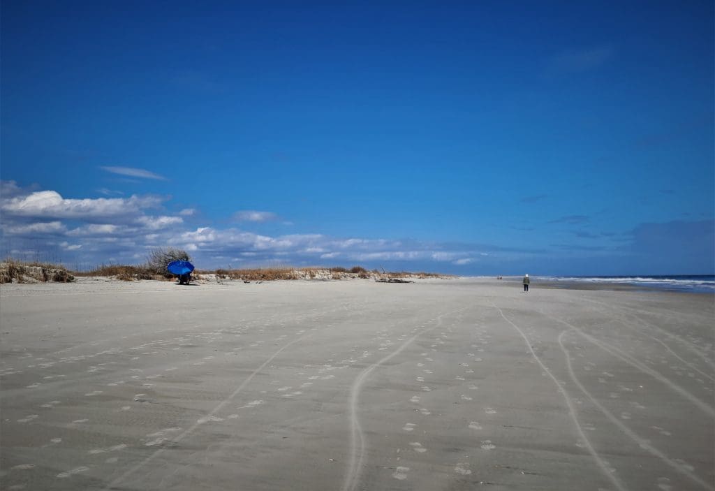
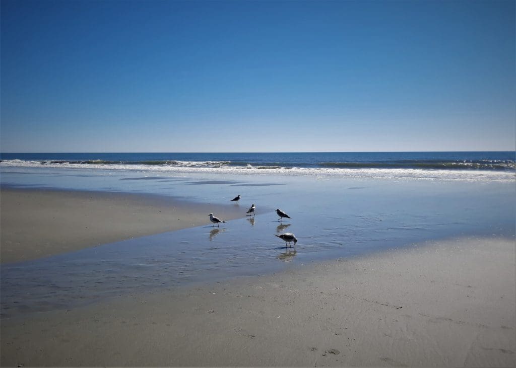
Wednesday I decided to stick around near where I was staying, because traffic in Myrtle is already heavy (in February!), and I didn’t want to waste any more beach time stuck in my car.
So I started with 45 mins of yoga, then did a quick 10 miles (!) on the beach right outside my door.
I really hadn’t meant to hike that far, but I was in the zone. Later, I accidentally hiked 3 more miles. Oops. 🙂
Thursday was more yoga and a quick 3 mile beach walk, and then I scampered up the Coast to home again.
Friday I had posted my first Meetup hike in a week or so, just the 6.5 mile Company Mill trail in Umstead State Park.
I had a great group of hikers join me, and we went at a good clip!
I was wearing ankle and knee compression for a little help, and I’m happy to say I didn’t have any issues 🙂
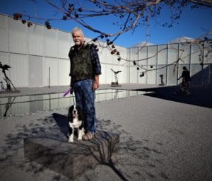
Later, That Man and the puppy joined me for another 4 mile urban hike – and we discovered a new pub!
Not sure if the cider and stout canceled out the exercise, but anyway, it’s nice to have another dog-friendly pub within walking distance.
So that winds up Week 9.
But, here’s the deal: training never really stops.
You can focus it more by training for a specific race or hike, or to get in shape for:
-
- your daughter’s wedding,
- or a school reunion,
- or your next doctor visit.
But that’s not the real goal.
More than tuning up for a single event, we train to be fit enough to enjoy our lives and activities every day.
TAKEAWAY LESSON: We’re really training for life. We all want to be able to do whatever we want to – both ordinary and extraordinary things – for as long as we can. And have fun doing it!
See you next time 🙂
I hope you’ll find my Training Log ramblings to be helpful- or at least amusing! 🙂 To see more of them go to my Training Log.
You could also take a look at my 8 Weeks to Awesome Training Plan post, if you want to see what kind of training I’m doing.
Thanks for stopping by – see you next time! LJ
To get New Idratherwalk Posts
sent directly to your inbox (how convenient!) Click this Button!