Most recently updated October 15th, 2024
Estimated Reading Time: 11.5 minutes
The Mountains to Sea Trail (MST) runs through or very near areas of North Carolina that were hardest hit by Hurricane Helene.
The Falls Lake section of the MST is open, along with many other NC State Parks and trails in the Eastern part of the State. That said, Parks and the MST on the Western side of the State have been damaged and may be inaccessible.
Go to my Hurricane Helene page to get the latest updates on the latest area Park, Trail and road repairs before you travel.
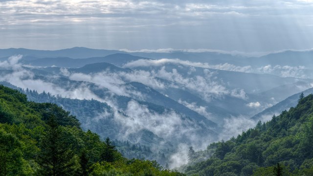
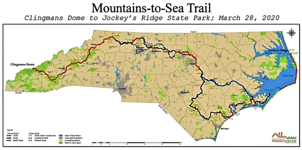
The Mountains-to-Sea-Trail (MST) is a simple hiking trail that spans almost 1200 miles across North Carolina, from the Great Smoky Mountains in the West to the Outer Banks on the East Coast.
Even though I’ve known about the MST for a good while, I didn’t really start hiking it on purpose until this past year.
Lately more and more people have been moving to my local area, and the easy-to-get-to hiking trails have become really crowded – especially on the weekends.
So I’ve had to look a little bit farther away for new trails – and that’s how I started paying more attention to the MST.
As of January 2019, 669 miles of the trail were completed, and even more have been done since then.
That’s just over half of the planned MST miles that are now completed in multiple segments across the state!
With temporary routes (for the unfinished parts of the MST) on backroads and bicycle paths, hikers can now follow the MST all the way across North Carolina.
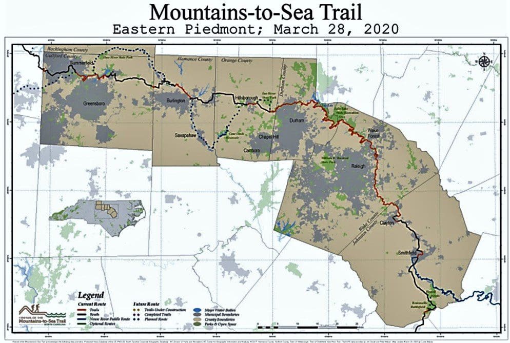
One of the longest finished segments goes ~60 miles along the Southern shore of Falls Lake, just to the North of Raleigh near Wake Forest.
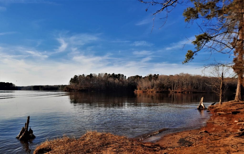
Even 60 miles (out of 1200) is an epic hike to most of us – but never fear!
You can hike smaller sections of the MST to make it an overnight backpacking trip, a day trip, or even just a few hours on the trail.
Today, I’ll tell you about the MST, and how you can hike my favorite local MST section (so far): MST Day Hike #22 at Rolling View in Falls Lake Recreation Area.
Some of my posts contain affiliate links. If you make a purchase through an affiliate link, I will receive a small payment at no additional cost to you. I do not get paid for recommendations, all opinions on this site are my own. See full Disclosure page here.
The Mountains to Sea Trail
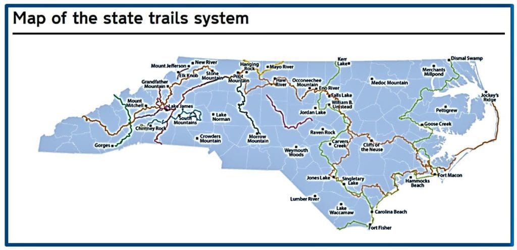
The MST is a part of the North Carolina State Trails System, which is in turn a part of North Carolina Department of Parks and Recreation.
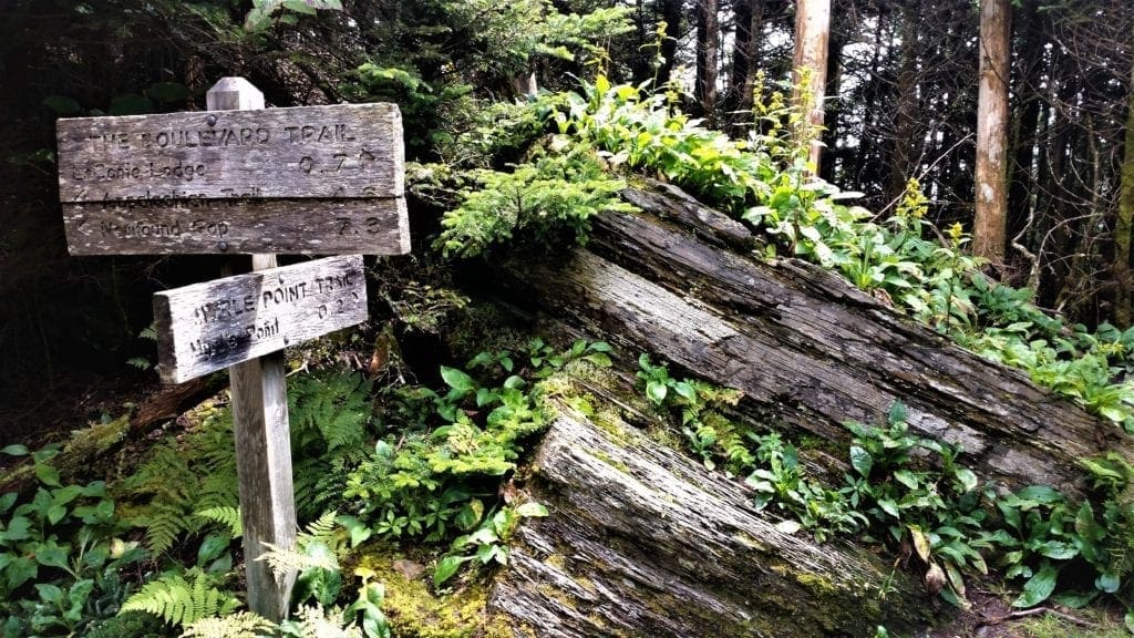
The MST is the scenic “backbone” of an interconnected trail system – including State Trails and trails through State and National Parks – that crosses the entire State.
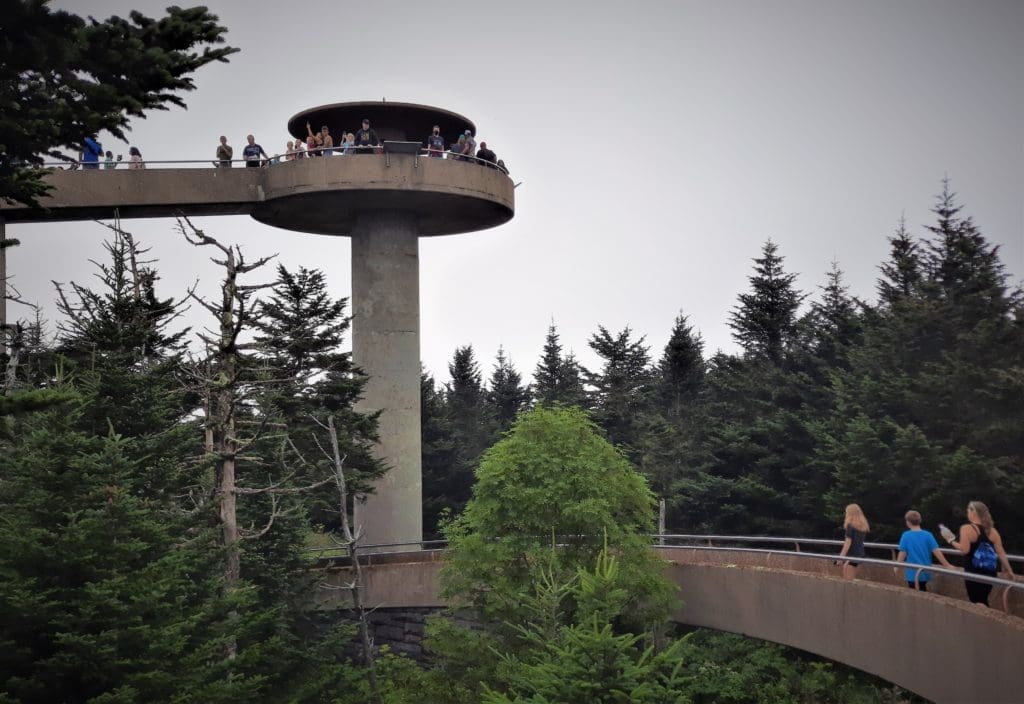
The trail’s western endpoint is at Clingman’s Dome, where it connects to the Appalachian Trail in the Great Smoky Mountains National Park.
Its eastern endpoint is in Jockey’s Ridge State Park on the tallest sand dune on the east coast.
Each year, volunteers devote thousands of hours to planning and blazing the trail by hand, extending the trail across the State step-by-step, milestone-by-milestone.
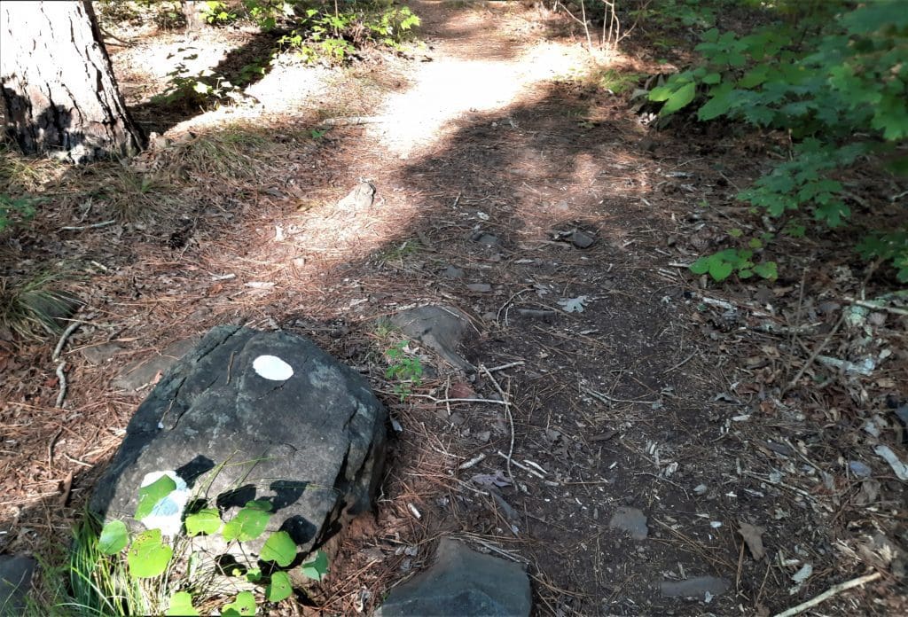
In 2017 alone, 800+ volunteers worked more than 36,000 hours to build and maintain the MST.
The Mountains to Sea Trail:
-
-
- Is North Carolina’s state trail and longest marked footpath
- Takes approximately 2,112,000 footsteps to complete
- Climbs both the tallest mountain peak and the highest sand dune in the Eastern United States
- Passes through 37 counties
- Passes through four national parks and two national wildlife refuges
- Connects to ten state parks
- Meanders through three national forests
- Passes three lighthouses, including the nation’s tallest
- Includes two ferry rides
-
Learn more about the MST at the North Carolina State Trails website.
MST History
The idea of a State Trail spanning North Carolina was first proposed in 1977 by Howard Lee, who was then the Secretary of the North Carolina Department of Natural Resources and Community Development.
The Mountains to Sea Trail was finally added to the State Park system on August 2, 2000.
Since that time, North Carolina’s State Trail unit has grown to include 691 acres in three tracts, and 87 acres in conservation easements.
Under the guidance of the NC Division of Parks and Recreation (NCDPR), each of these tracts is leased to local governments to manage as nature parks.
That said, most of the MST is located on land that’s NOT managed as part of a State Park.
Some of the MST private partners are:
-
-
- The Classical American Homes Preservation Trust and
- The historic Irvine Ranch (50,000 acres of open space), as well as
- The MST Trail/Fonta Flora State Trail Connector RTP project.
-
The above are just a few examples of public-private partnerships that have made the MST available to everyone.
And as recently as 2005, segments of MST along the Blue Ridge Parkway were designated as National Recreation Trail – making the MST a resource for the whole country!
Plan Your MST Hike
To help with your exploring, the Mountain to Sea Trail has been divided into State regions, and different trail segments.
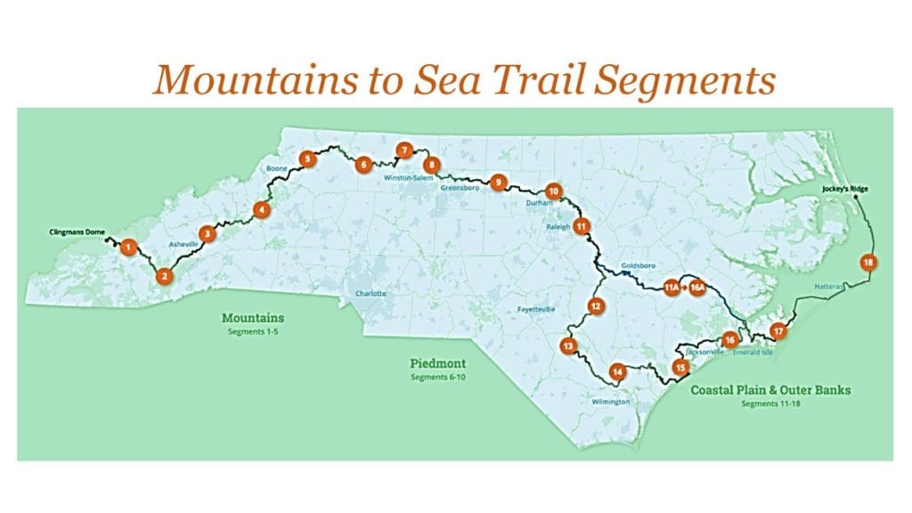
Most of the MST hikes we do locally in the Raleigh area come from Segment 10 of the MST.
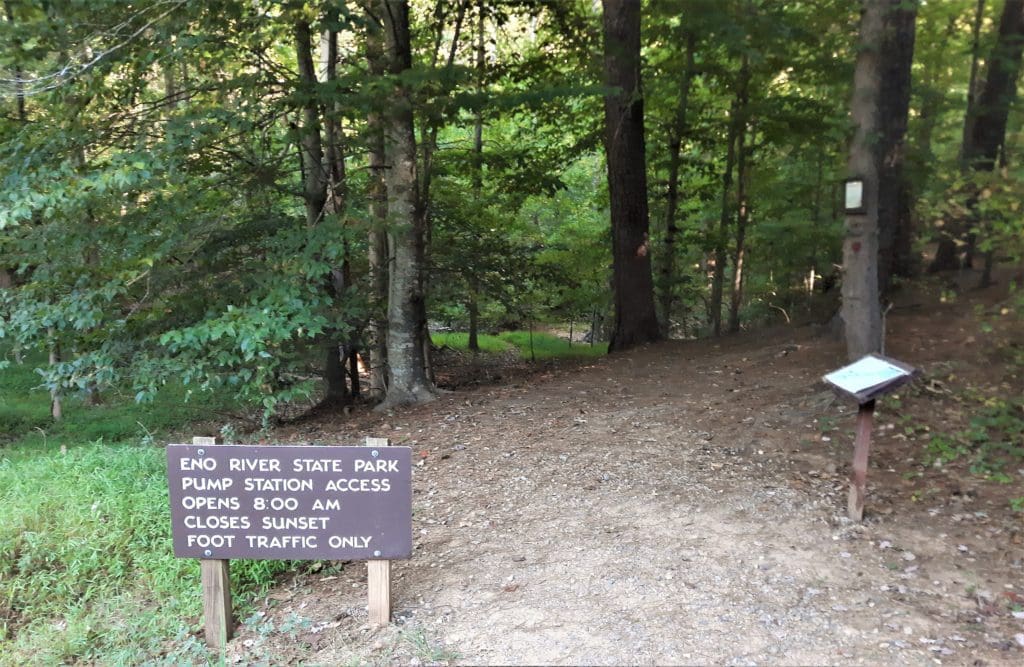
Segment 10 – Eno River & Falls Lake
This segment of the Mountains-to-Sea Trail (MST) winds its way along two prominent bodies of water – the Eno River and Falls Lake – just North of one of the most populated areas in the state, the Triangle (Raleigh, Durham, and Chapel Hill).
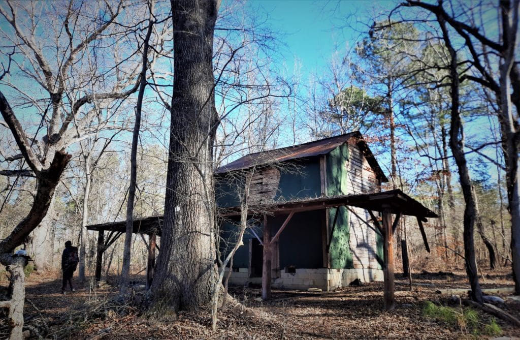
But you would never know it while you’re on the trail!
While “civilization” intrudes here and there, the majority of this MST segment reminds us of North Carolina’s rural roots.
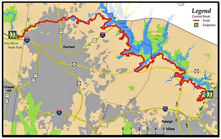
Segment 10 Total Distance: 79.3 miles, essentially all on trail, with a few incidental road sections
Difficulty: Easy to Moderate. Most of the elevation gain/loss is in Eno River State Park
Segment Overview: Starting from Orange County in the east, the trail follows the Eno downstream in Eno River State Park into Durham County, where it goes through West Point on the Eno.
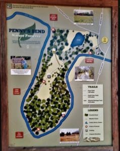
About 5 miles later, you go through Penny’s Bend Nature Preserve, where a geological oddity causes the river to form an unusual U-shaped bend.
Soon after Penny’s Bend, the Eno disappears as it flows into Falls Lake.
The MST continues on, hugging the southern shore of the lake until it comes to an end near Falls Lake Dam on the outskirts of Raleigh.
MST Hiking at Falls Lake
The Falls Lake State Recreation Area is a collective of seven access areas scattered around the shoreline of this undeveloped, 12,000-acre reservoir.
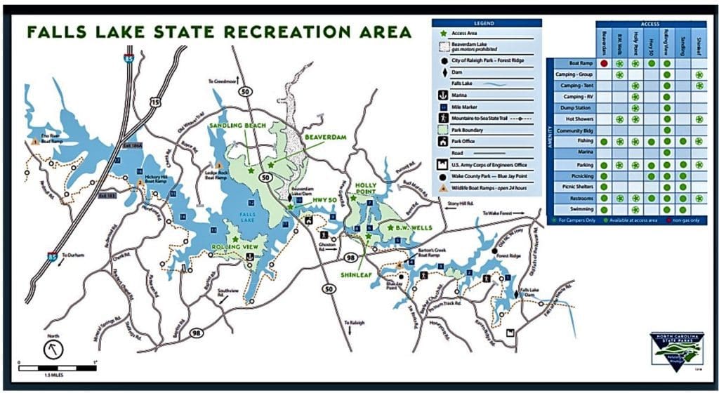
The Mountains-to-Sea State Trail winds through the Falls Lake Recreation Area and is the centerpiece of a network of hiking trails.
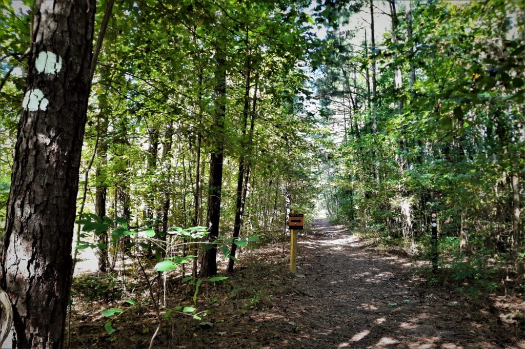
The Falls Lake Trail follows white blazes along the entire south shore of the lake, and is considered to be a portion of the North Carolina Mountains-to-Sea State Trail.
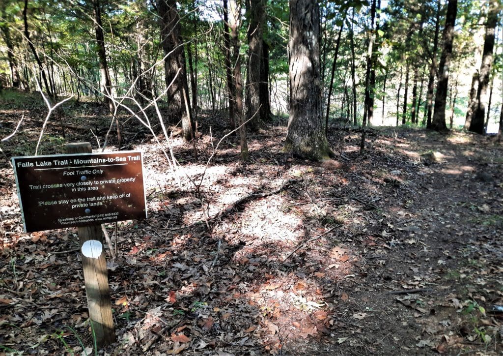
That said, there are many sections of the Falls Lake Trail, blazed in blue, that connect to recreational areas or MST sections, and provide camping stops for backpackers at Shinleaf and Rolling View.
Get The FREE PDF!
Everything that you need to learn about the MST and take the MST Hike #22 at Falls Lake is included in this post.
But it’s a long read and inconvenient to refer to online while you’re training.
For your convenience, you can click here to sign up and download your FREE “Hike the Mountains to Sea Trail at Falls Lake” PDF file.
Then you can print it out and refer to it anytime you want. Happy hiking! LJ
The Falls Lake Trail
The Falls Lake Trail can be accessed inside the park at:
-
- the Falls Lake Dam information center,
- Blue Jay Point County Park,
- Shinleaf access,
- the Falls Lake park office and
- Rolling View access.
The trail gives hikers a glimpse into the area’s pre-lake existence, through passages that include old road grades and the remains of homesites and farms.
The Friends of the Mountains to Sea Trail have organized the 60-odd miles of the MST at Falls Lake into a series of Falls Lake MST Day Hikes, starting with Dayhike A from the dam, and going all the way to Dayhike T at Penny’s Bend.
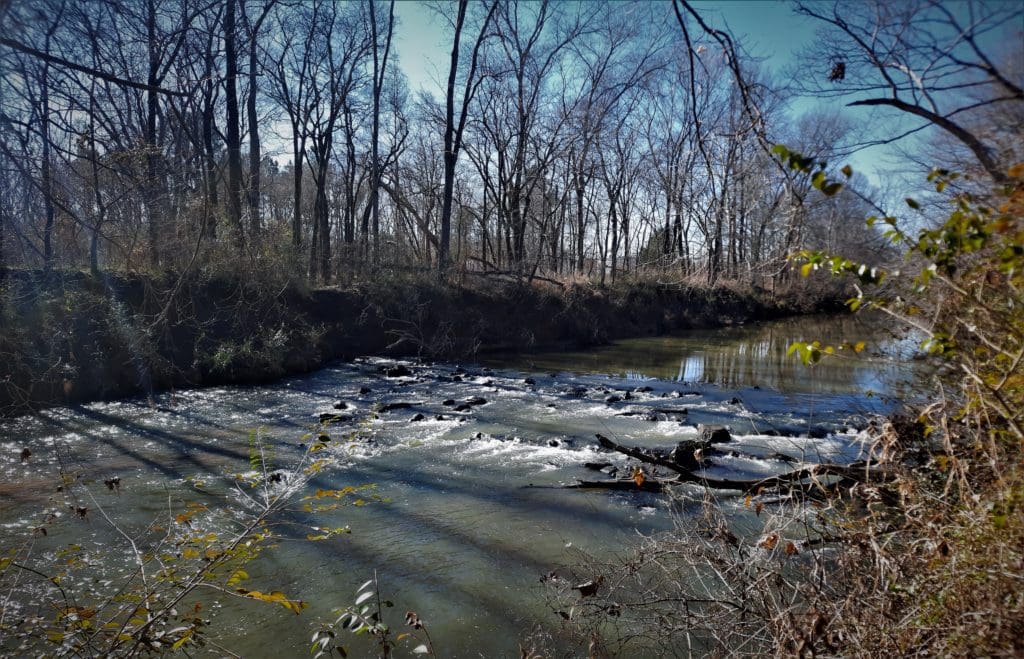
MST Day Hike #22 is my favorite because it’s a good long hike (~ 9 miles RT), and it has many interesting features along the way, including some elevation gain/loss that you don’t find in many areas around the lake.
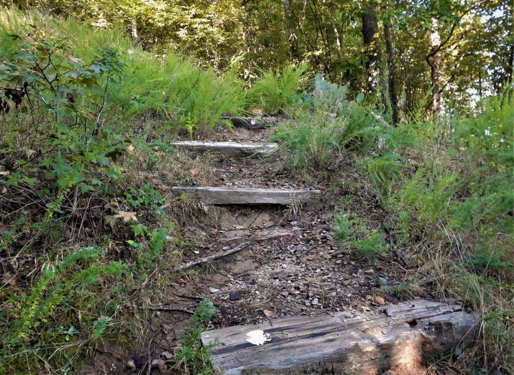
On this hike:
-
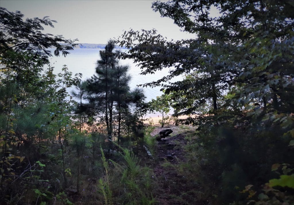
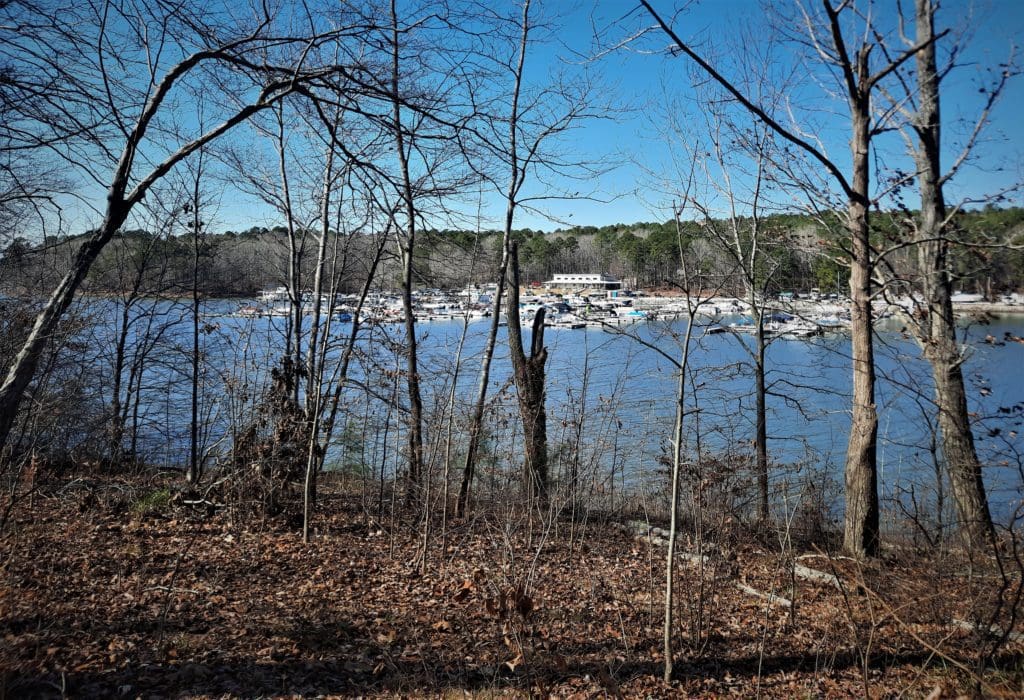
- You’ll be in the forest, but there are many spots with views of the lake.
- When water levels are up, you’ll see a couple of small waterfalls and need to cross small streams.
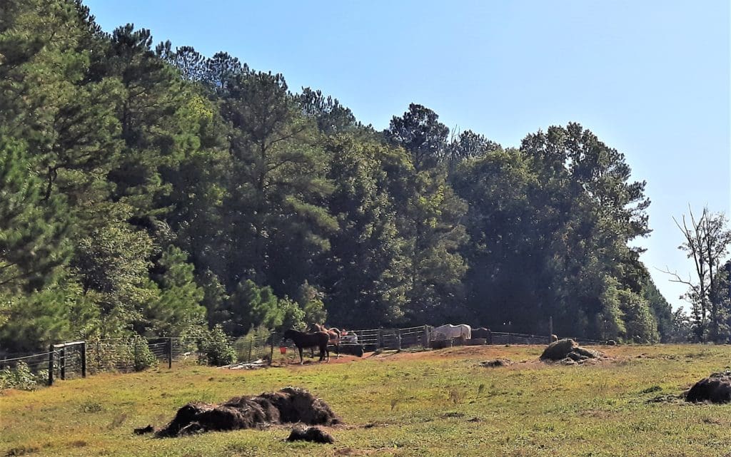
- You’ll pass horse pastures, and walk on gravel roads for a time.
- In the Springtime, you’ll walk through fields of yellow wildflowers.
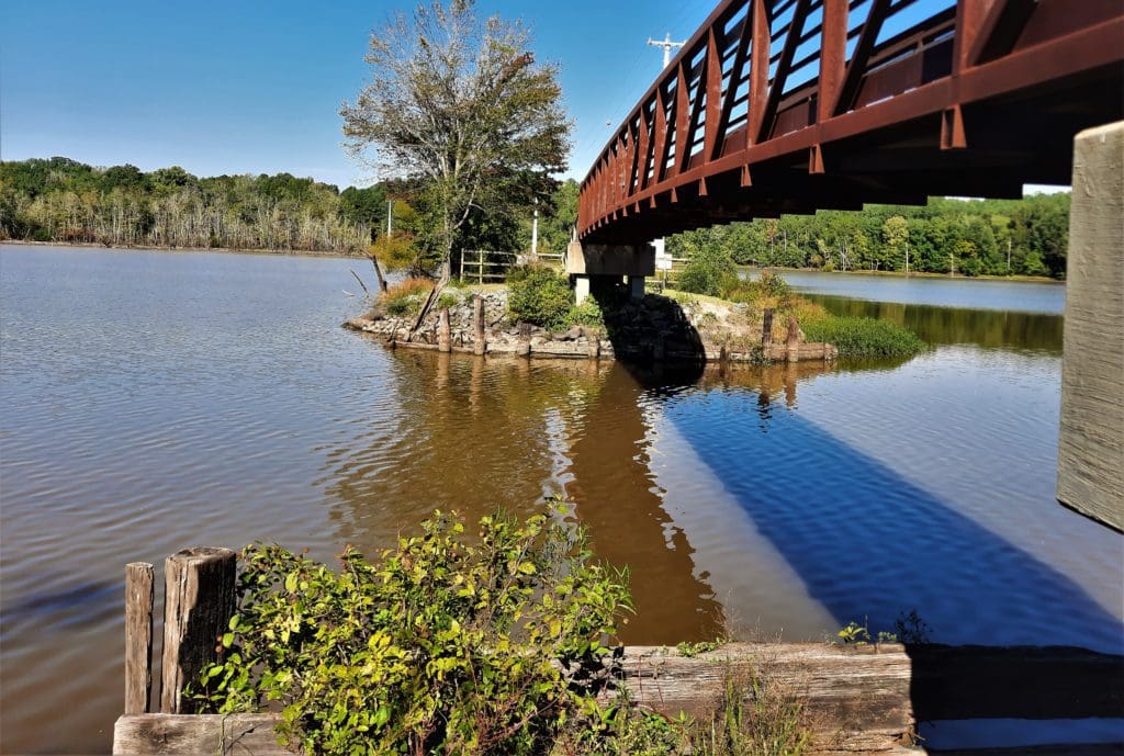
- And at the turnaround place, you cross a bridge and a long narrow boardwalk over the lake.
Read the details below.
MST Day Hike #22
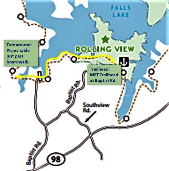
Baptist Road to Little Lick Creek Bridge
This section of the MST is designated as Day Hike #22 in the 40 Hike Challenge, a book published by the Friends of the Mountain to Sea Trail.
The directions in the guidebook are excellent (I bought a hard copy) and I had no trouble finding the trailhead, or staying on the trail following their directions.
This hike is also described, in a sort of combination of Hikes M & N, in Segment 10 of the Falls Lake Trail/MST.
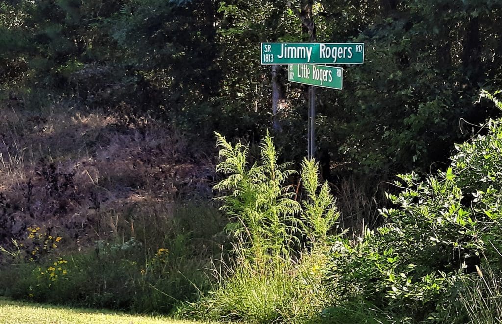
Since parking has been banned at the trailhead near Jimmy Rogers Rd and Santee Rd, the only way to complete Day Hike M is as an out-and-back hike from Rolling View, or by combining it with Day Hike N for a 9.1-mile hike.
I decided to start at the MST trailhead on Baptist Road, as does MST Day Hike #22, and continue through to the end of Day Hike N.
This way you don’t have pay to leave your car inside the Rolling View area of the Park, and you still get to hike on the cool boardwalk across the water at the end.
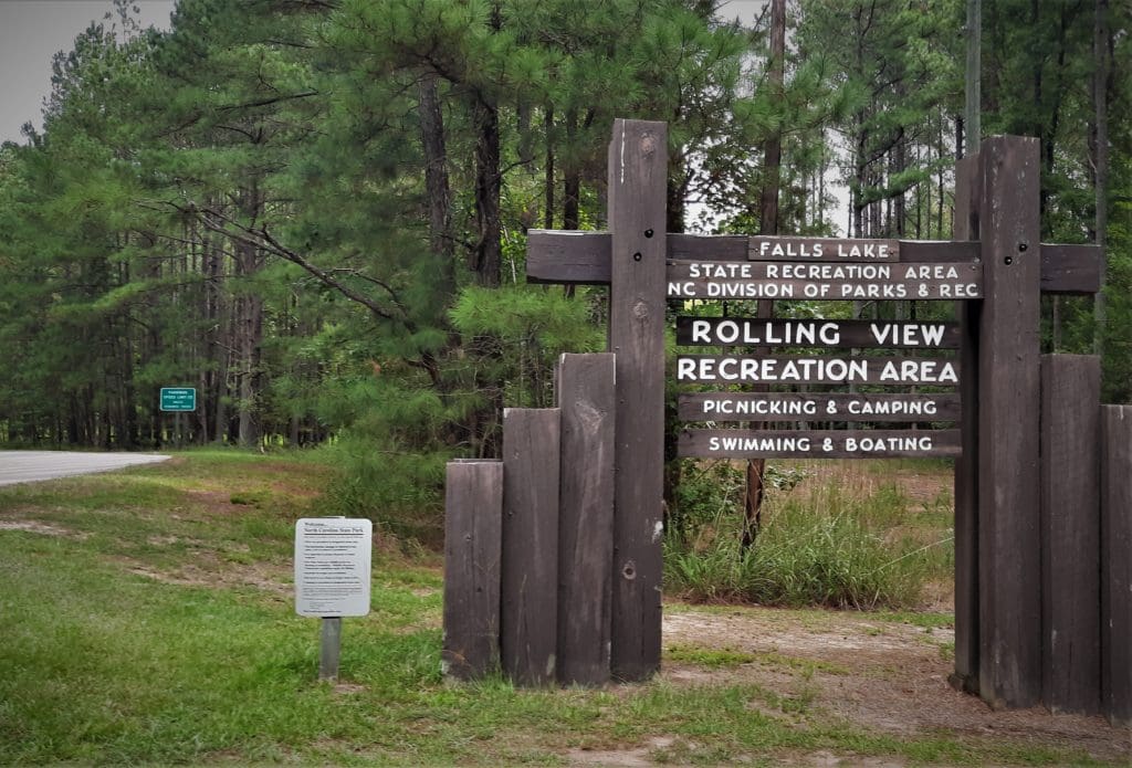
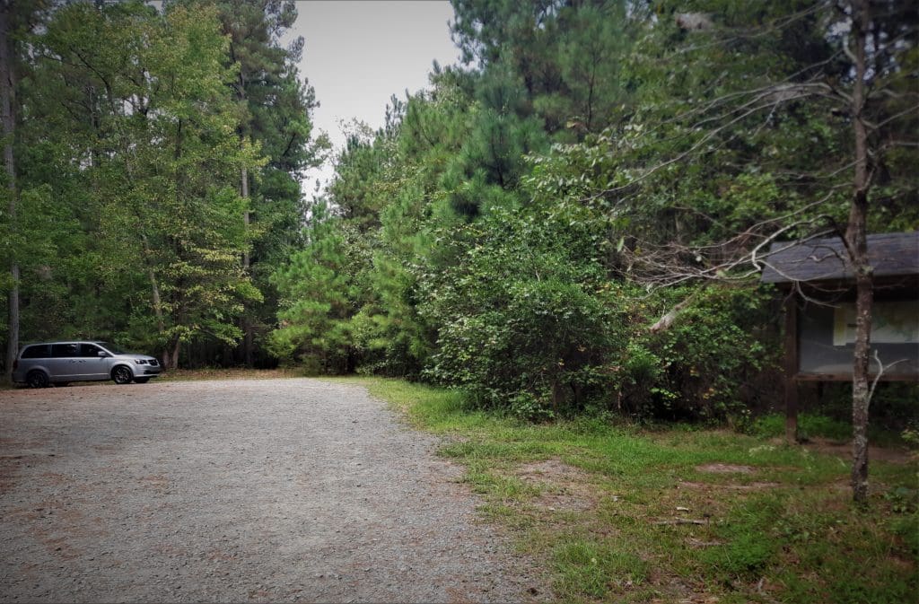
Trailhead – MST Trailhead and parking at Baptist Rd (it’s on Google Maps). It’s a small lot, so you’ll want to start early, especially on weekends!
Distance – ~9 miles.
Difficulty – Moderate.
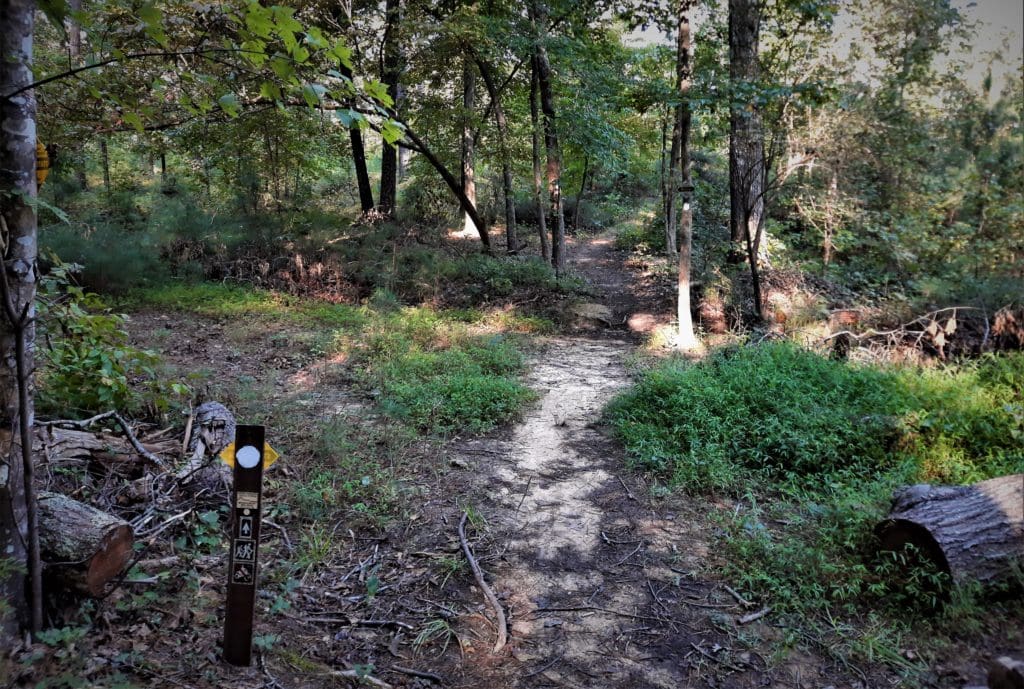
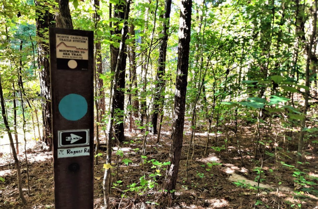
Along the Trail – From the Baptist Rd parking lot, the hike begins on a blue-blazed trail at the back of the lot.
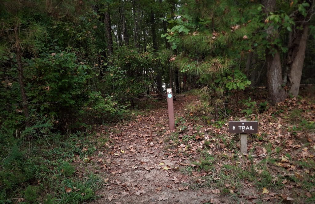
This spur trail goes slightly downhill for about .5 miles to the MST (white blazes) and then goes to the left.
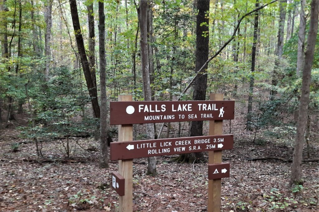
Hunting is allowed here, so during hunting season you should wear blaze orange or another bright color so you don’t look like a deer or bear 🙂
They have a friendly dog at this home, who sometimes barks and runs down the hill to say “hello” to hikers.
Sometimes we leave the trail here and give the horses some apple slices if they’ll talk to us 🙂
Hope Reins
The non-profit was formed in October 2009, and after years of serving on a smaller patch of rented land, they were able to purchase the beautiful, rolling land they’re on now.
Their Mission is to provide comfort to hurting children and their families by providing one-on-one sessions between caring leaders and extraordinary ‘equine counselors’ – many of whom are rescued horses and have faced abuse and neglect themselves.
Hope Reins offers kids one-on-one sessions, group programs, summer camps, and many more opportunities to heal.
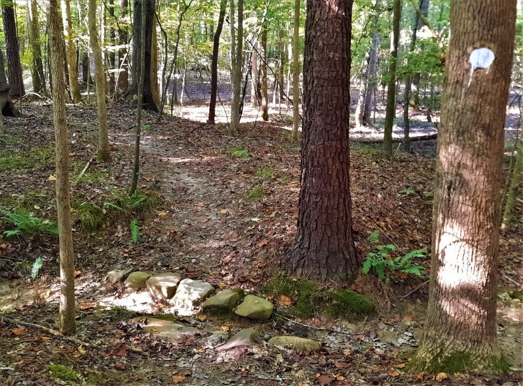
At mile 3.7, the trail comes out of the woods onto a gravel road for a short stretch.
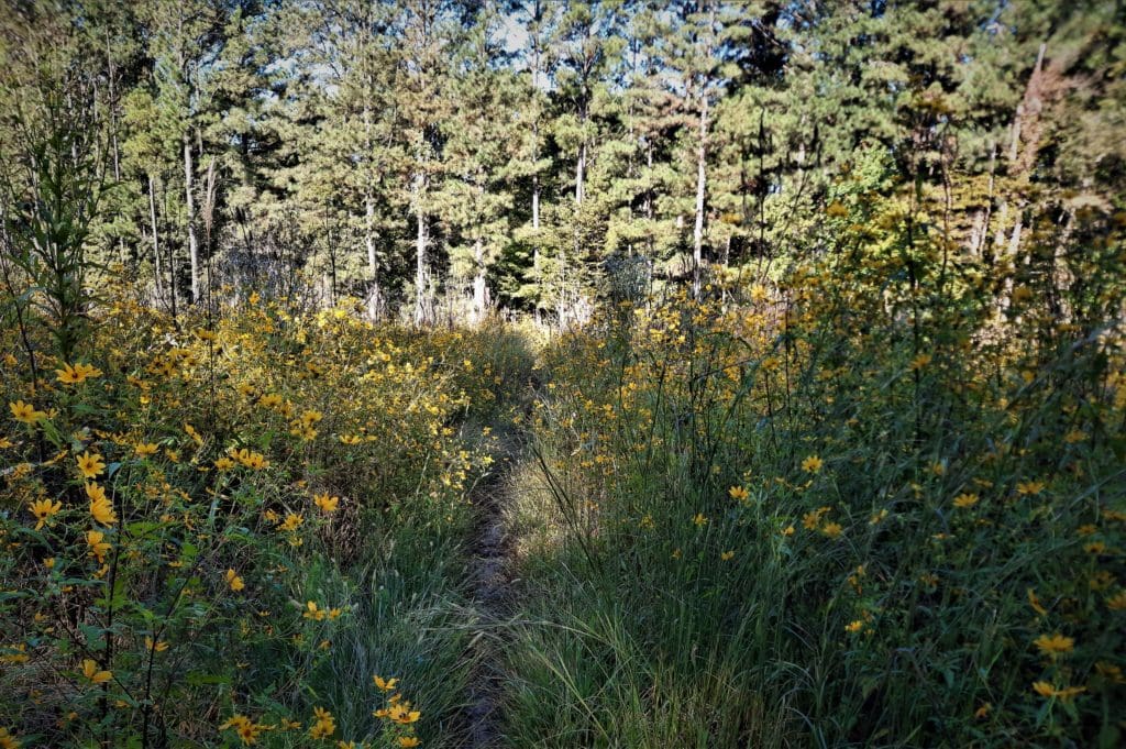
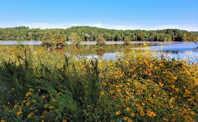
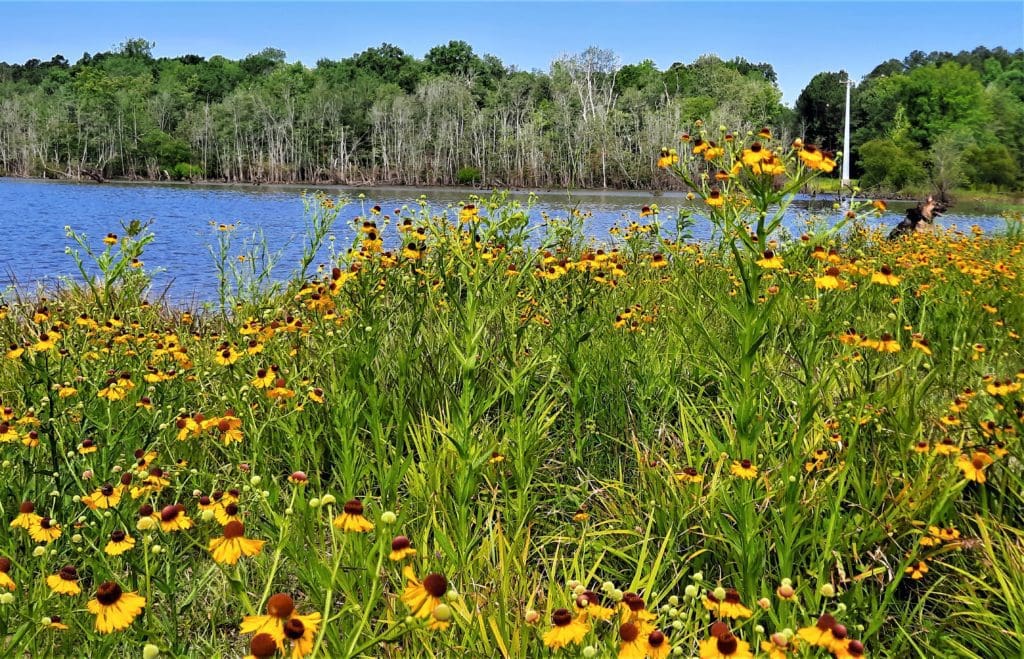
In the Spring and Summer, the grassy field in the cut is covered with yellow wildflowers!
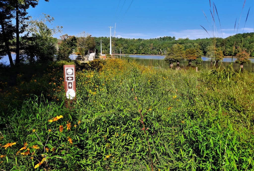
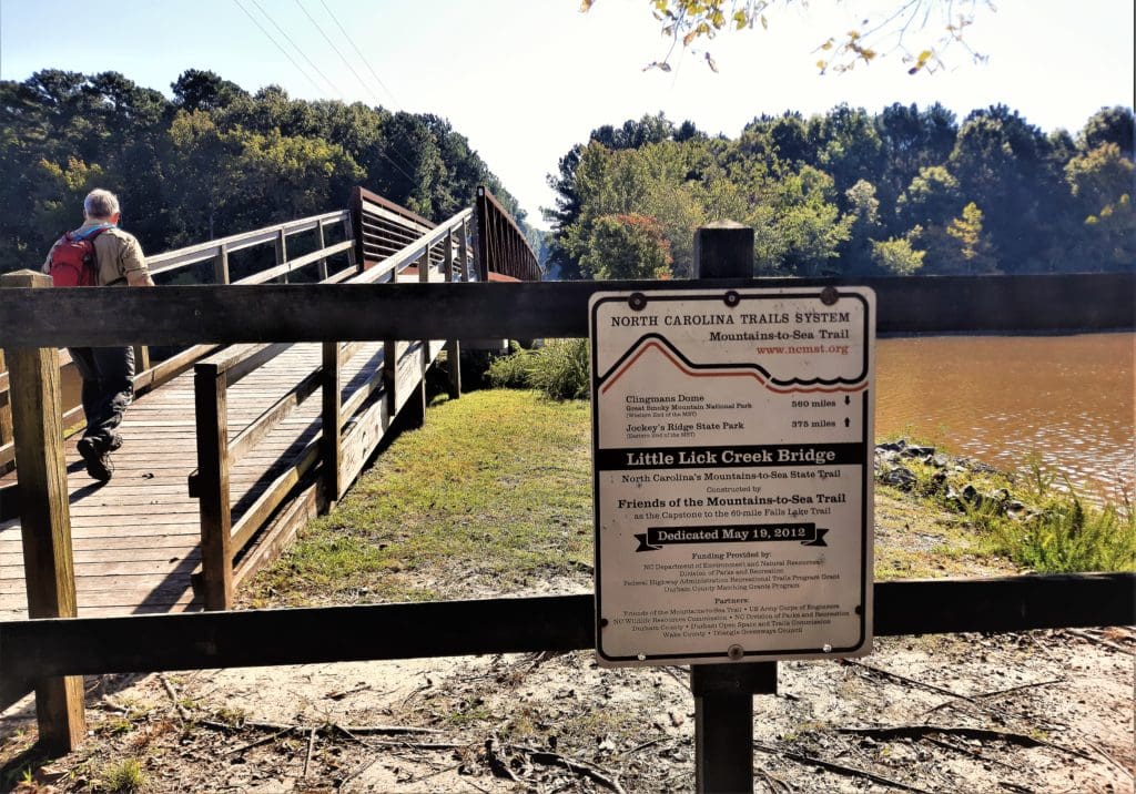
Technically, according to the trail guide, Day Hike #22 ends in the middle of the Bridge.
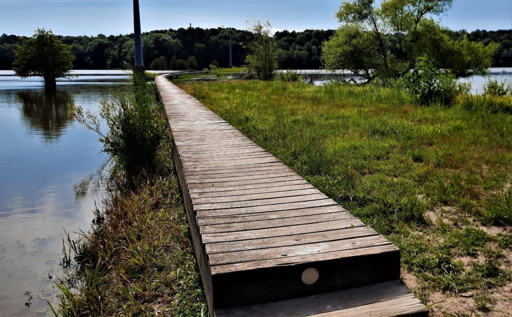
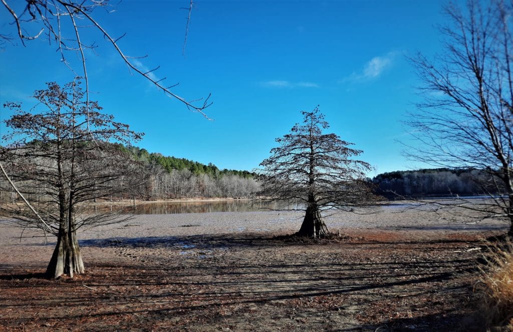
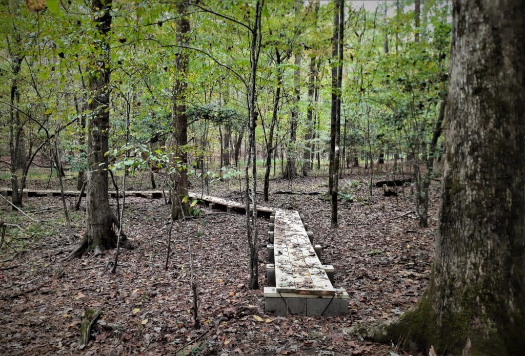
When the water level is low, the boardwalk goes over almost-dry land. But after heavy rainstorms, water can come up over the top of the boardwalk!
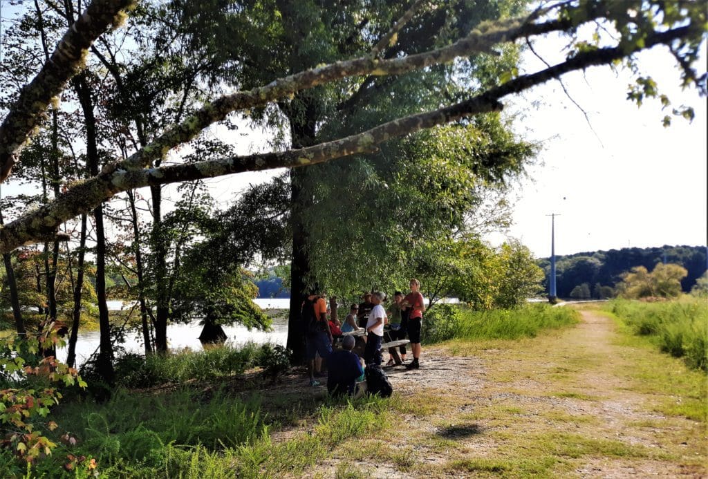
It wouldn’t be a real hike without a hill that everyone hates, and sure enough there is one, just after you cross a wooden bridge.

Get The FREE PDF!
Everything that you need to learn about the MST and take the MST Hike #22 at Falls Lake is included in this post.
But it’s a long read and inconvenient to refer to online while you’re training.
For your convenience, you can click here to sign up and download your FREE “Hike the Mountains to Sea Trail at Falls Lake” PDF file.
Then you can print it out and refer to it anytime you want. Happy hiking! LJ
Falls Lake History
Falls Lake was created by the U.S. Army Corps of Engineers to help control flooding along the Neuse River.
Construction of the dam that holds the lake was started in 1978 and completed in 1981.
Prior to 1978, flooding of the Neuse River caused extensive damage to public and private properties including roadways, railroads, industrial sites and farmlands.
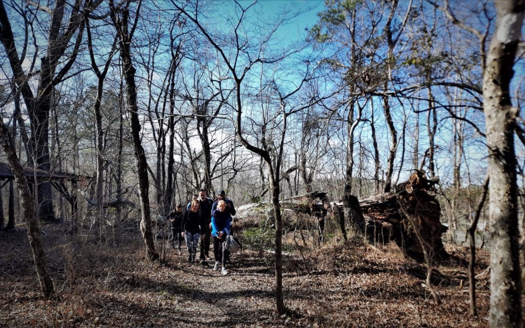
The lake is named after the Falls of the Neuse, an area of rock water falls and cascades that’s now submerged under the lake.
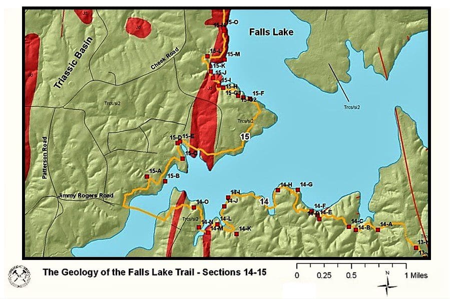
But various rock types exposed along the shore still give us insight into half a billion years of the geologic history of North Carolina.
Geology Highlights: A sandstone cliff along the lakeshore and a traceable line (dike) of diabase rocks are geological highlights of this trail section, Part of Geologic Section 14.
The cliffs are parallel to the former channel of the Neuse River.
Park Info
Hiking opportunities in the Falls Lake Recreation Area (other than the MST) are available in Beaverdam, Sandling Beach, Rolling View and Shinleaf recreation areas.
There are also trails available for campers only at Holly Point and B.W. Wells campgrounds.
More than 300 campsites at four of the access areas offer a range of outdoor experience from RV hookups to primitive tent camping and group camps.
Lodgings Along the MST at Falls Lake
If you want to turn your MST hike into an overnight trip, read the campsite information on the reservations website to check availability and fees.
To get all of the details about each campground, and learn how to make reservations, see Falls Lake’s camping page.
I hope this post has inspired you to visit the Falls Lake Recreation Area and try some new MST hikes!
Another good nearby place to hike a portion of the MST is Stone Mountain State Park.
If you have a question drop me an email and I’ll reply as soon as I can.
Thanks for stopping by – see you next time! LJ
To Get New Idratherwalk Posts
sent directly to your inbox (how convenient!) Click this Button
If you like this post, please share it!

LJ has spent much of her free time as a single Mom – and now as an empty-nester – hiking in the US and around the world. She shares lessons learned from adventures both local and in exotic locations, and tips on how to be active with asthma, plus travel, gear, and hike planning advice for parents hiking with kids and beginners of all ages. Read more on the About page.
