Most recently updated August 28th, 2025
Until just recently, due to Hurricane Helene and flooding from Chantal, numerous National and State Parks have been closed in W North Carolina and parts of southern Virginia.
But within the past couple of weeks, some roadways and bridges have been restored – but only partly and with slower speed limits. That’s great news! But many detours are still in place. It may still take up to a year to make some repairs.
For your safety – as well as the safety of Park staff and emergency response workers – please don’t attempt to access roads or parks that have been closed.
NOTE: In the past few weeks, new flooding and wildfires have also impacted the area. Please check for conditions before you travel to W North Carolina!!
I’ve listed some info below, and links to the latest info updates for your hike and travel planning.
Happy trails – LJ
NC State Park Info
-
-
- Chimney Rock State Park
- Crowders Mountain State Park
- Elk Knob State Park
- Gorges State Park
- Grandfather Mountain State Park
- Lake James State Park
- Lake Norman State Park
- Mount Jefferson State Natural Area
- Mount Mitchell State Park
- New River State Park
- Rendezvous Mountain
- South Mountains State Park
- Stone Mountain State Park
-
The National Park Service is discouraging unnecessary travel in and to western North Carolina unless the area has been declared open and safe. Many roads continue to be closed due to unsafe conditions.
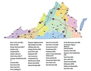
Virginia State Park Info
Due to Hurricane Helene and other flooding, some Virginia State Parks have also been closed or partially closed.
Please click the links below for specific and current info for each park.
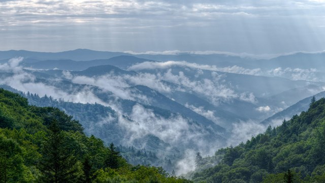
Great Smoky Mountains National Park
Trail Advisory
Shenandoah National Park
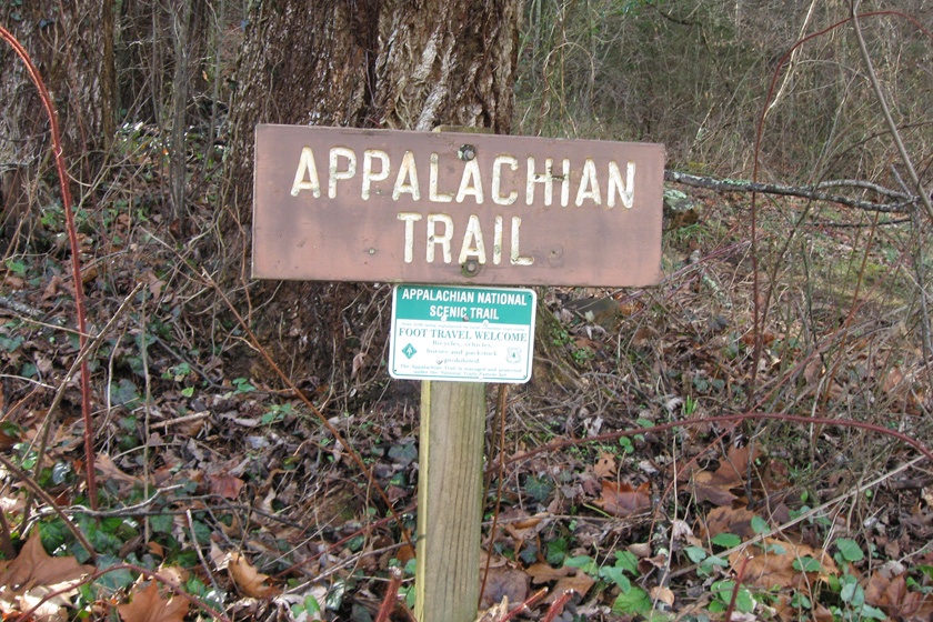
Appalachian Trail (AT)
Current Conditions
The ATC, National Park Service (NPS), and U.S. Forest Service (USFS) have updated guidance for A.T. hikers based on initial, limited assessments.
Visitors should be aware that trail assessments have not been completed in all areas and caution should be exercised when hiking.
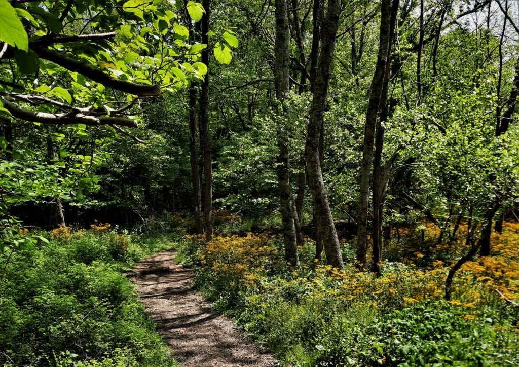
State Trails
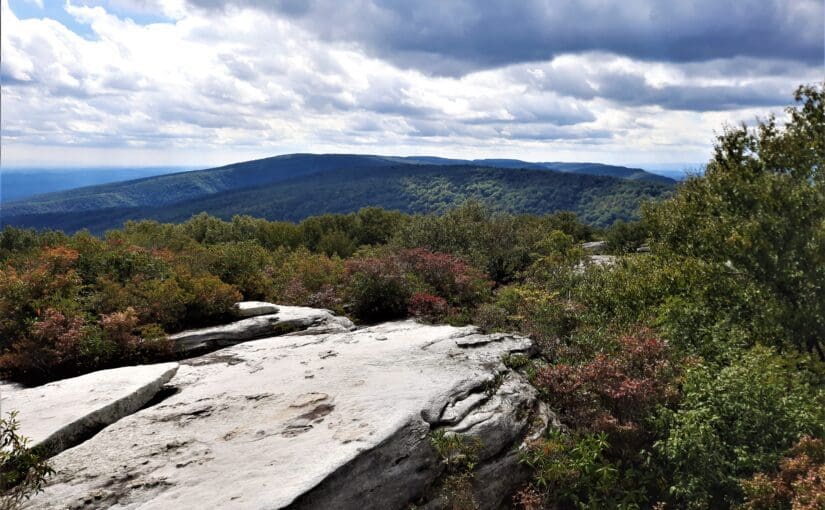
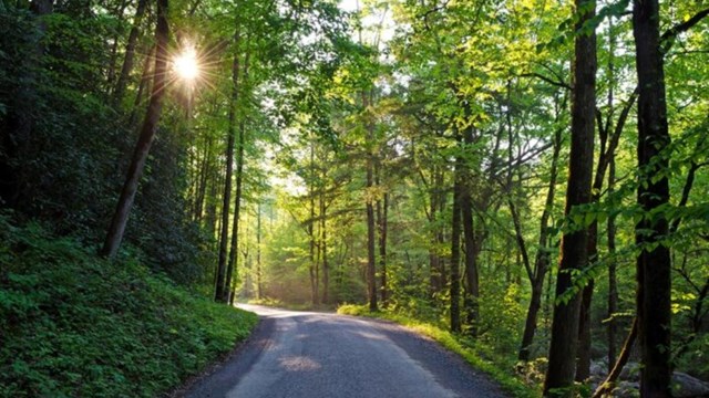
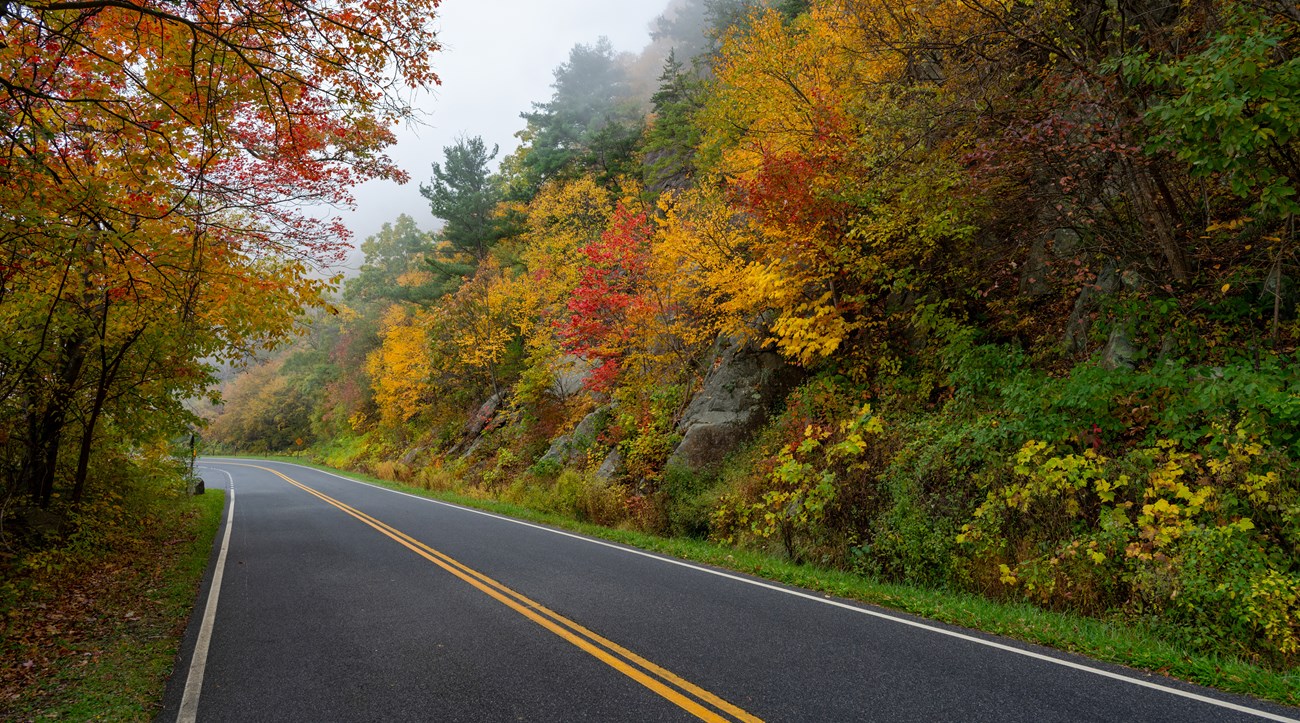
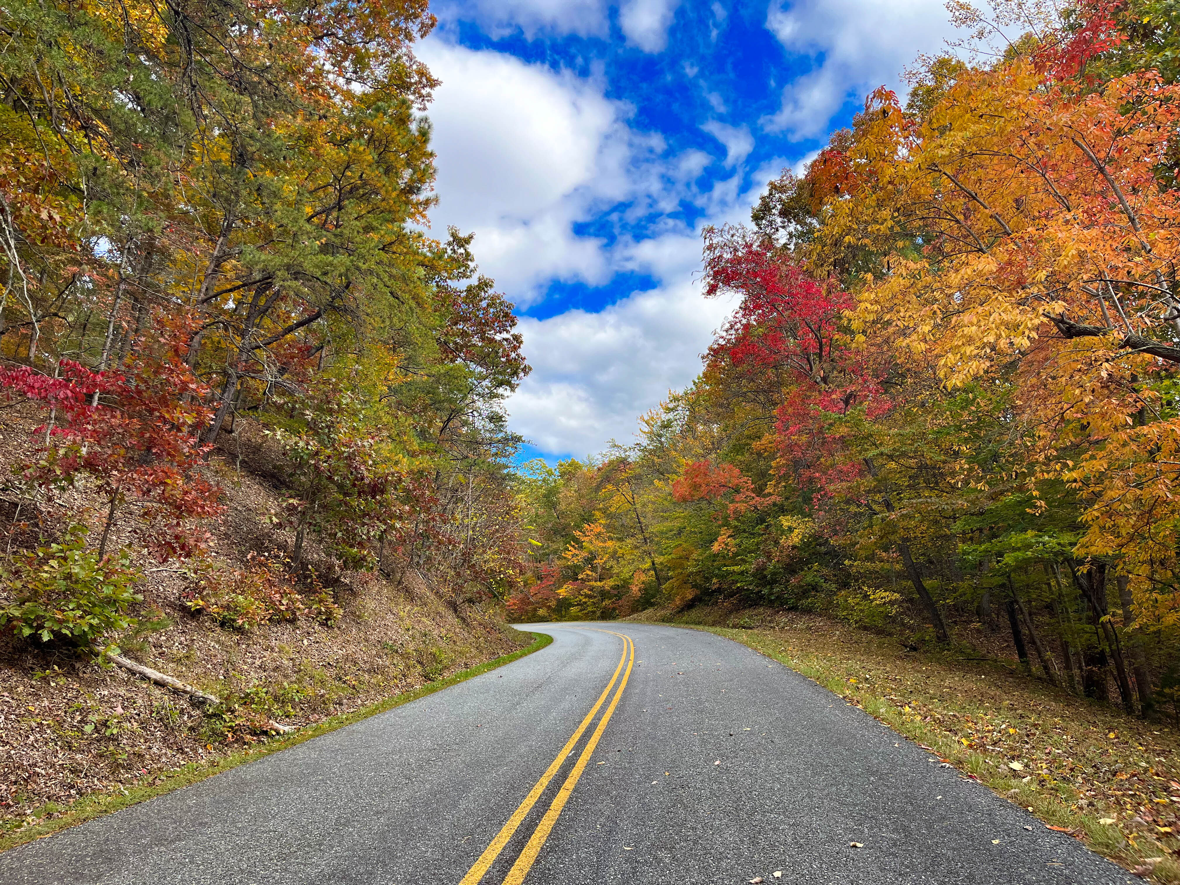
Blue Ridge Parkway
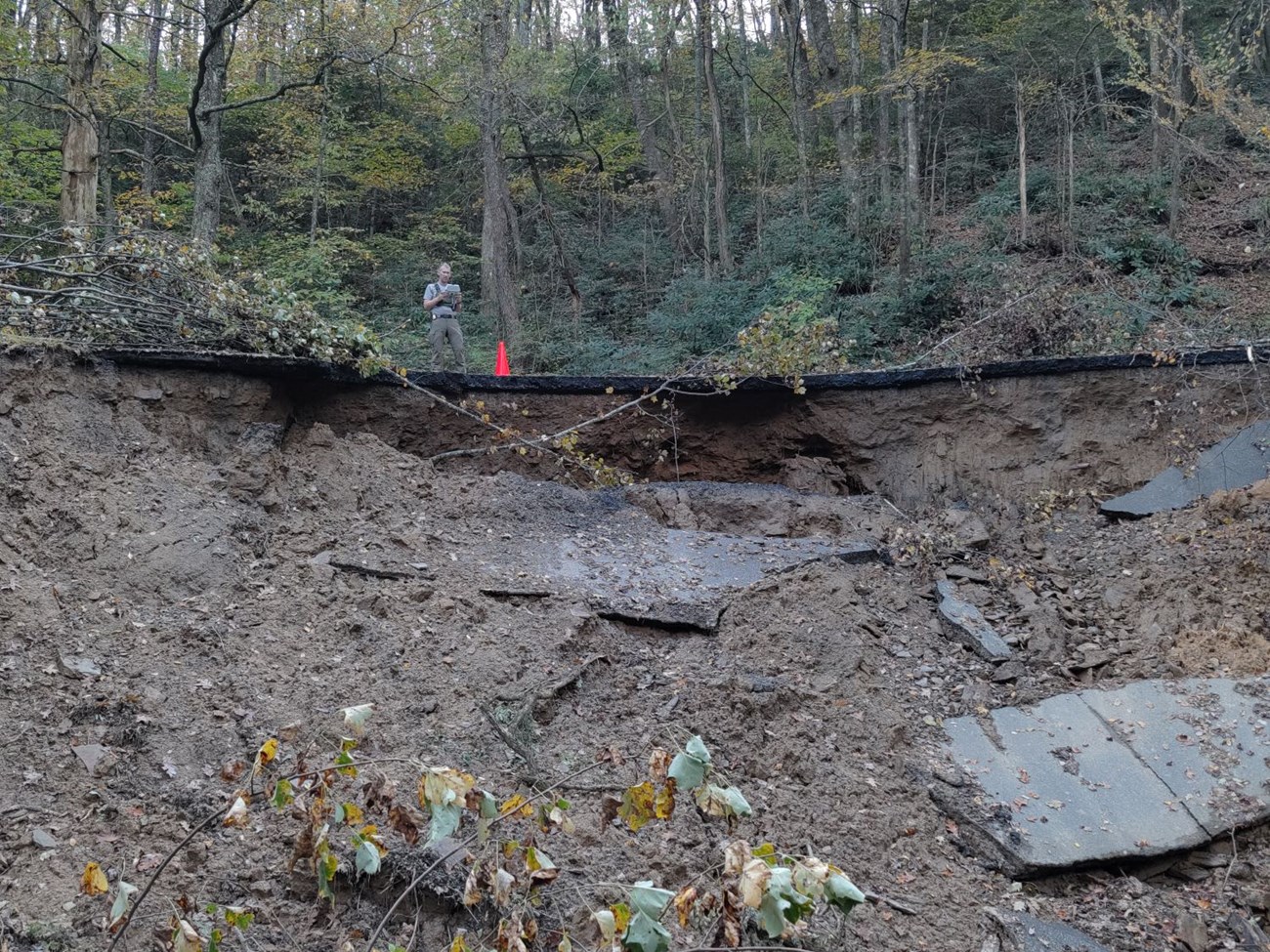
Portions of the Blue Ridge Parkway may still be closed or may have been re-closed due to recent flooding and wildfires.
Visitors should be aware that trail assessments have not been completed in all areas and caution should be exercised when hiking.
Updates will be posted on the Blue Ridge Parkway website at www.nps.gov/blri .
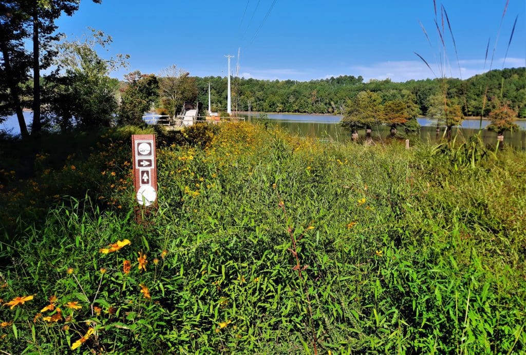
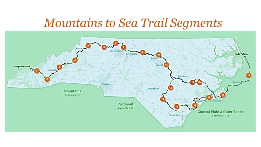
Mountains to Sea Trail (MST)
The following update, as of October 4, 2024 comes from the Friends of the Mountains to Sea Trail:
“The MST from Kuwohi (Clingman’s Dome) through Stone Mountain State Park should be considered closed and highly dangerous.”
“In the coming days and weeks, we will be surveying the trail and assessing damage, but trail restoration is a very low priority in light of the humanitarian crisis facing western North Carolina, and it is likely that sections of the trail will remain closed for a significant length of time.“
Click to See MST Segment Guide Updates
ROAD CLOSURES
There have been a lot of road closures around the area affected by Hurricane Helene and flooding from Chantal including some of the bigger highways.
To Get New Idratherwalk Posts
sent directly to your inbox (how convenient!) Click this Button