Myrtle Beach – 5 Days of Walks and Outdoor Fun!

Most recently updated October 15th, 2024

Estimated Reading Time: 18 minutes

Myrtle Beach, South Carolina is a favorite Summer family vacation spot!

Located in the center of the 60-mile long stretch of beach known as “The Grand Strand”, it’s one of the major tourist destinations in the entire country, attracting over 20M visitors each year.

Myrtle Beach Spring Break

Spring Break reveler at Myrtle Beach :-)
Spring Break reveler at Myrtle Beach 🙂

Myrtle Beach is also a notorious Spring Break destination, but it’s not what you think!

The Spring Break crowd in Myrtle typically has adult supervision and isn’t the crazy College break scene like you get in Fort Lauderdale.

So Myrtle Beach is a good choice for both adult travelers and families with school-aged children on Easter break. 

Winter at the Beach

I usually go to Myrtle in the off-season, because it’s both less crowded and less expensive then.  
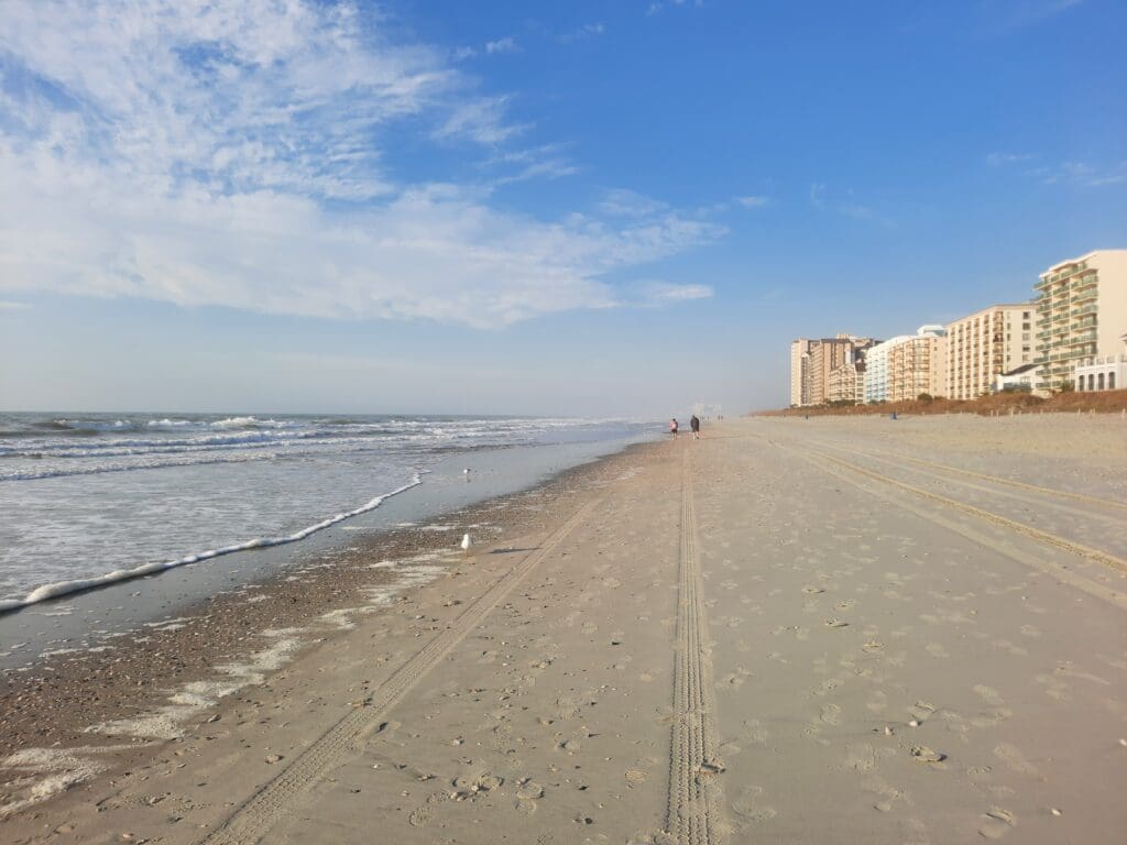
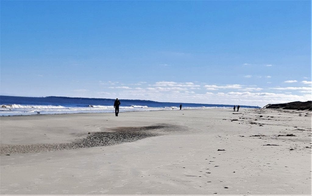
North Myrtle Beach in February.

And I like the beach in the Winter, because you can walk by the water for miles without suffering heat stroke 😉

That said, more things are open in the Summer season, when more people are around.

Read on to learn about fun activities I’ve found in every season – including the beach – that work for adult travelers and families, too.   

Continue reading Myrtle Beach – 5 Days of Walks and Outdoor Fun!

Hike the Great Channels on Brumley Mountain

Most recently updated October 15th, 2024

Estimated Reading Time: 14 minutes

The Great Channels are right on the edge of  the areas of North Carolina and Virginia that were hardest hit by Hurricane Helene.

That said, the Park is open (with some restrictions) and many of the surrounding communities are open for business and could really use your Fall vacation dollars to help rebuild!

Go to my Hurricane Helene page to get the latest updates on the latest Park, Trail and road repairs. 

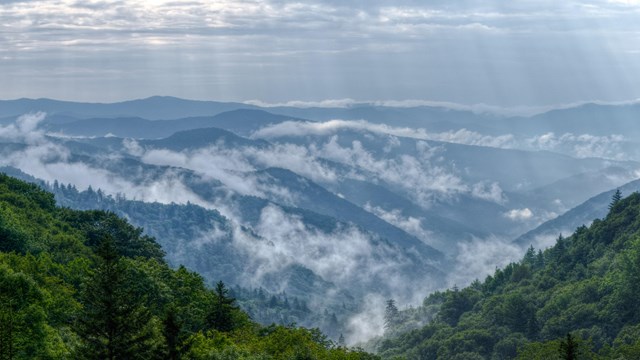
Mists rise from the mountains after a summer rain.
Smoky Mountains get their name from the mist that settles in the valleys.

I finally got to explore the Great Channels on Brumley Mountain, Virginia earlier this Fall after obsessing over it for nearly a year!

On the Navajo Trail in Bryce Canyon, Utah

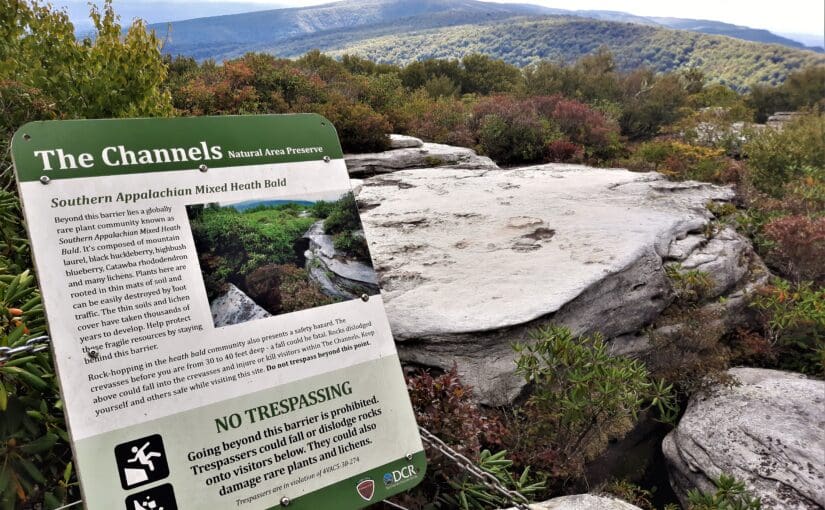
The Great Channels sit at the summit of a mountain, and features a maze of slot canyons similar to those you might find in the parks in Utah or Arizona.   

But the Great Channels formation is a surprise geologic gem hidden in southwest Virginia! 

Anyway, last year, while planning a hiking trip to Grayson Highlands State Park (more on that later),  I stumbled across an article about the Great Channels. 

“Stumbled” is probably not the best word for a hiker to use, but you know what I mean 😉

I made some new friends at Grayson Highlands State Park.

The Channels are a series of deep crevices worn into prehistoric sandstone outcrops, where you can walk down into the maze-like network of  crevices and explore.

You can also climb up on top of the Channels to get a stunning 360 view of the surrounding mountains!

Read on to learn how you can hike to the Great Channels, too.

Continue reading Hike the Great Channels on Brumley Mountain

New River Gorge National Park – 5-Day Hike Guide

Most recently updated October 19th, 2022

Estimated Reading Time: 18 minutes

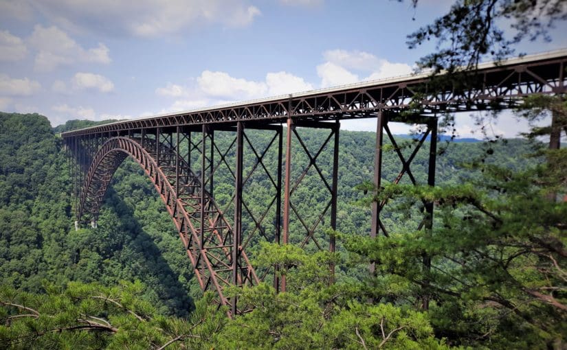
New River Gorge National Park and Preserve in West Virginia is our nation’s 63rd – and newest – National Park.

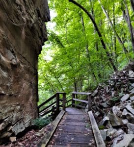
Rock wall along the Rend Trail in the Thurmond area.

The park encompasses over 70,000 acres of land along 53 miles of the New River from Bluestone Dam to Hawk’s Nest Lake.

In spite of it’s name, the New River is one of the oldest rivers on Earth, and has carved the deepest and longest river gorge in the Appalachian Mountains – dropping 750 feet over 50 miles!

More than a million people visit the gorge each year to kayak, canoe, and fish in the river or hike, bike, and camp on the land.  

For the past two years, I’ve been one of them!  

Each Summer, my family has a reunion in Indiana over the July 4th holiday. 

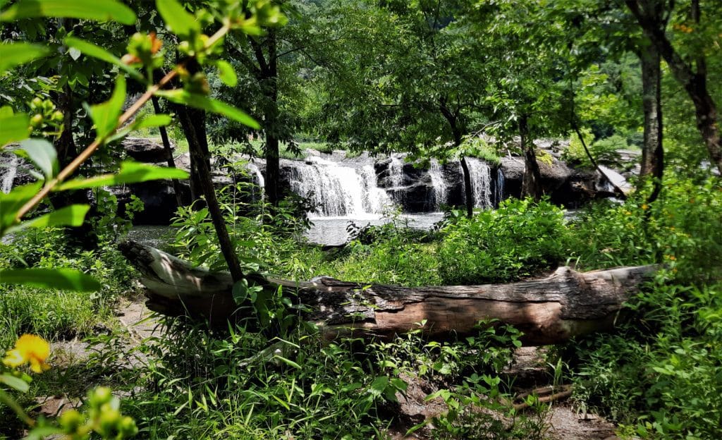
One of the smaller Falls and Sandstone Falls in the Park.
One of the smaller Falls at Sandstone Falls in the Park.

It’s a long drive, so on the return trip I’ve stopped at  New River Gorge National Park to break up the drive and check it out.

The first year, I only had a day at the Park, but this time I scheduled 4 whole days!  I was NOT disappointed 🙂

Read on to find out about the hikes I found there, and how you can go, too! Continue reading New River Gorge National Park – 5-Day Hike Guide

Hike Old Rag in Shenandoah National Park

Most recently updated October 15th, 2024

Estimated Reading Time: 16 minutes

The Shenandoah National Park is right on the edge of  the areas of North Carolina and Virginia that were hardest hit by Hurricane Helene.

That said, the Park is open and many of the surrounding communities are open for business and could really use your Fall vacation dollars to help rebuild!

Go to my Hurricane Helene page to get the latest updates on the latest Park, Trail and road repairs. 

Mists rise from the mountains after a summer rain.
Smoky Mountains get their name from the mist that settles in the valleys.

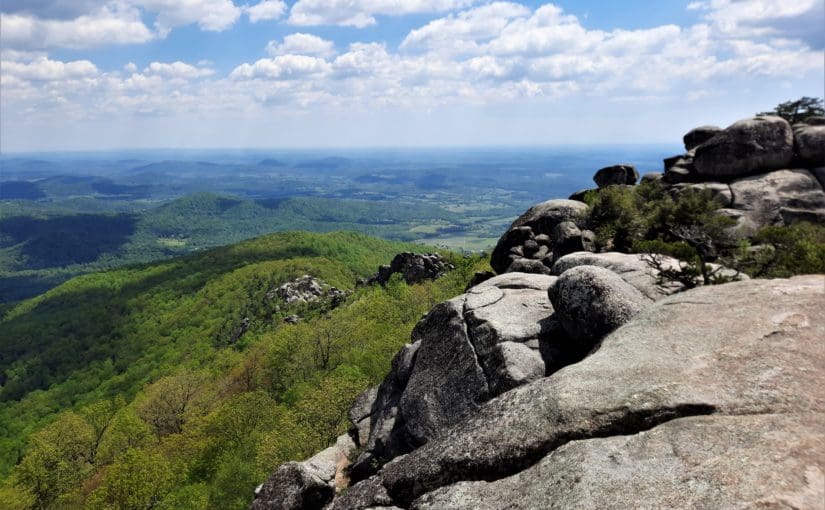
I made the journey to Shenandoah National Park in Virginia again last Spring, specifically to (finally!) hike the iconic Old Rag summit hike.

Old Rag was my Moby Hike - the one that got away!
Until this year, Old Rag was my Moby Hike – the one that got away!

It was the hike that got away – my Moby Hike!

I’ve had plans to hike Old Rag for the past three years – but each attempt was thwarted by weather or logistics.  

So I went back to try again – and I’m so glad I did! 

It was a perfect-weather weekday in May before all of the families started their Summer vacations, so there were other hikers on the trail, but the place wasn’t over-run.

There’s a long rock scramble to the mountain’s summit that works better with some teamwork – especially if you’re a little bit vertically challenged, like I am 🙂

I conquered Old Rag, then I found a couple of other rock-scrambly hikes in Shenandoah that were a little less daunting to do the next day.

Read on to learn how you can hike Old Rag, and those other hikes too!

Continue reading Hike Old Rag in Shenandoah National Park

Hike the Mountains to Sea Trail at Rolling View in Falls Lake

Most recently updated October 15th, 2024

Estimated Reading Time: 11.5 minutes

The Mountains to Sea Trail (MST) runs through or very near areas of North Carolina that were hardest hit by Hurricane Helene.

The Falls Lake section of the MST is open, along with many other NC State Parks and trails in the Eastern part of the State.  That said, Parks and the MST on the Western side of the State have been damaged and may be inaccessible. 

Go to my Hurricane Helene page to get the latest updates on the latest area Park, Trail and road repairs before you travel. 

Mists rise from the mountains after a summer rain.
Smoky Mountains get their name from the mist that settles in the valleys.

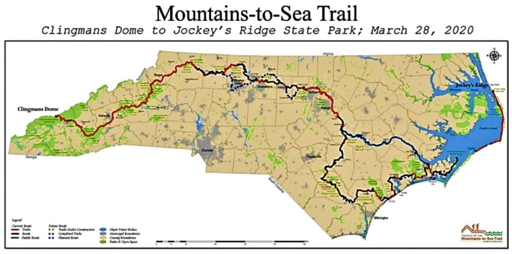
The Mountains-to-Sea-Trail (MST) is a simple hiking trail that spans almost 1200 miles across North Carolina, from the Great Smoky Mountains in the West to the Outer Banks on the East Coast.

Even though I’ve known about the MST for a good while, I didn’t really start hiking it on purpose until this past year.

MST Day Hike #22 in Winter.

Lately more and more people have been moving to my local area, and the easy-to-get-to hiking trails have become really crowded – especially on the weekends.

So I’ve had to look a little bit farther away for new trails – and that’s how I started paying more attention to the MST.

As of January 2019, 669 miles of the trail were completed, and even  more have been done since then.

The MST across North Carolina.

That’s just over half of the planned MST miles that are now completed in multiple segments across the state!

With temporary routes (for the unfinished parts of the MST) on backroads and bicycle paths, hikers can now follow the MST all the way  across North Carolina.

One of the longest finished segments goes ~60 miles along the Southern shore of Falls Lake, just to the North of Raleigh near Wake Forest.

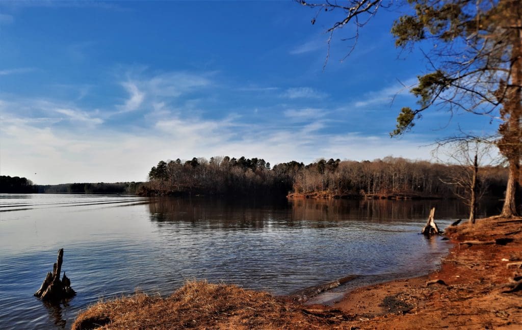
View of Falls Lake from the trail.

Even 60 miles (out of 1200) is an epic hike to most of us – but never fear!

You can hike smaller sections of the MST to make it an overnight backpacking trip, a day trip, or even just a few hours on the trail.

Today, I’ll tell you about the MST, and how you can hike my favorite local MST section (so far): MST Day Hike #22 at Rolling View in Falls Lake Recreation Area.

Continue reading Hike the Mountains to Sea Trail at Rolling View in Falls Lake

8 Weeks to Awesome (Again) – Hike Training Plan

Most recently updated July 15th, 2024

Estimated Reading Time: 12 minutes

Somehow we’re back again to the time of year when everyone resolves to change their lives (or themselves) for the better.

That also means it’s time to get into my hike training plan “8 Weeks to Awesome” again!

It's time for New Year's Resolutions again! Or, just set some goals .
It’s time for New Year’s Resolutions again! Or, just set some goals .

So, that’s why this year I’m calling it:  “8 Weeks to Awesome (Again)”.

Also, my hiking group and this 8 week hiking plan was recently featured in Cary Magazine, so I guess I gotta keep doing it 😉

Though I don’t really think New Year’s Resolutions work, I do believe you can set a goal and achieve it!

This hike training plan starts with setting your own individual goal – basically, deciding what you’re training for.

One of the fun T-shirts available in the IRW Merch shop.

Your goal may be to increase your ability to:

      • Hike a longer distance, or
      • Hike at a faster speed, or
      • Be better at elevation gain – or even, yes,
      • The dreaded weight-loss goal!

Or, your goal could be to complete an epic Bucket List hike on a planned (or dreamed of!) trip for the coming year.

If you’re looking for a way to get back into shape before Spring – even if you don’t have a big trip coming –  this hike training plan could be just what you need!

Read more to learn how to set up a hike training plan for your own individual goals!

Continue reading 8 Weeks to Awesome (Again) – Hike Training Plan

Hike Rose River and Cedar Run in Shenandoah National Park

Most recently updated October 15th, 2024

Estimated Reading Time: 18 minutes

The Shenandoah National Park is right on the edge of  the areas of North Carolina and Virginia that were hardest hit by Hurricane Helene.

That said, the Park is open and many of the surrounding communities are open for business and could really use your Fall vacation dollars to help rebuild!

Go to my Hurricane Helene page to get the latest updates on the latest Park, Trail and road repairs. 

Mists rise from the mountains after a summer rain.
Smoky Mountains get their name from the mist that settles in the valleys.

I went back to Shenandoah again this Spring, to hike the Rose River Loop, the Cedar Run Circuit and maybe add some more to my list.

It wouldn’t be hard to do, since Shenandoah National Park offers some of the best hiking in Virginia!

I took a break from hiking to explore the Barboursvillle ruins.

I had spent a great week there a couple of years ago, but the trip was over before I had a chance to complete my list of  “must do” hikes – including the Rose River Loop.

And of course the iconic Old Rag hike.

So I had to go back and try again!

Where is Shenandoah National Park?

Shenandoah National Park is only  115 miles from Washington, D.C., 95 miles from Richmond VA, and 250 miles from Raleigh NC.

That’s close enough for a great long weekend or longer family vacation, without the expense of air travel!

My previous Shenandoah visit was for a whole week.  This trip was a quick visit of only 3 nights – which was still enough time to get in a couple of great hikes and see some local sights 🙂

Continue reading Hike Rose River and Cedar Run in Shenandoah National Park

Hike Cannon’s Point Preserve on St Simon’s Island

Most recently updated January 18th, 2022

Estimated Reading Time: 25 minutes

Earlier this year, after months of COVID lockdowns and weeks of gloomy rainy local weather, I couldn’t stand it anymore!!

All of my local trails had become rivers of mud, and greenways just don’t feed the soul like sunshine and a soft forest path.

Leaving the floods in N Carolina.

Besides, walking greenways too much can also hurt your joints….

So I abandoned my spot on the Ark, and took off on a solo roadtrip down the East coast.

Starting from the Raleigh area, I drove all the way to St Augustine, FL (which is a story for another time) and then worked my way back up the Coast towards home.

Peacocks on the grounds of the Fountain of Youth archaeological park in St Augustine.

My first stop on the way back up was St Simon’s Island, Georgia 🙂

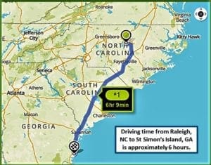
It's about a 6 hour drive from Raleigh to St Simon's Island.
St Simon’s is about 6 hours from Raleigh.

St. Simons,  the largest barrier island in the Golden Isles, lies just off the Georgia coast.

It’s a favorite family beach destination for visitor’s in the summertime.

Off the beach, St. Simons Island is dotted with remnants of historic sites you can visit, like the St Simon’s Lighthouse, Fort Frederica National Monument, and Christ Church.

The beach near St Simon's.
The beach near St Simon’s.

You can also follow the ancient footsteps of the very first tourists to the island, who travelled either by walking the forest paths or paddling down the waterways.

I did some research and found a historic hiking spot at Cannons Point Preserve on the north end of the Island.

Among other reasons to visit, the trail at Cannon’s Point Preserve  leads you to some extraordinary abandoned historic ruins along the coast.

Continue reading Hike Cannon’s Point Preserve on St Simon’s Island

Hike to the Zombie Tunnels! – Schenck Forest’s Richland Creek Trail

Most recently updated May 4th, 2023

Estimated Reading Time: 10 minutes

The Zombie Tunnel Hike is a route that goes from Umstead State Park, and all the way through Carl Alwin Schenck Memorial Forest – with the help of the Richland Creek Trail.

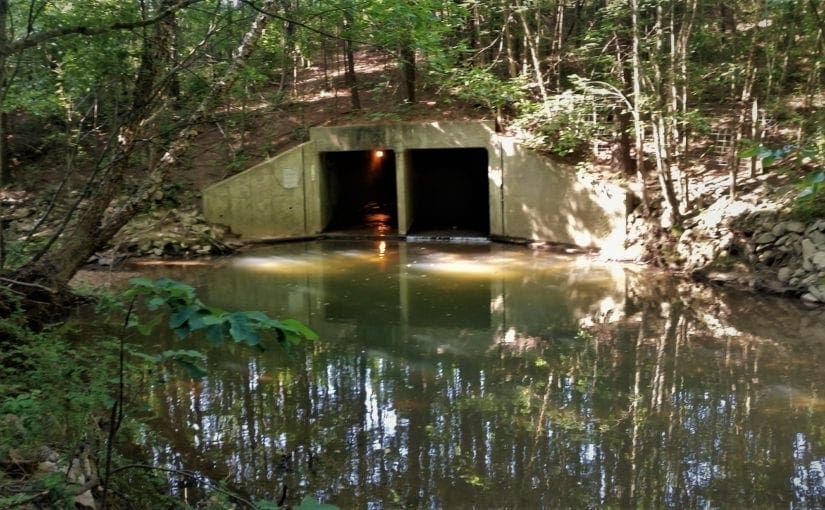
All tunnels could be zombie tunnels...
All tunnels could be zombie tunnels…

I’ve been leading this hike for years, and people really enjoy it. 

At over 11 miles, it’s a good long hike, but it’s pretty flat, and has a lot of different features – like Zombie tunnels!

Okay, there may not *actually* be any Zombies, but it sure looks like there could be….and one time I did find a mutant fish in there 🙂

According to legend, Brigadoon only appears for one day every 300 years.

I don’t host this hike very often because conditions need to be just right or the route is impassable, and I hate to disappoint anyone.

The other thing about this route is that, depending on recent weather conditions or new construction, parts of the trail have been known to disappear like Brigadoon at sunrise.

So earlier this year, before I posted the hike for others to join me, I decided to take a look and see if the route was still there – and still the same.

Good news!  The route was still there – and still mostly the same.  In fact some parts had actually been improved!  

Now – just in time for Halloween! – I’ll tell you what I found, and how to get there – and maybe you can go try this somewhat spooky trail for yourself…

UPDATE:  There have been some major changes to the Schenck Forest access area over the past few months.   Read on for more updated info.

New construction on the Schenk access road off of Reedy Creek road.
New construction on the Schenck access road off of Reedy Creek road.


Continue reading Hike to the Zombie Tunnels! – Schenck Forest’s Richland Creek Trail

Hike Virginia’s Triple Crown – an Appalachian Trail Section

Most recently updated October 15th, 2024

Estimated Reading Time: 22 minutes

The Appalachian Trail (AT) runs through or very near areas of North Carolina and Virginia that were hardest hit by Hurricane Helene.

Portions of the AT are open, along with many other Virginia and NC State Parks and trails in the Eastern part of the State.  That said, Parks and the AT on the Western side of the State have been damaged and may be inaccessible. 

Go to my Hurricane Helene page to get the latest updates on the latest area Park, Trail and road repairs before you travel. 

Mists rise from the mountains after a summer rain.
Smoky Mountains get their name from the mist that settles in the valleys.

As soon as I heard about the Triple Crown hike in the Blue Ridge Mountains,  I knew I had to do it!

View of the Dragon's Tooth at the hike summit.
View of the Dragon’s Tooth at the hike summit.

It’s an epic hike within easy driving distance from my home in North Carolina, do-able as a solo hiker  – with reasonable precautions – even in the heat of summer.

Most importantly the summer of 2020, the Triple Crown trails and trailhead parking were just re-opened for use.

Effective June 13:  The National Park Service has reopened the Appalachian National Scenic Trail in Virginia’s Blue Ridge, including the Triple Crown section of Dragon’s Tooth, McAfee Knob, and Tinker Cliffs. 

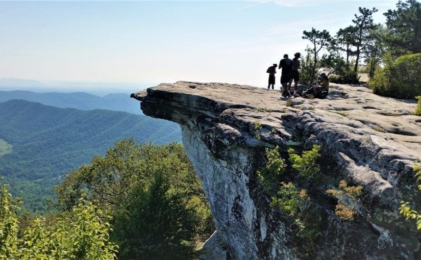
The Triple Crown hike is actually a group of three hikes – Dragon’s Tooth, McAfee Knob, and Tinker Cliffs – that can be done individually or tackled as an overnight backpacking hike all together.

The Triple Crown trail loop is 35 miles of the best hiking in the Roanoke Valley  and arguably some of the best overlooks in the entire state of Virginia.

If you decide to explore this portion of the Appalachian Trail, you’ll be rewarded with incredible overlooks, unique rock formations, shelters for rustic camping, and challenging, bucket-list-worthy trails 🙂 Continue reading Hike Virginia’s Triple Crown – an Appalachian Trail Section